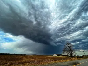
Active Alerts Aley, TX
You should monitor later forecasts and be alert for possible FloodWarnings. Those living in areas prone to flooding should be preparedto take action should flooding develop.
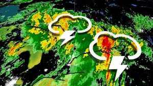
* WHAT...Flooding caused by excessive rainfall continues to bepossible.* WHERE...Portions of north central and northeast Texas, includingthe following counties, in north central Texas, Collin, Fannin,Grayson, Hunt, Kaufman and Rockwall. In northeast Texas, Anderson,Delta, Henderson, Hopkins, Lamar, Rains and Van Zandt.* WHEN...Through Wednesday morning.* IMPACTS...Excessive runoff may result in flooding of rivers,creeks, streams, and other low-lying and flood-prone locations.Low-water crossings may become flooded. Area creeks and streamsare running high and could flood with additional heavy rainfall.* ADDITIONAL DETAILS...- Rainfall totals of 1 to 3 inches.
Do not drive cars through flooded areas.Caution is urged when walking near riverbanks.Additional information is available at www.water.noaa.gov/wfo/FWD.
...The Flood Warning is extended for the following rivers in Texas...Navasota River Near Easterly affecting Robertson and LeonCounties....The Flood Warning continues for the following rivers in Texas...Trinity River Near Long Lake (Oakwood) affecting Anderson,Freestone and Leon Counties.Trinity River At Trinidad affecting Navarro and HendersonCounties.* WHAT...Moderate flooding is occurring and moderate flooding isforecast.* WHERE...Trinity River at Trinidad.* WHEN...Until further notice.* IMPACTS...At 46.0 feet, Major flooding will occur along the rightbank to agricultural fields and cattle ranches.* ADDITIONAL DETAILS...- At 8:00 PM CDT Tuesday the stage was 44.7 feet.- Bankfull stage is 33.0 feet.- Flood stage is 33.0 feet.- Forecast...The river is expected to rise to a crest of 45.0feet tomorrow evening.
Turn around, don't drown when encountering flooded roads. Most flooddeaths occur in vehicles.Be especially cautious at night when it is harder to recognize thedangers of flooding.
* WHAT...Urban and small stream flooding caused by excessiverainfall is expected.* WHERE...Portions of central and north central Texas, including thefollowing counties, in central Texas, Henderson. In north centralTexas, Hopkins, Rains and Van Zandt.* WHEN...Until 900 AM CDT.* IMPACTS...Minor flooding in low-lying and poor drainage areas.Overflowing poor-drainage areas. River or stream flows areelevated.* ADDITIONAL DETAILS...- Doppler radar indicated heavy rain due to thunderstorms. Thiswill likely cause urban and small stream flooding. Low lyingand/or poor drainage areas will experience minor flooding inthe advisory area.- Some locations that will experience flooding include...Gun Barrel City, Canton, Wills Point, Grand Saline, Mabank,Chandler, Van, Malakoff, Tool, Seven Points, Edgewood, Emory,Brownsboro, Eustace, Trinidad, East Tawakoni, Point,Fruitvale, Edom and Enchanted Oaks.