Flood risk in B.C.'s Lower Mainland will intensify by 2100: report
A new sea level data map shows flood risk zones will extend higher and further inland on Canada's coast, particularly impacting populated areas in parts of Metro Vancouver south of the Fraser River.
It's estimated 325,000 people in Canada will live on land falling in annual flood risk zones by 2100, according information released Thursday by Climate Central — a non-profit group consisting of scientists and communicators based in Princeton, New Jersey.
DON'T MISS: Can EV batteries handle Canada's changing climate? Experts weigh in
It's a 10 per cent increase from the group's 2030 estimate of 295,000 people facing annual flood risk.
Risk of significant coastal flooding is especially apparent in Richmond, Delta and South Surrey, said Climate Central's vice president Peter Girard.
By the end of the century, nearly all of Richmond, Delta and large chunks of Surrey will lie below annual flood levels, the new map projects.
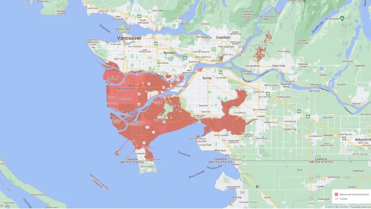
A new map from the U.S.-based research group Climate Central shows flood risk zones will extend further inland in portions of Metro Vancouver in the future. (Submitted by Climate Central)
"This isn't surprising," Girard said during a Zoom interview with CBC News.
"As you look south of Vancouver, you see areas already at risk of coastal flooding … and those risks increase over time and by the end of the century you're going to see significant risks."
Previous estimates from the Intergovernmental Panel on Climate Change project sea levels will increase to 0.5 metres by 2050 and one metre by 2100 along the B.C. coast, primarily affecting areas in the Lower Mainland like Delta and Richmond, which includes Vancouver International Airport.
It's high time to prepare for the risks, Girard said.
"Being able to look 30 or 60 years into the future … means that planners in those areas can begin preparing for the risk before it becomes reality," he added.
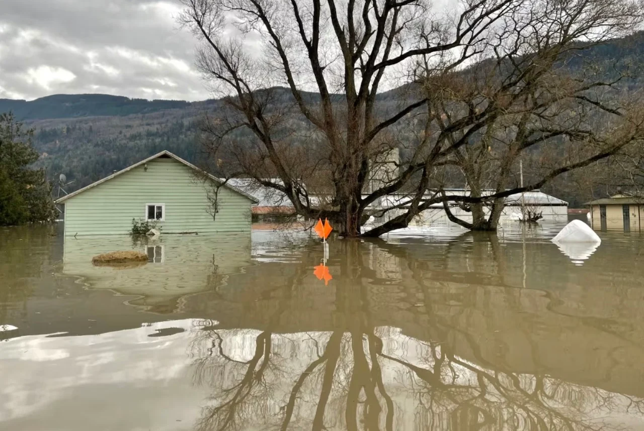
Flooding in Sumas Prairie near Abbotsford, B.C. The breach of a dike there contributed to disastrous flooding throughout the Sumas plain in 2021. (Oliver Walters/CBC)
Municipalities south of the Fraser River have been aware of the impending challenge for a long time, Delta Mayor George Harvie said.
"We've been repairing [dikes] and looking at areas which are subjected to winds and storm surges and protecting our residential areas," Harvie told CBC News.
But the Delta mayor said the responsibility of maintaining dikes is weighing heavy on local governments.
"We have about 67 kilometres of dikes in Delta and for us to bring them up to standard [can cost] $2 billion, and that's just for Delta. It's not going to happen."
In 2011, the B.C. government transferred the responsibility of operating and maintaining dikes to the local government.
Harvie said he would like to see the province get more involved.
WATCH: The fight to save Vancouver's disappearing beaches
Climate experts say dikes aren't a silver bullet, and point to other protections municipalities can use.
According to Karen Kohfeld, director at Simon Fraser University's School of Environmental Science, one such measure includes wetland restoration.
"It's a classic example of some of the nature-based solutions that can be put in place to help protect the shoreline on a larger scale," she said.
The SFU professor said wetlands and marshes act as a defence system to reduce coastal energy by lowering the amplitude and speed of ocean waves, which mitigates storm damage and shields coastlines from erosion.
Delta Mayor Harvie said the city has partnered with the City of Surrey and Semiahmoo First Nation in a similar marshland restoration project known as the Living Dike Pilot Project.
With the project at Boundary Bay, the largest salt marsh in southwestern Canada, collaborators aim to gradually deposit sediment into the marshlands over a 30-year period. The plan aims to increase the marsh's height, forming a natural barrier capable of withstanding rising sea levels.
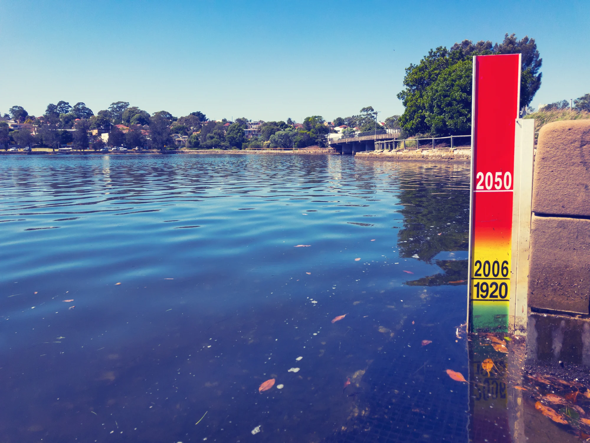
(Getty Images-672207358)
What's causing sea levels to rise?
Kohfeld said one of the major contributors to sea level rise is global warming.
The ocean is getting warmer, she explained.
"It's storing heat, and as the water warms up, it expands. And that simple expansion of sea water causes the volume of the ocean to get bigger."
Additionally, melting glaciers — large sheets of ice and snow — are adding more water to Earth's oceans, she said.
While an increase of up to one metre in sea levels over the course of the next 75 odd years might not sound as striking, experts caution against "underestimating the power of water."
Kohfeld said the increase in the amount of water will exacerbate the impact of king tides and storms.
Climate Central's Girard said the rise in global emissions is another contributor to elevated coastal flood risks.
"As long as we pollute, as long as carbon dioxide continues to enter our atmosphere, these impacts will become more severe," he said.
WATCH: Changes in sea levels could have an influence on volcanic eruptions
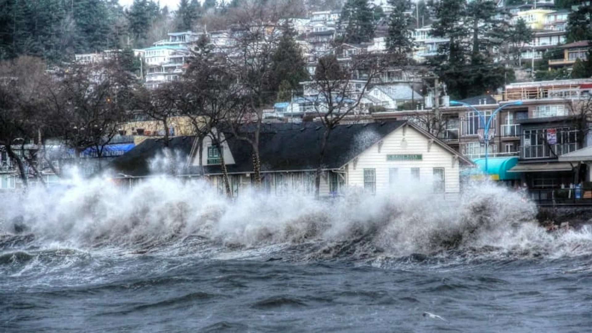
Thumbnail courtesy of Bill Hawke via CBC.
The story was originally written by and published for CBC News. It contains files from Sohrab Sandhu and Shaurya Kshatri.


