Storm, rain risk may disrupt weekend plans for some in southern Ontario
May is finally here, bringing us one month closer to the coveted summer months! But the first weekend may not be as nice as you’d like
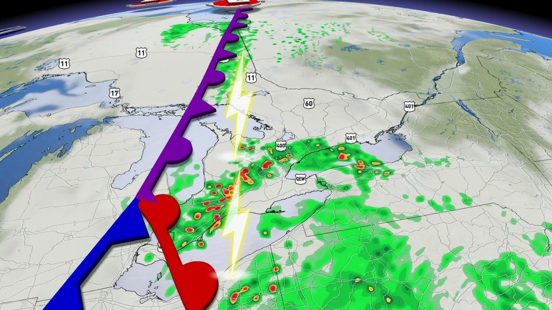
A few folks around southern Ontario woke up to rumbles of thunder on Friday as scattered storms made their way through the region.
Friday’s wakeup call was a preview of what we may deal with over the next couple of days as an active storm track settles over the Great Lakes.
A series of systems will affect southern Ontario into early next week, each bringing a round of rain and a risk for thunderstorms to the region.
YOUR MAY OUTLOOK: Spring into summer or a stalling spring ahead, Canada?

Scattered showers continue through Saturday and Sunday
The remnants of Friday night's showers will end early Saturday morning through eastern Ontario, leaving behind a chance for light afternoon sprinkles into cottage country, the Lake Huron shores, and eastern Ontario.
Any plans across the Greater Toronto Area (GTA) should go off without a hitch as conditions remain dry but cloudy throughout the day.
It’s a short-lived reprieve, though, as the rain will return overnight Saturday and persist into Sunday.

SEE ALSO: May is here, along with all its Canadian weather extremes
Showers and a risk for thunderstorms will continue into the mid-afternoon hours Sunday before pushing into eastern Ontario by Sunday evening.
The rain and possible rumbles of thunder will meander over to the GTA through Sunday's mid-afternoon hours before moving up to eastern Ontario in the evening.
For the most part, the heaviest rainfall will stay to the north around Sault Ste. Marie and Sudbury, where it is much needed.

Stay with The Weather Network for more forecast information and updates on your weather across southern Ontario.