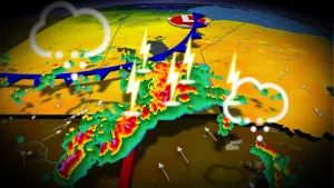
Atlantic ‘hurricane alley’ sees ominous mid-July heat in February

The heart of the tropical Atlantic Ocean hit summer-like warmth in the middle of February, an ominous sign for this year’s hurricane season
Temperatures in a part of the tropical Atlantic Ocean commonly called ‘hurricane alley’ are as warm right now as they usually are in the middle of July—and it’s only the middle of February.
Waters across the northern Atlantic Ocean have been running at historic highs since 2023, but the extent of the warmth down in the tropical Atlantic is cause for concern heading into the summer.
Such astounding warmth could provide ample fuel for tropical systems to roar as we approach hurricane season in a couple of months.
DON’T MISS: Global ocean record snowballs into 2024, major hurricane impacts looming
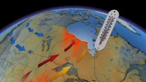
The Atlantic Ocean has been stewing for over a year
The world’s oceans have been running a fever for more than a year now. Record warmth in the Atlantic, as well as a strong El Niño in the eastern Pacific, helped vault global sea surface temperatures to unprecedented heights in 2023.

It’s a trend that hasn’t slowed down so far in 2024, either, with January’s average ocean temperatures coming in closer to what you’d expect to see in mid-May. Things have only gotten worse in the Atlantic Ocean, which has been running a formidable fever in its own right.
Widespread record-warm sea surface temperatures across the Atlantic helped drive an above-average 2023 hurricane season against all odds. Those warm waters have even boosted snowstorms across the East Coast.
Tropical Atlantic hits summer-like warmth in February
The extent of unprecedented warmth is even more harrowing farther out to sea. Hurricane forecasters spend the winter and spring months closely watching water temperatures in the Atlantic’s Main Development Region (MDR), the vast stretch between the Lesser Antilles and western Africa.

A map of sea surface temperature anomalies across the Atlantic Ocean on February 17, 2024. Waters in the tropical Atlantic are running 1-3°C above seasonal. (Climate Change Institute/University of Maine)
Tropical disturbances moving out of western Africa tend to develop as they roll across the Atlantic’s MDR, lending this region the nickname ‘hurricane alley’ during the height of the season in August and September.
Hurricane expert Michael Lowry compiled sea surface temperature data for the Atlantic’s MDR and found that average sea surface temperatures across the region clocked in warmer than 26°C on Valentine’s Day. That’s a few degrees warmer than average for the middle of February, and a level of warmth you’d expect to see in the middle of July.
It’s easy to lose sight of how incredible this kind of warmth is. Breaking water temperature records is tough in part due to water’s high heat capacity. It takes a while for sea surface temperatures to warm up and cool down.
Temperatures running several degrees above normal is also a big deal. Take El Niño, for instance, which can have a profound effect on global weather patterns with sea surface temperatures just 0.5°C warmer than normal.
Historic warmth could portend a stressful hurricane season
Scale-topping warmth in the Atlantic Ocean could provide plenty of fuel for tropical systems to develop this season.
Hurricanes gather strength when winds evaporate a tiny layer of water off the surface of the ocean. That steamy water vapour rises into the clouds and releases its heat, feeding energy into the thunderstorms around the eye of the hurricane. Warmer waters can allow this process to go into overdrive, sometimes rapidly strengthening a hurricane in just a few hours.

RELATED: How hot water fuels the world’s most powerful hurricanes
We’re also facing the likelihood of the eastern Pacific’s El Niño giving way to the cooler-than-normal waters of La Niña by the peak of this year’s hurricane season. La Niña reduces destructive wind shear blowing over the Atlantic, which can make conditions even more favourable for budding tropical systems to take root and develop.
Combined, these factors could lead to an active hurricane season across the Atlantic basin heading into this summer. It’s never too early to make sure your home hurricane kits are well stocked and ensure you’ve got plans in place to deal with storms long before they ever develop.