Dangerous travel amid ongoing blizzard warnings for the start of fall

Though we did just flip the calendar to fall, you'd think we had forgot the season all together with the warnings being issued across parts of Canada's north.
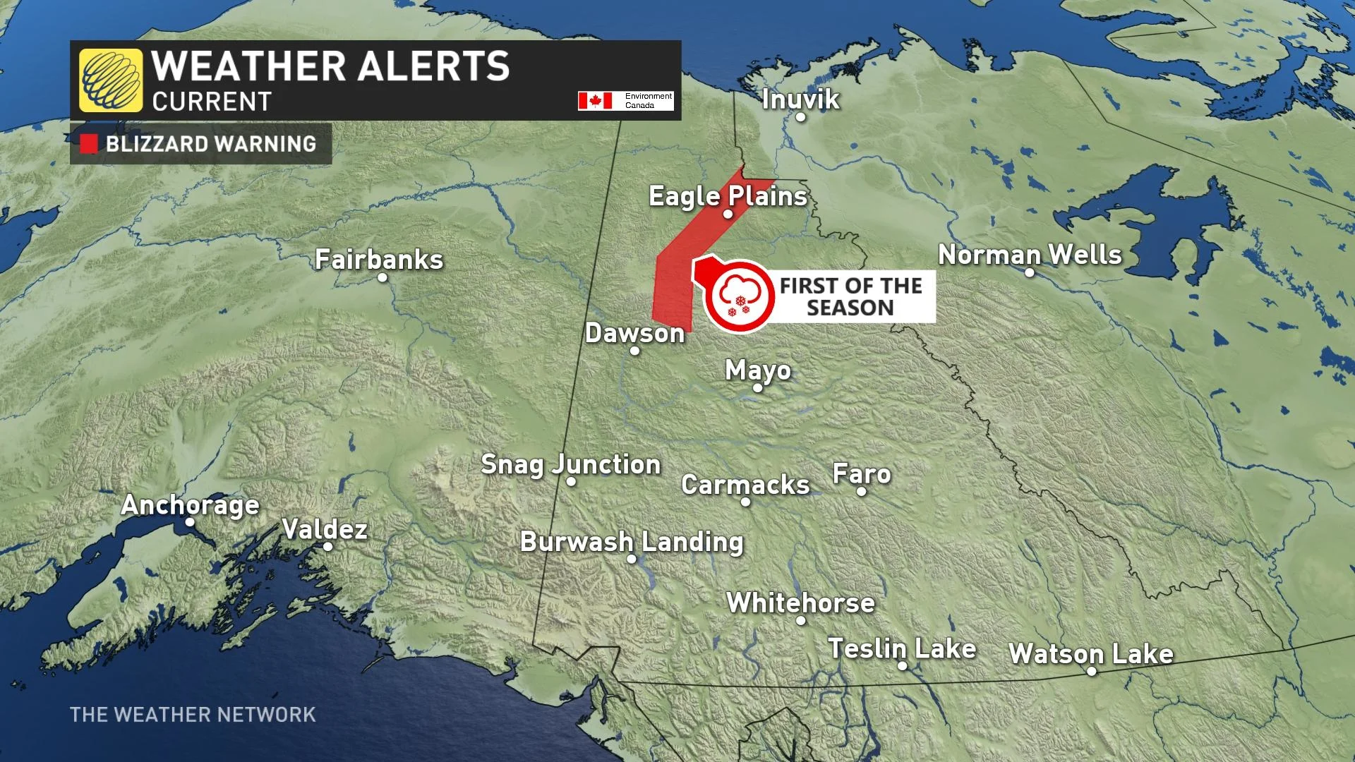
The first snowfall warning of the season was issued for Yukon's Dempster Highway on Wednesday, only to be replaced by the first blizzard warning for the same area, which now continues into Friday.
Visit our Complete Guide to Fall 2021 for an in-depth look at the Fall Forecast, tips to plan for it and much more!
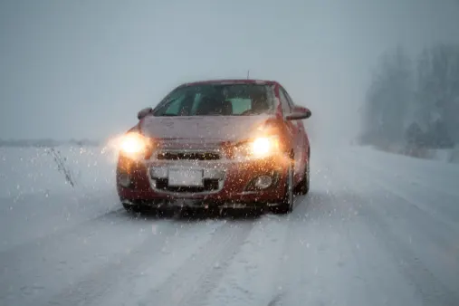
The frontal system which gave snow to the central and northern Yukon earlier in the week has passed, but another system from the Gulf of Alaska pushed into the region on Thursday evening. Winds have increased to near 90 km/h with that system, combined with snow falling through the early parts of Friday.
Near zero visibility is expected at times before the winds gradually ease by Friday afternoon.
"Travel is expected to be hazardous due to reduced visibility. Visibility will be suddenly reduced to near zero at times in heavy snow and blowing snow. Prepare for quickly changing and deteriorating travel conditions," says Environment and Climate Change Canada (ECCC) in the blizzard warning.
The Dempster Highway connects the Klondike Highway in Yukon to Inuvik, Northwest Territories, on the Mackenzie River delta.
The last snowfall warning that was issued this year was on June 1 and it was also in Yukon. Meanwhile, southern Alberta had winter storm warnings in effect from June 6-8 earlier this spring.
Is this early arrival of winter weather in Canada's north a sign of what's to come this season? Find out in the official 2021 Fall Forecast, here.