Wet snow slows the commute in Ontario, 'seasonably chilly' temperatures lock in

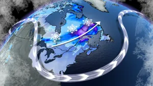
The first week of December will end with some snow, but with milder temperatures helping to prevent any major accumulations as it mixes with rain. Mostly sunshine will dominate the weekend ahead, still feeling chilly however, as temperatures hover near, or just below, freezing. More on how much snow to expect Friday, plus a look at the colder pattern that locks in for the first half of the month, below.
WEATHER HIGHLIGHTS:
Wet snow develops Friday morning, continuing into the afternoon
Weak squalls develop for Saturday, no significant accumulations expected
Fair and chilly for the weekend, more typical December pattern sets up next week
Visit our Complete Guide to Winter 2021 for an in depth look at the Winter Forecast, Canada's ski season, and tips to plan for everything ahead!
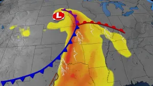
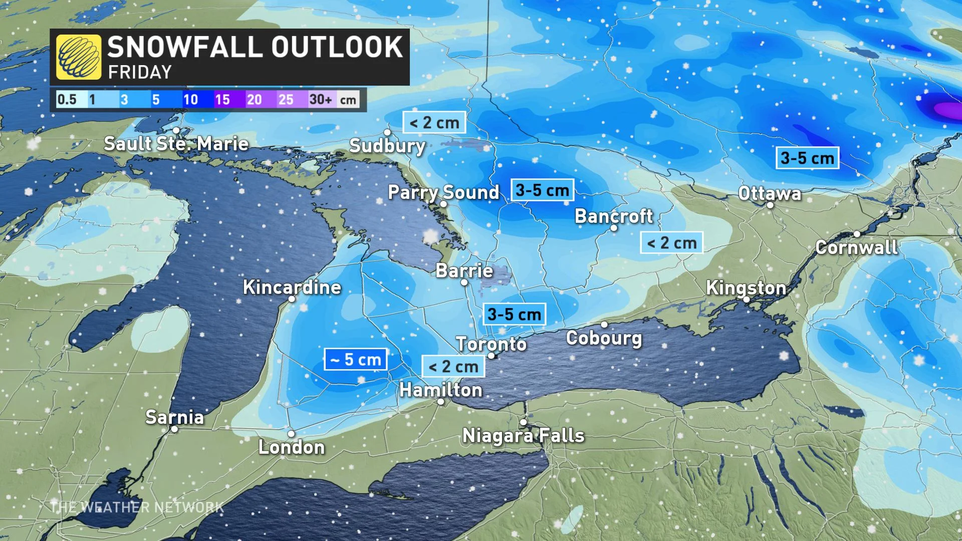
FRIDAY: BLAST OF WET SNOW SLOWS TRAVEL TIMES
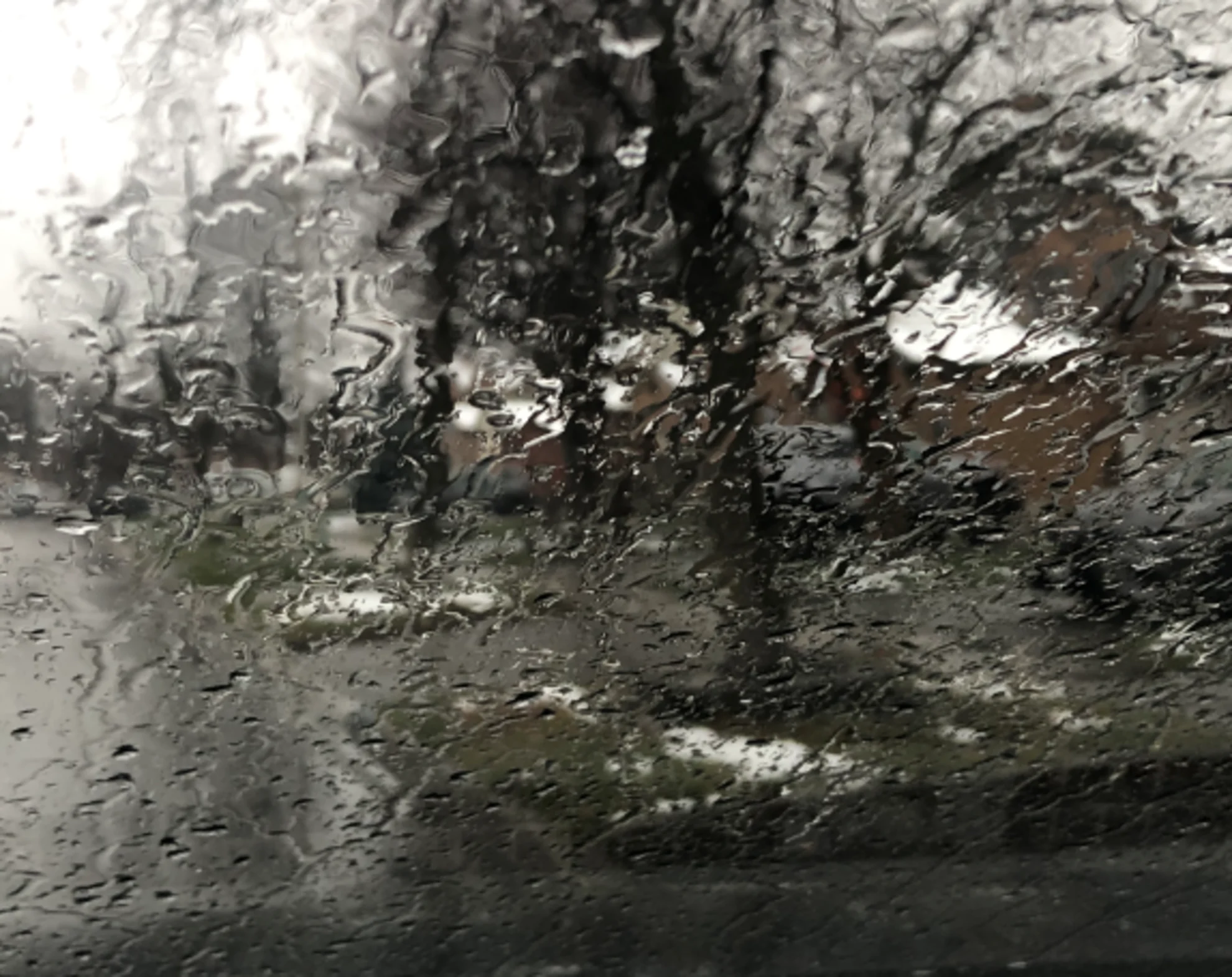
After beginning the week with some record-setting rain and snow, parts of southern Ontario will see the week out with another round of light, wet snow. Not nearly as significant as the December 1 snowstorm, but still could be enough to slow commute times during the day Friday.
Environment Canada issued a winter weather travel advisory for the southern Durham region Friday morning, warning of reduced visibility along and north of Highway 407.
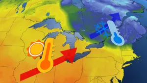
With temperatures about 1-2 degrees warmer than expected, overall, snowfall accumulations won't amount to much throughout the day. A general 1-3 cm is expected across the Greater Toronto Area -- though with no real accumulation expected to stick on pavement -- and closer to 5 cm possible over higher terrain.
The snow will mix with rain near Lake Ontario, where accumulations are expected to be minimal, with just rain showers likely across the Niagara region as well.
Conditions will clear by Friday night as the fast moving clipper pushes out, setting up for a mostly fair, but chilly December weekend ahead.
WEEKEND AND BEYOND: TEMPERATURES STAY ON THE COOL SIDE OF SEASONAL, GOOD CHANCE FOR WHITE CHRISTMAS
Weak snow squalls are expected to develop on Saturday, across Highway 402 and Highway 26, from Collingwood to Owen Sound. No significant accumulations are likely, but travel conditions may deteriorate under the band of snow.
Despite the sunshine expected to persist into Sunday, temperatures will feel a bit "seasonably chilly," as they hover around or a little below the freezing mark, feeling colder with the wind chill.
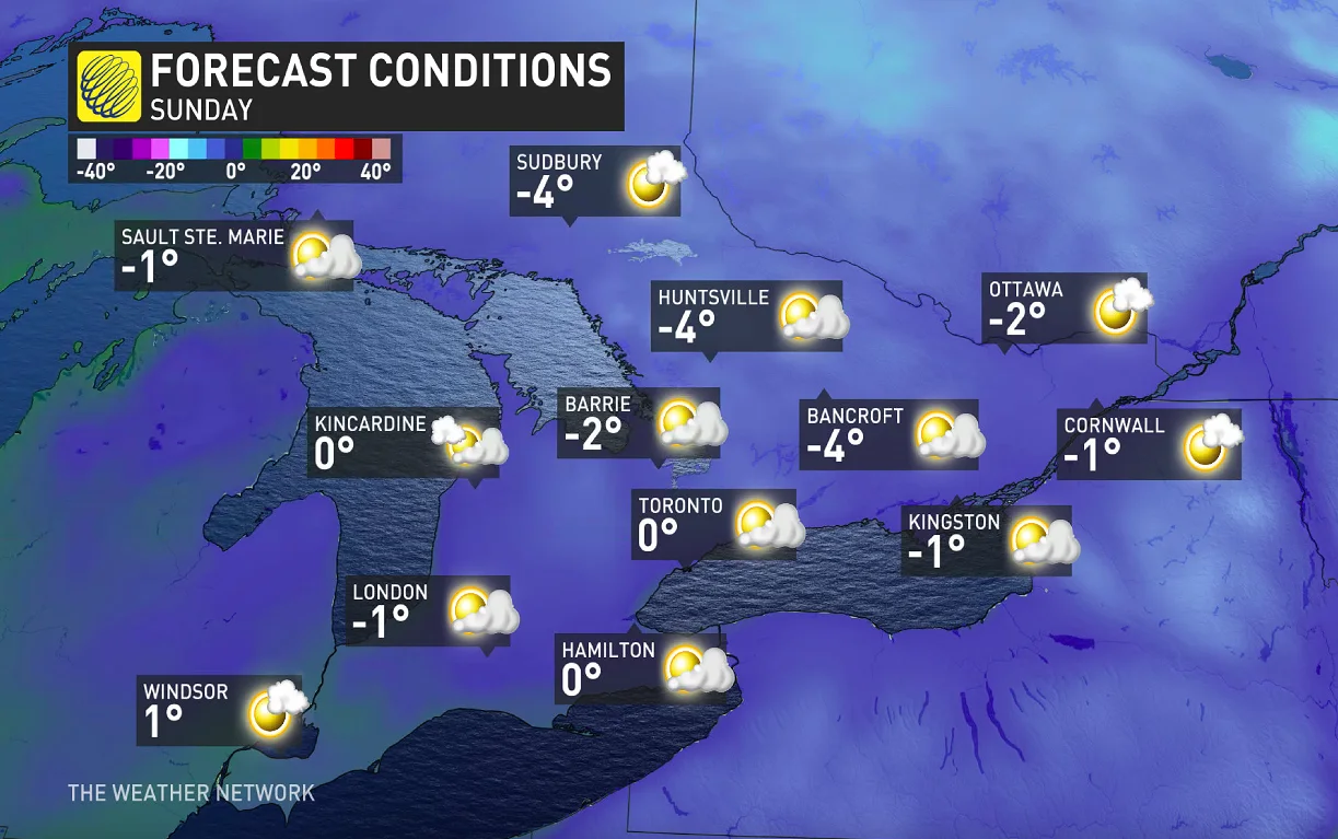
"Temperatures will be on the cool side of seasonal early next week as well, but no significant systems are in sight," says Weather Network meteorologist Dr. Doug Gillham. "As we look ahead to the middle of December, it looks like our temperatures will trend even colder."
A more active pattern also looks to set up again by mid-month, with a "higher than normal chance for a white Christmas," Gillham adds.
Be sure to check back for the latest updates on your December weather.