Snow risk follows another night of bitter cold in Ontario, Quebec

We have to get through one more bitterly cold winter’s night across Ontario and Quebec before the deep freeze relents a bit. Temperatures will remain below seasonal heading into next week, with a chance for more frigid conditions by midweek. Some lake-effect snow and flurries will accompany us throughout the day on Saturday, and a clipper will threaten more snow early next week. More on what to expect this weekend and beyond, below.
PHOTOS: Winter storm wallops Ontario, Quebec, drivers shovel on the side of the highway
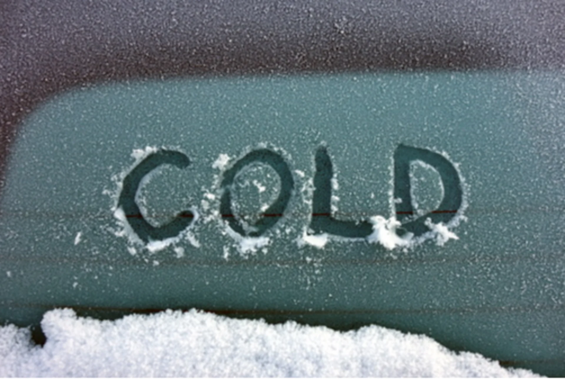
FRIDAY NIGHT: TEMPERATURES DIVE, DANGEROUSLY COLD FOR SOME
We saw some light snow across the Golden Horseshoe into Friday evening as a weak band of lake-effect snow pushed ashore off of Lake Ontario. The band will slow to an end overnight, and temperatures will take one more plunge before conditions moderate just a bit later this weekend.
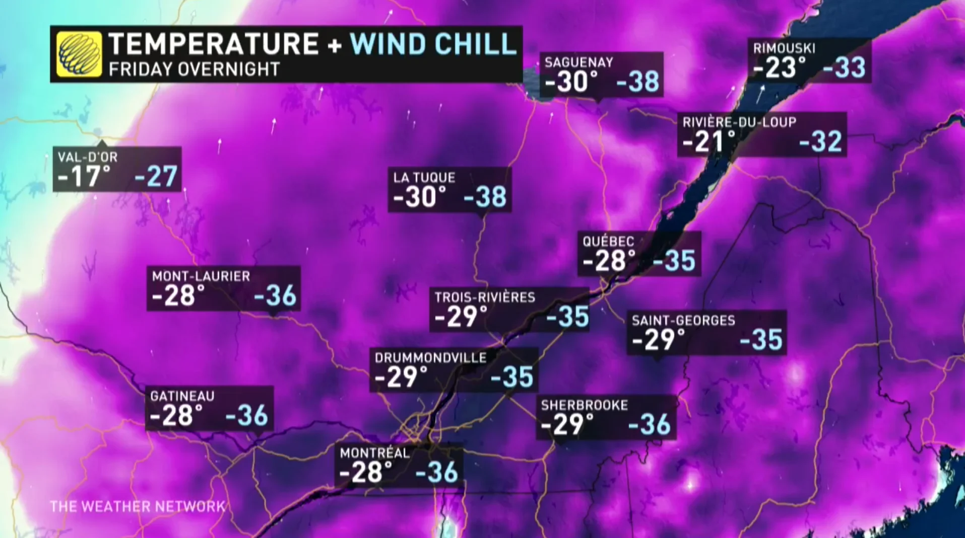
Morning lows will dip into the negative teens across much of southern Ontario. The focus of the extreme cold will fall across cottage country, eastern Ontario, and southern Quebec, where another round of extreme cold warnings are in effect through Saturday morning.
DON’T MISS: Here's how to stock your vehicle's emergency kit, BEFORE you get stranded
Montreal could come perilously close to recording its coldest temperature since 2004 with a low of -29°C on Saturday morning. Similar temperatures will bathe communities all along the St. Lawrence.
Temperatures this cold are downright dangerous to anyone who’s outside too long unprotected. Hypothermia and frostbite can develop in less than an hour with air temperatures between -25°C and -30°C.
SATURDAY NIGHT AND BEYOND: LIGHT SNOW, THEN LONG-LASTING COLD
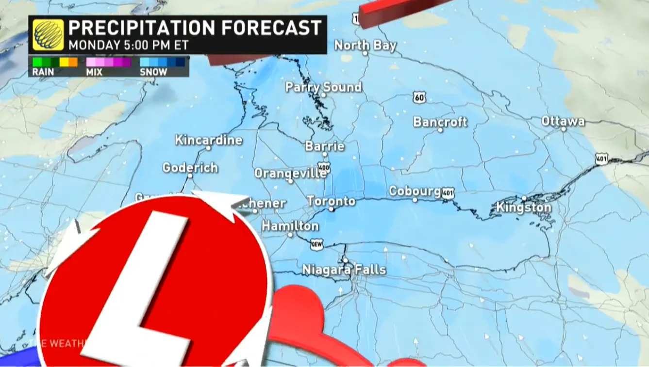
Saturday night will see a cold front roll across the Great Lakes region. The front won’t have much moisture to work with, but flurries are possible across southern and eastern Ontario as the boundary pushes through into Sunday morning.
Bands of lake-effect snow are also possible behind the front, focusing on the usual areas along the shores of Lake Huron and Georgian Bay. Communities here could see 10-20 cm of snow under the heaviest bands, with general accumulations of 5-15 cm away from the lakeshores.
Beyond, we’re looking at a persistently cold pattern across both Ontario and Quebec. Both daytime and nighttime temperatures will remain below seasonal into next week. Temperatures could fall into dangerously cold territory once again by midweek.
A clipper system could arrive in southern Ontario early in the week, with generally light accumulations possible across the region. Another round of lake-effect snow squalls looks to accompany an additional blast of Arctic air by mid-week. Temperatures should recover somewhat as we head into next weekend.
A bigger pattern change is expected for the start of February, as the frigid weather will shift back to western Canada and remain there for the month. While the pattern will definitely be milder than what we are seeing for the second half of January, it is possible that early February will also include some high impact and messy storms.
Subscribe to 'This Day in Weather History': Apple Podcasts | Amazon Alexa | Google Assistant | Spotify | Google Podcasts | iHeartRadio | Overcast'
Check back for the latest forecast across Ontario and Quebec.