Wintry mix threatens poor travel over southern Saskatchewan

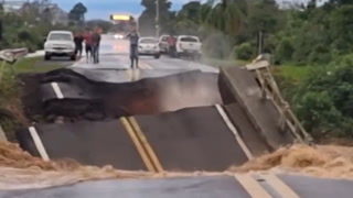
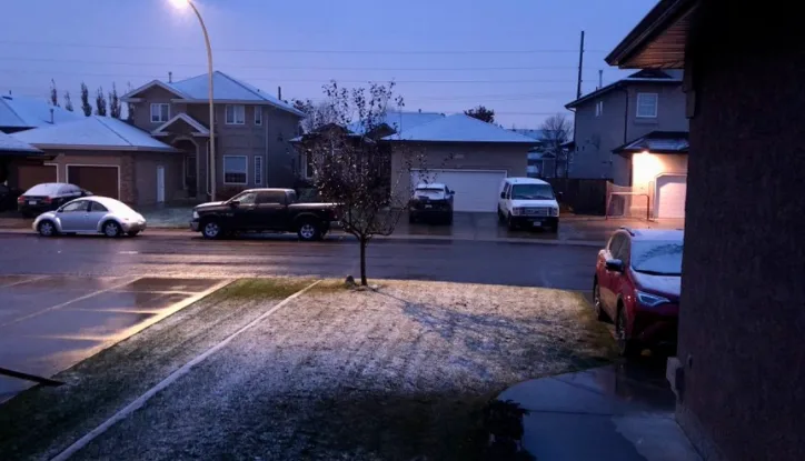
Thanksgiving weekend gave a wintry sneak preview to parts of Alberta and B.C, with Saskatchewan the next in line to see a helping of early season snow. That's thanks to a Colorado low tracking through the eastern Prairies, brining a wintry mix of rain and snow to southern sections to the province early Thursday. While October snow is certainly not unheard of, drivers were being warned to prepare for some poor travel conditions with these first flakes that were flying. In Manitoba, the story has been a much needed soaking of heavy rain, as temperatures remained on the milder side for the region with this system. More on the timing and impacts, below.
Visit our Complete Guide to Fall 2021 for an in-depth look at the Fall Forecast, tips to plan for it and much more!
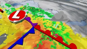
THURSDAY: COLORADO LOW PUSHES THROUGH EASTERN PRAIRIES, PRECIPITATION EASES
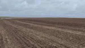
The Colorado low that began tracking through the region on Wednesday prompted special weather statements for parts of southern and central Saskatchewan early Thursday. That's as parts of the province, particularly the Saskatoon to Regina corridor, were threatened with an early dose of rain and wet snow.
"Combined with near freezing temperatures, there may be areas of poor travel conditions this morning across the region," the statement from Environment Canada read Thursday morning.
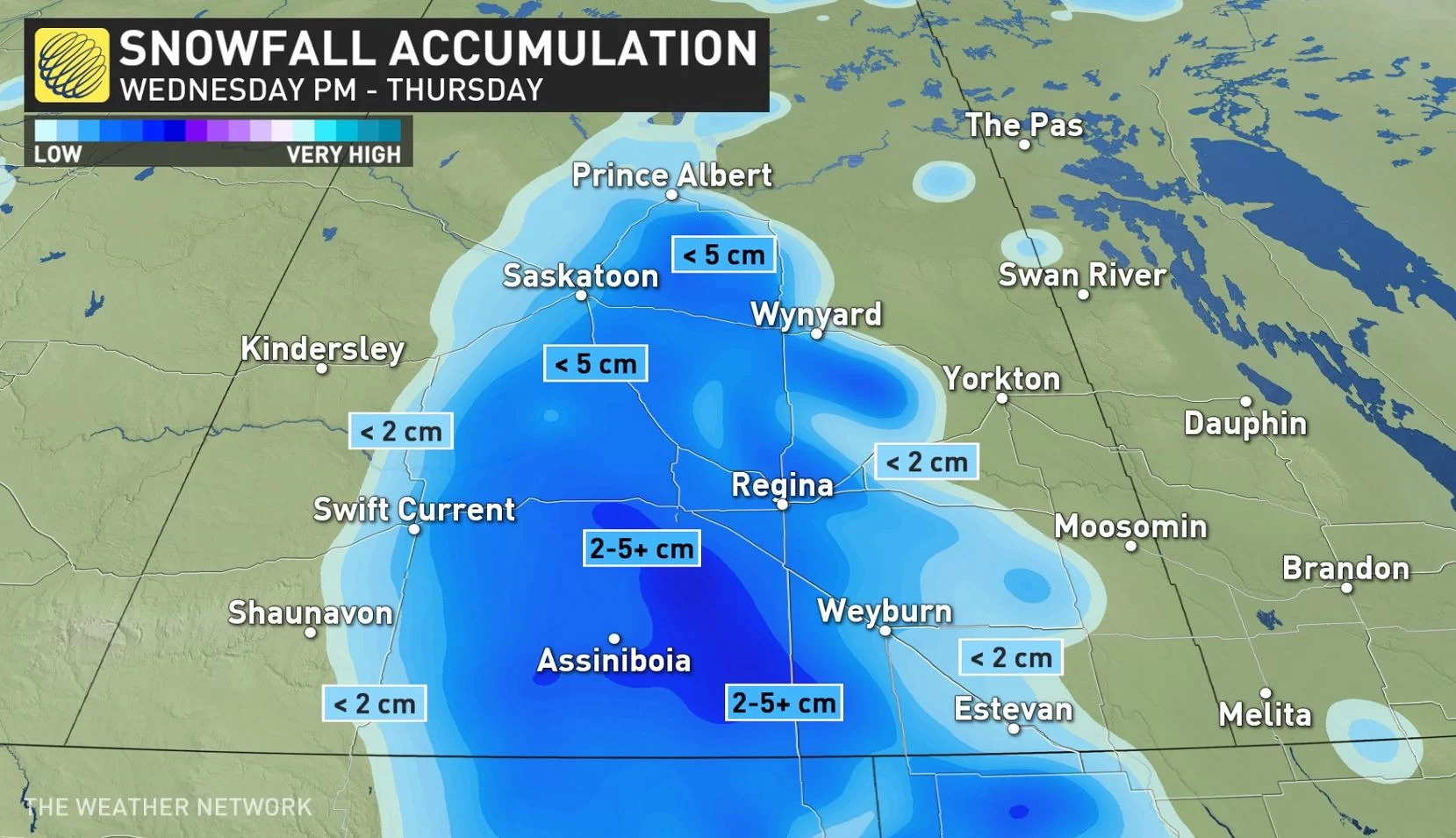
Because of the relatively mild ground temperatures and a rise in temperatures later on Thursday, any of the snow that falls is expected to melt and temperatures will return to double digit highs once again by Friday.
MUST SEE: Wintry weather pays Western Canada a surprise Thanksgiving visit
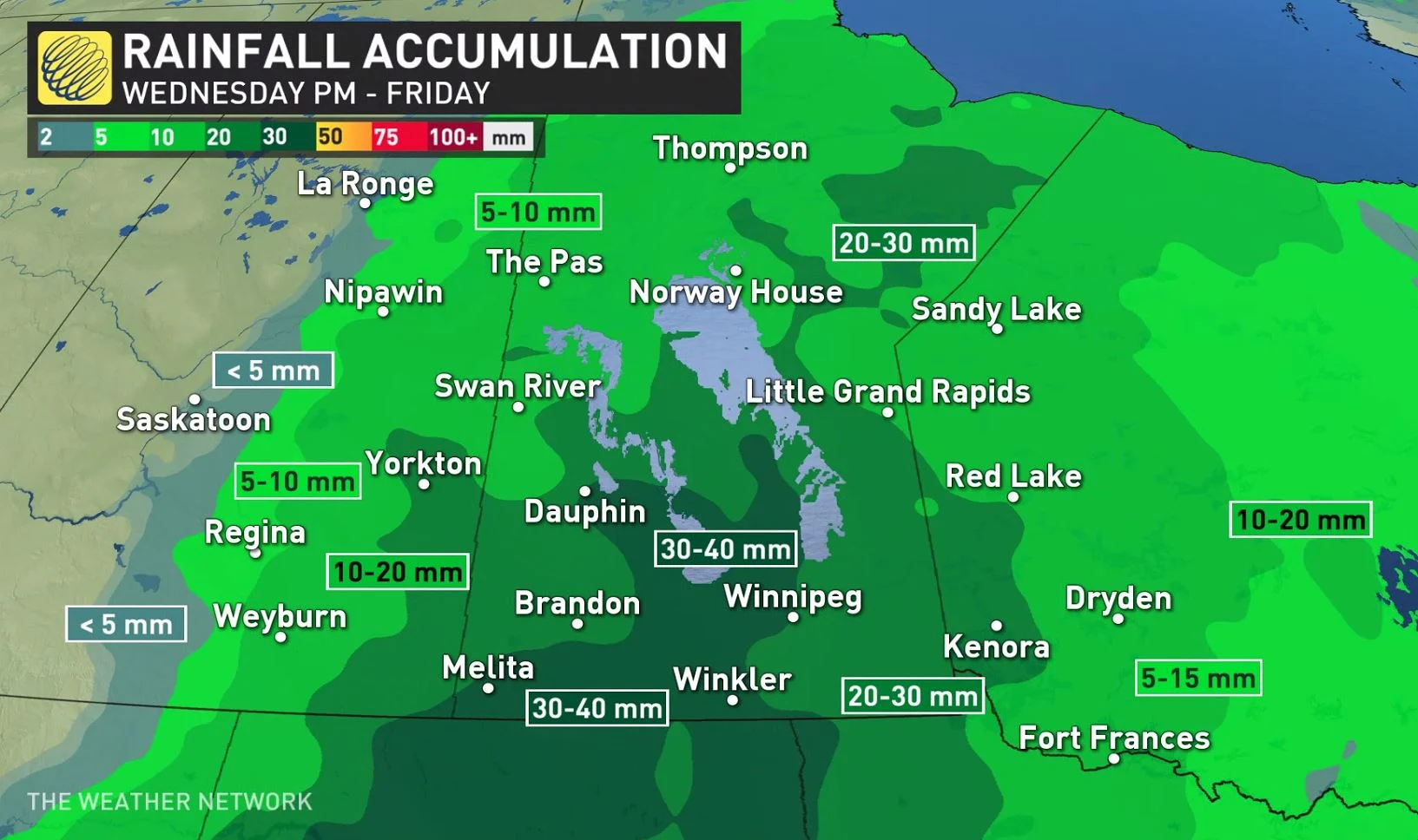
The precipitation has manifested as straight rain for parts of Manitoba, as it continues to spread over northwestern Ontario as well.
Locally heavy amounts up to 40 mm are possible for parts of southern Manitoba, including Winnipeg, by the time the rain tapers, with some showers also spreading well into Ontario and eastern Saskatchewan.
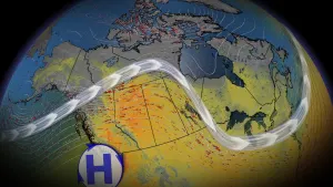
LOOK AHEAD: ANOTHER SHOT OF SNOW IN ALBERTA, BUT WARM-UP IS LOOMING
A much warmer pattern returns to the Prairies heading into the weekend, though with a brief shot of cooler weather expected behind a system on Sunday. That system could threaten some heavy snow in parts of western Alberta, but at this point, it looks like any significant precipitation will be limited to far northern areas as the system tracks east early next week.
Beyond the weekend, temperatures will then soar to above seasonal values through the end of the month.
Be sure to check back for the latest updates on the weather across the Prairies.
Thumbnail image courtesy: @rhubarbtime65