IN PHOTOS: Late-season severe weather in Ontario with tornado-warned storms

Friday felt like summer redux across southern Ontario, in more ways than one.
While the north shivered beneath light snow, the south basked in temperatures that topped the 20-degree mark by the early afternoon for many communities, feeling closer to the mid-20s with the humidity.
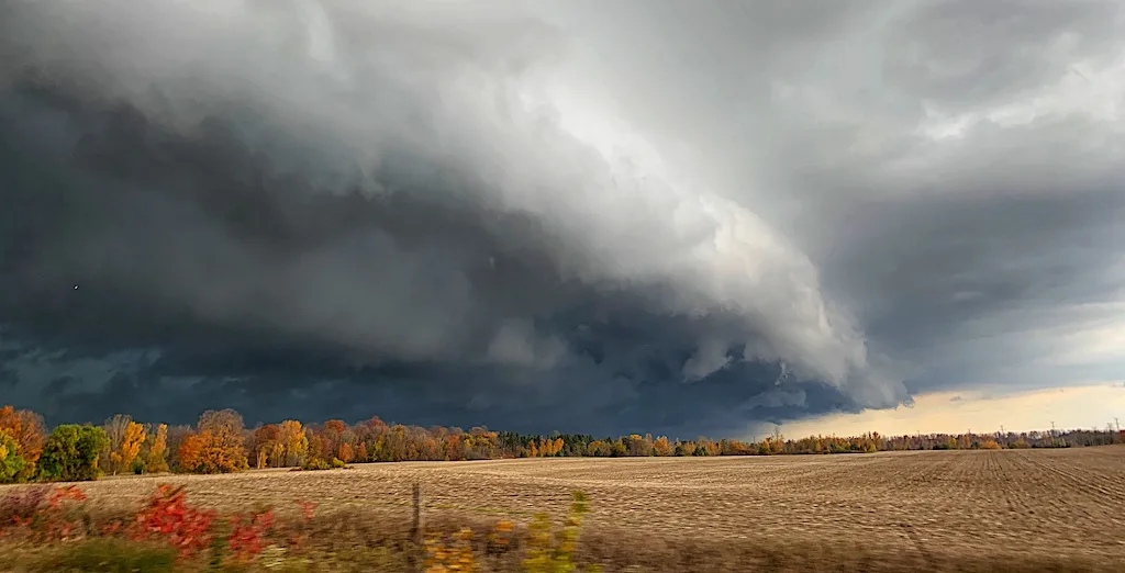
With summer-like heat came summer-like storms as a cold front sank southward through the afternoon, triggering severe thunderstorms as they went, some of which were tornado-warned for the better part of two hours before those warnings were dropped.
No tornadoes have been confirmed as of yet, but Environment Canada did receive a report of a possible twister near Baysville, as trees were knocked down. There was also reports of damage in Thornbury, with trees uprooted and power lines down.
As well, the thunderstorms produced various sizes of hail in different locations, ranging from nickel-sized in Honeywood to tennis ball-sized in Penetanguishene.
Below is a look at some of the storm's effects as they played out on Twitter.
Thumbnail courtesy of Mark Robinson.