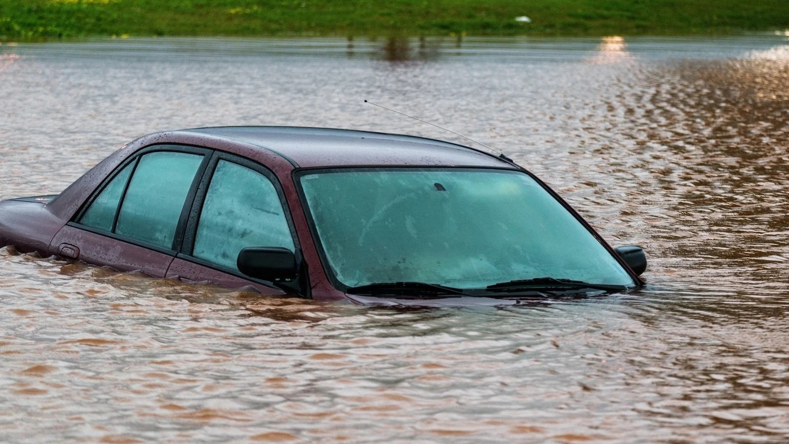
New satellite could help improve global flood predictions

This new satellite could offer a more comprehensive look at flooding in North America, as well as in more vulnerable, under-studied parts of the world.
In 2021, a new satellite will be launched to help scientists improve flood prediction around the world, according to a new study, published last month in the journal Geophysical Research Letters. The Surface Water and Ocean Topography (SWOT) satellite mission will simultaneously measure water surface elevations and inundated areas of the Earth’s land surface. The SWOT mission combines efforts from NASA, the French National Space Agency (CNDS) and the national agencies in the United Kingdom and Canada.
The new technology could offer very valuable information for geologists, hydrologists and others interested in the state of the Earth’s water. It will also provide a more comprehensive look at flooding in areas of the world where information is usually very scarce, like much of Africa, Indonesia and South America. Other well-documented flood-prone areas, like the U.S. and Canada, will also benefit from the SWOT to improve their flood predictions.
The new satellite data will be used to fine-tune flood plain maps, and will also help experts anticipate which areas would mostly be affected by excess water from snow and ice melt or even hurricane rainfall and storm surge.
RELATED: New climate report paints harsh picture for future of Canada's coastlines
Flooding is a clear signal of climate change causing more extreme long-lasting precipitation episodes in many regions. According to Renato Frasson, lead author of the study and senior research associate at Byrd Polar and Climate Research Center (Ohio State University), the radar installed on the SWOT will collect information on large scale floods where flooding historically has not been studied as well.
"Land use changes, rivers migrate, sometimes naturally, and sometimes due to human activity," said Frasson via ScienceDaily. "However, in some areas of the world, the best available maps are not updated often enough. With this mission, we will be able to go in and correct that old data."
Frasson also insists that such information can be very valuable for improving flood models and their calibration. However, SWOT temporal sampling will be limited, with most locations in the world being seen once every seven to 10 days, which may cause it to miss floods. Using a record of global flood information, including duration and location, compiled by the Dartmouth Flood Observatory and the expected satellite orbit, the estimate is that SWOT will collect at least one measurement over 55 per cent of these events.
Although monitoring flooding is not the main purpose of the mission, the collected data will help a good number of scientists with their research. SWOT will help predict where and when floods will happen. This will prove to be especially useful for those having to plan ahead of time. When it comes to evacuating people or just laying out sandbags before the arrival of a major storm, any extra time is always welcome.
Sources: Geophysical Research Letters, Ohio State University via ScienceDaily


