Inbound shot of snow in southern Ontario may bring travel to a crawl

Southern Ontario is in the middle of a parade of systems that will track across over the next 10 days, with most of them being Alberta clippers just brushing the region with a few centimetres of snow. Such will be the case Tuesday morning, with snow falling in time for the morning commute in the Greater Toronto Area (GTA), so travel will likely be impacted. Temperatures will again remain chilly, but a significant bump in daytime highs that will surpass the freezing mark is expected by Thursday afternoon. Another significant system is eyeing a weekend track, but for now, it looks as though most of the precipitation will be primarily rain. More on the timing and impacts of this week's systems, below.
Visit our Complete Guide to Winter 2022 for an in-depth look at the Winter Forecast, tips to plan for it, and much more!
TUESDAY: ANOTHER BLAST OF WIDESPREAD WET SNOW PUSHES ACROSS SOUTHERN ONTARIO, TRICKY MORNING TRAVEL
By Monday overnight, more widespread wet snow is expected to push into southwestern Ontario, as an Alberta clipper pushes through the region through Tuesday.
The snow will be falling for the Tuesday morning commute across the GTA, which could slow travel times as you make your way into school and work. As temperatures rise slightly above freezing, some areas along the lakeshore, including Niagara, could see some mixing through the morning hours.
The snow will persist into early afternoon in the south, then tracking into eastern areas in the evening as the clipper continues making a move towards Quebec.
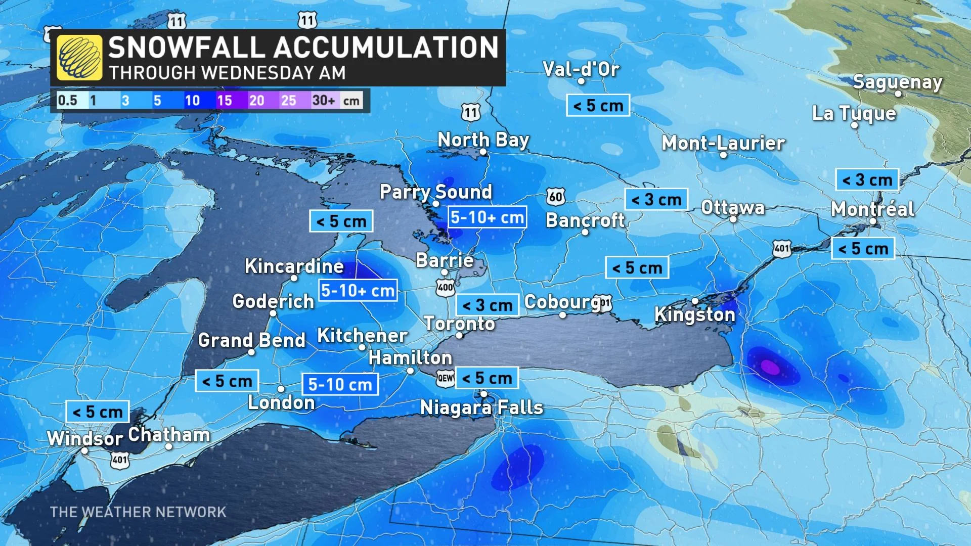
Most areas will see less than 5 cm of snow, especially for cities like Toronto and Hamilton, but 5-10+ cm could pile up for places southeast of Lake Huron, near London and in parts of the Muskoka area.
"While snowfall totals will be slightly less than Sunday's system, impact could be higher for drivers because roads will be colder and more cars will be out," says Dr. Doug Gillham, a meteorologist at The Weather Network.
Making travel more tricky will be the gusty winds with the incoming system, with a general southwest flow expected. However, this will help temperatures rebound, hovering closer to seasonal across the region on Tuesday afternoon.
LATE WEEK: TEMPERATURES BUMP WELL ABOVE SEASONAL, PERIODS OF RAIN MOVE IN
Wet snow or rain is expected to develop Wednesday night, though precipitation will change to straight rain through Thursday as temperatures rise well above seasonal values.
Daytime highs will tumble back near freezing once again on Friday, becoming blustery with scattered flurries possible.
Forecasters are watching the next significant system for Saturday and Sunday, though at this point it looks like just primarily rain, with heavy snow expected for areas well north of the GTA. There's still some uncertainty, however, with the timing and impacts of that storm system.
WATCH BELOW: WHAT'S SO SPECIAL ABOUT WINTER TIRES? THIS EXPERT HAS THE ANSWER
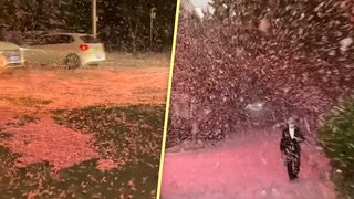
Thumbnail courtesy of Dean Marshall, taken in London, Ont.
Be sure to check back for the latest updates on the unsettled week across southern Ontario.