
PHOTOS: Late-summer severe storms spark tornado warnings in Ontario

For a second Tuesday in a row, severe weather struck southern Ontario.
The late afternoon was when activity started to fire up, thanks to instability from a warm front and a low-pressure system cutting across the Great Lakes. Severe thunderstorms trekked across northeastern, central and southern Ontario, with some of them generating tornado warnings from Environment and Climate Change Canada (ECCC).
While there hasn't been any tornado confirmations, the potential was there for supercells to develop near the shores of Lake Huron and Georgian Bay in the afternoon and evening.
SEE ALSO: Monday’s tornado in southern Ontario was one of the rarest in Canada
The storms also brought torrential rainfall, intense wind gusts, frequent lightning and hail of varying sizes to many locales.
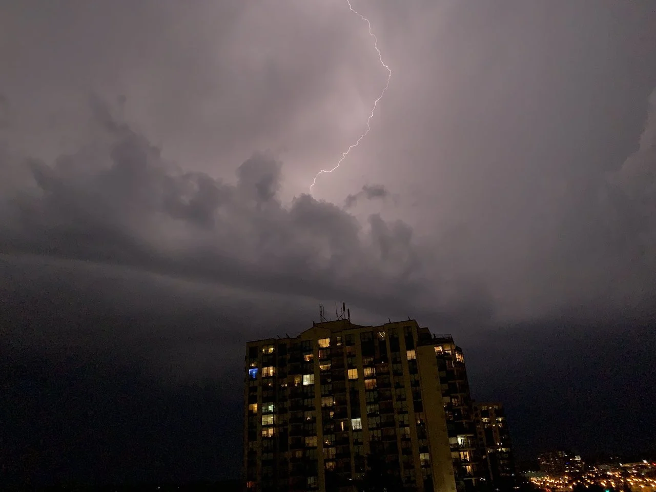
Taken in Barrie, Ont. (Neil Taylor)
While the tornado threat later diminished, a line of severe storms pushed their way across southern Ontario through the evening, reaching the GTA in the overnight hours, prompting severe warnings before pushing their way into eastern areas and Quebec during the overnight period.
Conditions will settle down as the low-pressure system moves away from the region Wednesday, with more sunshine and less active weather splashing through these final days of summer.
Below are a selection of visuals from the severe storms that roared through Ontario Tuesday.
Thumbnail image courtesy: Corey Elder


