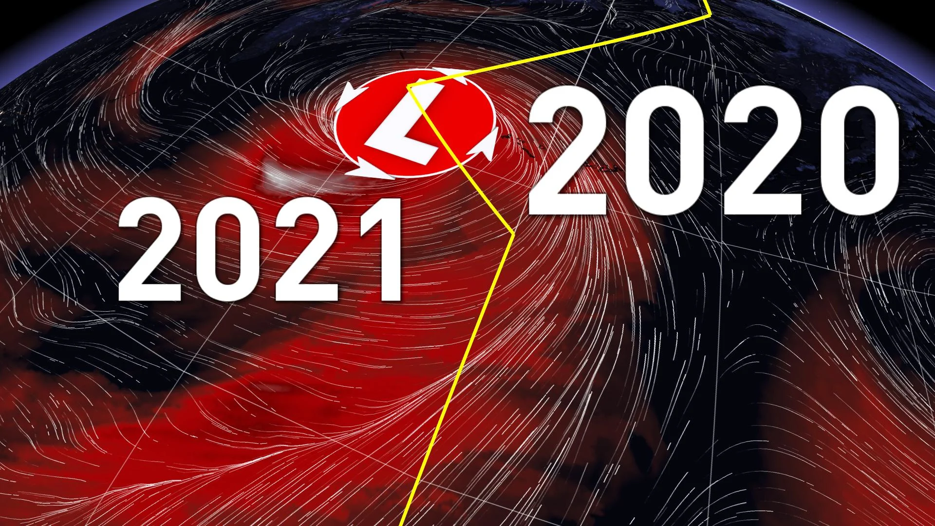
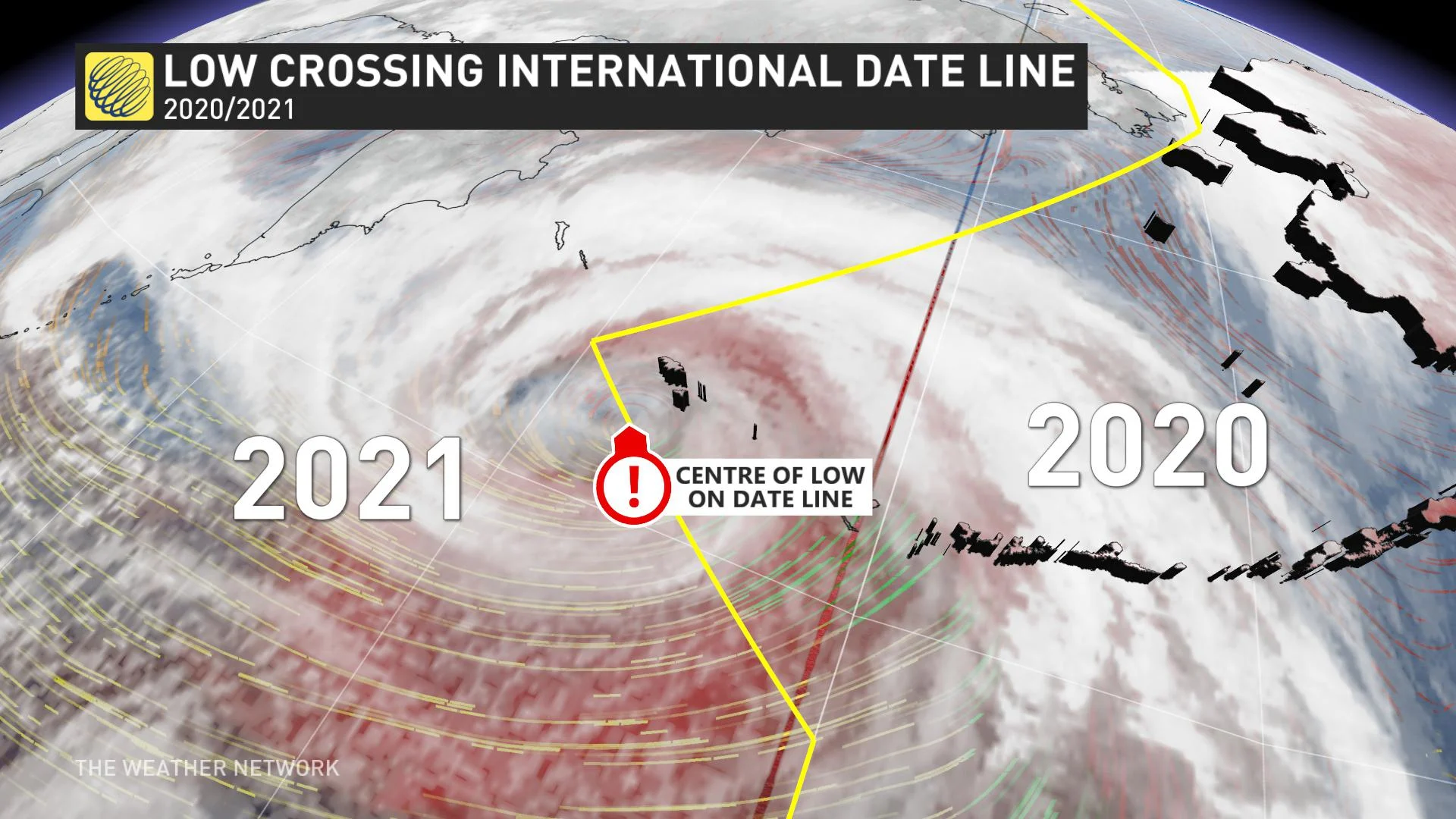
Time-bending monster storm sends air swirling between 2020 and 2021

The record-breaking low pressure system sent air parcels travelling between 2020 and 2021 as it approached North America.
A monster storm that formed in the western Pacific Ocean became a time travelling low that sent air swirling between 2020 and 2021 as it tracked over the International Date Line into the Bering Sea on Thursday.
The interaction of the frigid air mass and a powerful Pacific jet stream allowed for this system to quickly strengthen. The low rapidly intensified on Wednesday, exceeding all criteria for a meteorological weather bomb, deepening over 60 mb in 24 hours. Record-breaking cold in Siberia and Japan wrapped into the system, creating extremely tight pressure gradients; consequently, air parcels were able to spin around the International Date Line with fury.
As the storm peaked in intensity on Thursday, the maximum winds approached 200 km/h on the southern side of the low with roughly 30 per cent of the waves soaring over 15 metres, with theoretical maximum waves of nearly 30 metres – but this is impossible to verify due to limited ship reports and sparse marine buoys.
The swell will propagate across the Pacific and there is the possibility that parts of western Vancouver Island could see 6 to 8 metre waves by early next week as strong storms continue to develop along this sharp upper trough.
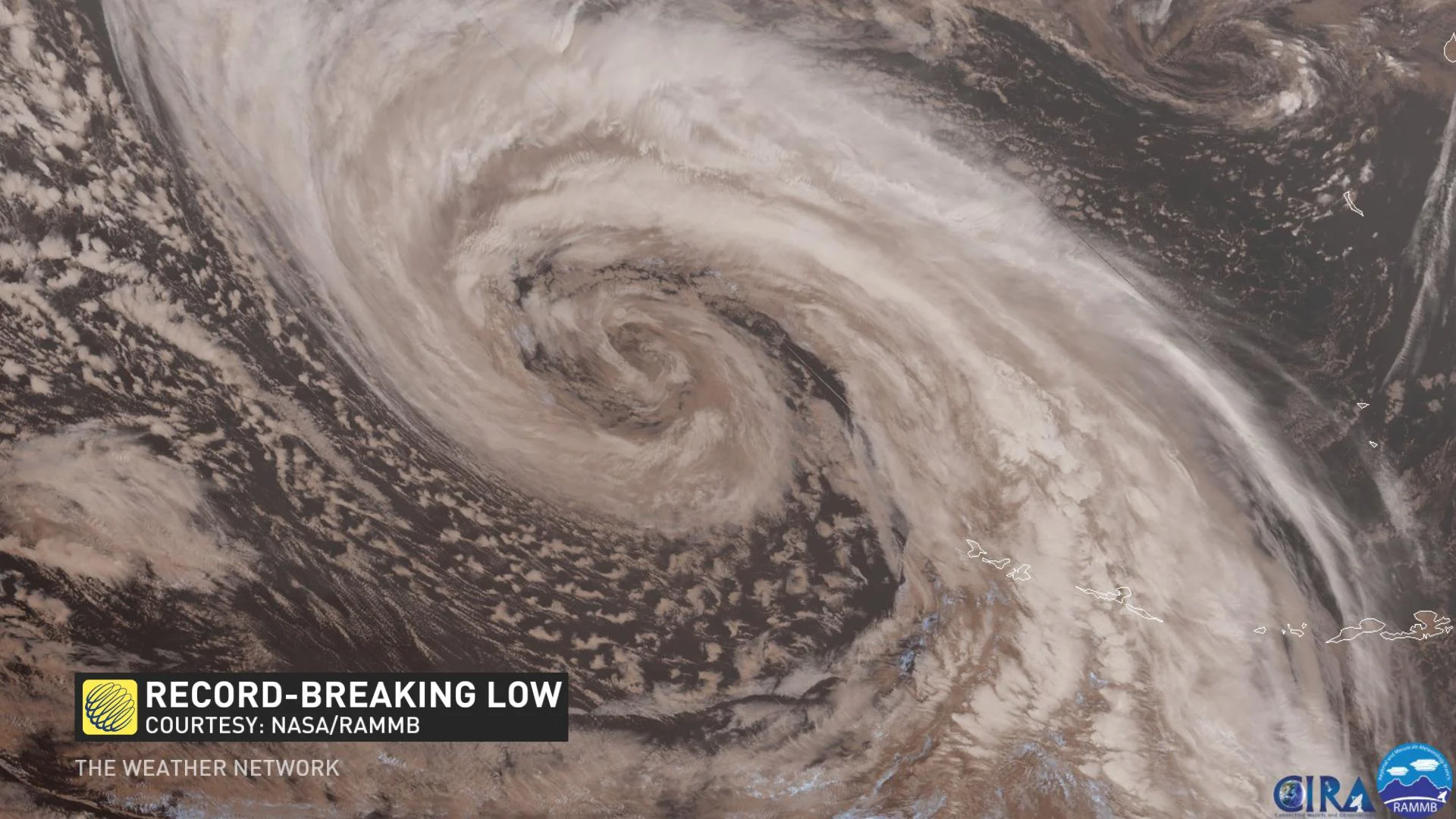
As the pressure fell below 930 mb on Shemya Island, Alaska on Thursday, it set an all-time low pressure reading for the state. According to the National Weather Surface, the low fell to 921 mb, making it one of the strongest storms to ever impact the North Pacific.
For reference, only a single Atlantic hurricane in 2020 had a lower pressure reading, Hurricane Iota at 917 mb, although this comparison is hardly a fair one.
Hurricanes extract their power from warm sea surface temperatures, while the extreme temperature gradients in the northern latitudes fuel the storms tracking across the northern Pacific.
HEAVY SNOW POSSIBLE MOUNTAINOUS B.C. REGIONS
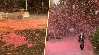
All of that energy traversing the Pacific Ocean will create some weather chaos across Canada, specifically in western regions. The ample amounts of moisture will create heavy snowfall across B.C. and many ski resorts will be measuring snowfall in metres, not centimetres, in the early days and weeks of the New Year.

In fact, it could be too much of a good thing for local resorts, as travel at times will be particularly dangerous, and avalanche danger will likely spike.
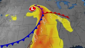
The strong jet stream that creates intense storm conditions for British Columbia will prevent the rest of the continent from seeing a consistent flow of Arctic air through mid-January.