Active Alerts Sigel, PA
THE NATIONAL WEATHER SERVICE HAS ISSUED SEVERE THUNDERSTORM WATCH464 IN EFFECT UNTIL 9 PM EDT THIS EVENING FOR THE FOLLOWING AREASIN PENNSYLVANIA THIS WATCH INCLUDES 8 COUNTIESIN NORTHWEST PENNSYLVANIAFOREST MERCER VENANGOIN WEST CENTRAL PENNSYLVANIAARMSTRONG BUTLER CLARIONJEFFERSON PAIN WESTERN PENNSYLVANIALAWRENCETHIS INCLUDES THE CITIES OF BROOKVILLE, BUTLER, CLARION,ELLWOOD CITY, FORD CITY, FRANKLIN, GROVE CITY, HERMITAGE,KITTANNING, NEW CASTLE, OIL CITY, PUNXSUTAWNEY, SHARON,AND TIONESTA.
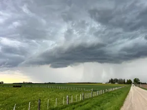
Monitor the weather situation closely and be alert for threateningweather conditions.Torrential rainfall is also occurring with this storm and may leadto flash flooding. Do not drive your vehicle through floodedroadways.
At 415 PM EDT, Doppler radar was tracking a cluster of strongthunderstorms between St. Petersburg and Rimersburg, movingnortheast at 40 mph.HAZARD...Wind gusts of 50 to 55 mph.SOURCE...Radar indicated.IMPACT...Gusty winds could knock down tree limbs and blow aroundunsecured objects.Locations impacted include...Clarion, Knox, Rimersburg, Sligo, Strattanville, Limestone,Shippenville, St. Petersburg, Corsica, Callensburg, Sigel, Fisher,Cook Forest State Park, Clarington and Clear Creek State Park.