Active Alerts Midway, SD
Turn around, don't drown when encountering flooded roads. Most flooddeaths occur in vehicles.Please report observed flooding to local emergency services or lawenforcement and request they pass this information to the NationalWeather Service when you can do so safely.
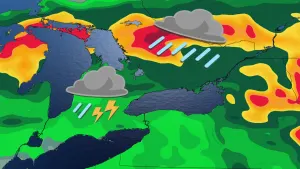
* WHAT...Flooding caused by excessive rainfall continues.* WHERE...Portions of east central, south central, and southeastSouth Dakota, including the following counties, in east centralSouth Dakota, Lake, Miner and Sanborn. In south central SouthDakota, Aurora. In southeast South Dakota, Bon Homme, Clay,Davison, Hanson, Hutchinson, McCook, Turner and Yankton.* WHEN...Until 945 AM CDT Saturday.* IMPACTS...Flooding of rivers, creeks, streams, and other low-lyingand flood-prone locations is imminent or occurring. Low-watercrossings are inundated with water and may not be passable.* ADDITIONAL DETAILS...- At 1107 PM CDT, Doppler radar and automated rain gaugesindicated heavy rain due to thunderstorms. Flooding isalready occurring in the warned area. Between 4 and 6 inchesof rain have fallen.- Additional rainfall amounts of 1 to 3 inches are possible inthe warned area.- Some locations that will experience flooding include...Mitchell, Parker, Lake Vermillion State Recreation Area, LakeHerman State Park, Salem, Freeman, Howard, Scotland, Marion,Canistota, Alexandria, Menno, Bridgewater, Montrose, MountVernon, Emery, Irene, Ethan, Mayfield and Ramona.- http://www.weather.gov/safety/flood