Active Alerts Sterrett Hill, TX
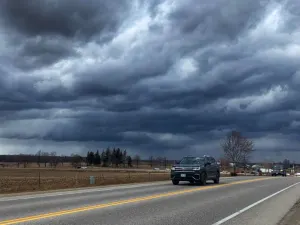
Do not drive cars through flooded areas.Caution is urged when walking near riverbanks.Turn around, don't drown when encountering flooded roads. Most flooddeaths occur in vehicles.Motorists should not attempt to drive around barricades or drivecars through flooded areas.For more hydrologic information, copy and paste the following websiteaddress into your favorite web browser URL bar:https://water.noaa.gov/wfo/SHVThe next statement will be issued Tuesday evening at 700 PM CDT.
...The Flood Warning continues for the following rivers in Texas...Louisiana...Sabine River Near Gladewater affecting Gregg, Smith, Upshur andWood Counties.Sabine River Near Hawkins affecting Wood, Smith and UpshurCounties.Sabine River At Logansport affecting Shelby, Panola and De SotoCounties.Sabine River At Longview affecting Gregg and Rusk Counties.Sabine River Near Beckville affecting Gregg, Harrison, Panola andRusk Counties.Sabine River Near Mineola affecting Smith and Wood Counties.For the Sabine River...including Mineola, Hawkins, Gladewater,Longview, Beckville, Logansport...Moderate flooding is forecast.* WHAT...Minor flooding is occurring and minor flooding is forecast.* WHERE...Sabine River near Beckville.* WHEN...Until further notice.* IMPACTS...At 30.0 feet, Expect moderate to severe flooding of thelowland floodplain for the next several days.* ADDITIONAL DETAILS...- At 6:45 PM CDT Monday the stage was 29.1 feet.- Bankfull stage is 25.0 feet.- Recent Activity...The maximum river stage in the 24 hoursending at 6:45 PM CDT Monday was 29.5 feet.- Forecast...The river is expected to fall to 27.0 feetSaturday evening.- Flood stage is 26.0 feet.- Flood History...This crest compares to a previous crest of29.3 feet on 05/04/1991.- http://www.weather.gov/safety/flood