What a decaying El Niño has to do with violent storms, tornadoes
El Niño is a naturally occurring cyclical climate phenomenon that affects both the oceans and the atmosphere.
This article was written by Jana Lesak Houser Associate Professor of Meteorology and Atmospheric Sciences, The Ohio State University
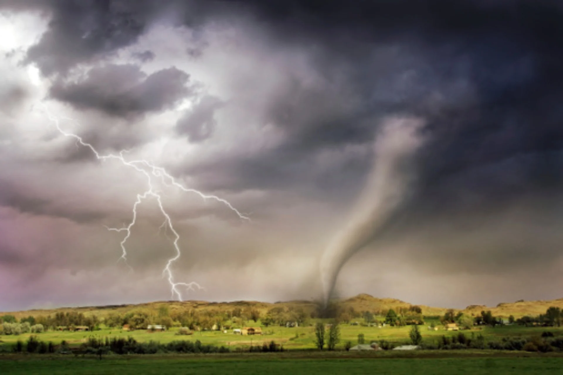
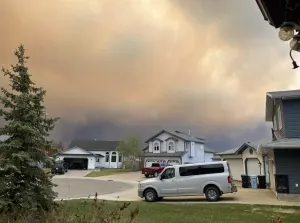
Dozens of tornadoes hit the central U.S. April 26-28, 2024, tearing through suburbs and small towns and damaging hundreds of homes from Oklahoma to Nebraska and Iowa.
Spring is tornado season in the U.S., but the tornadoes in Nebraska and Iowa were quite a bit farther north and east of what would be typical for tornadoes in late April, when tornado activity is more common in Oklahoma and Texas.
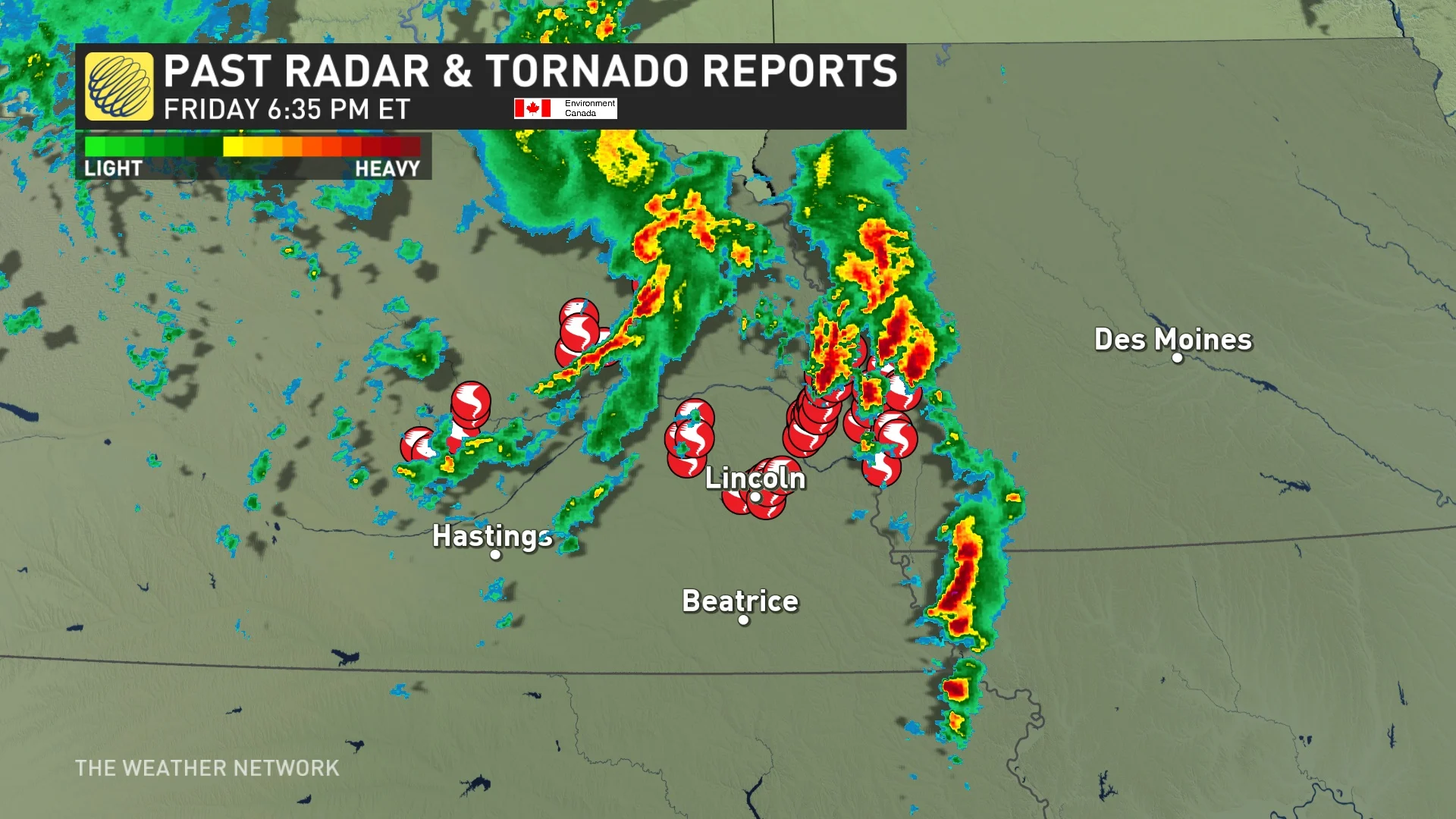
U.S. past radar and tornado reports for April 26 (The Weather Network)
The outbreak did fit another pattern for severe weather events, however, that occur as the atmosphere transitions out of El Niño. And this is exactly what was happening in late April.
I study tornadoes and the conditions under which they form. Here’s how these storm systems develop and what El Niño has to do with it.
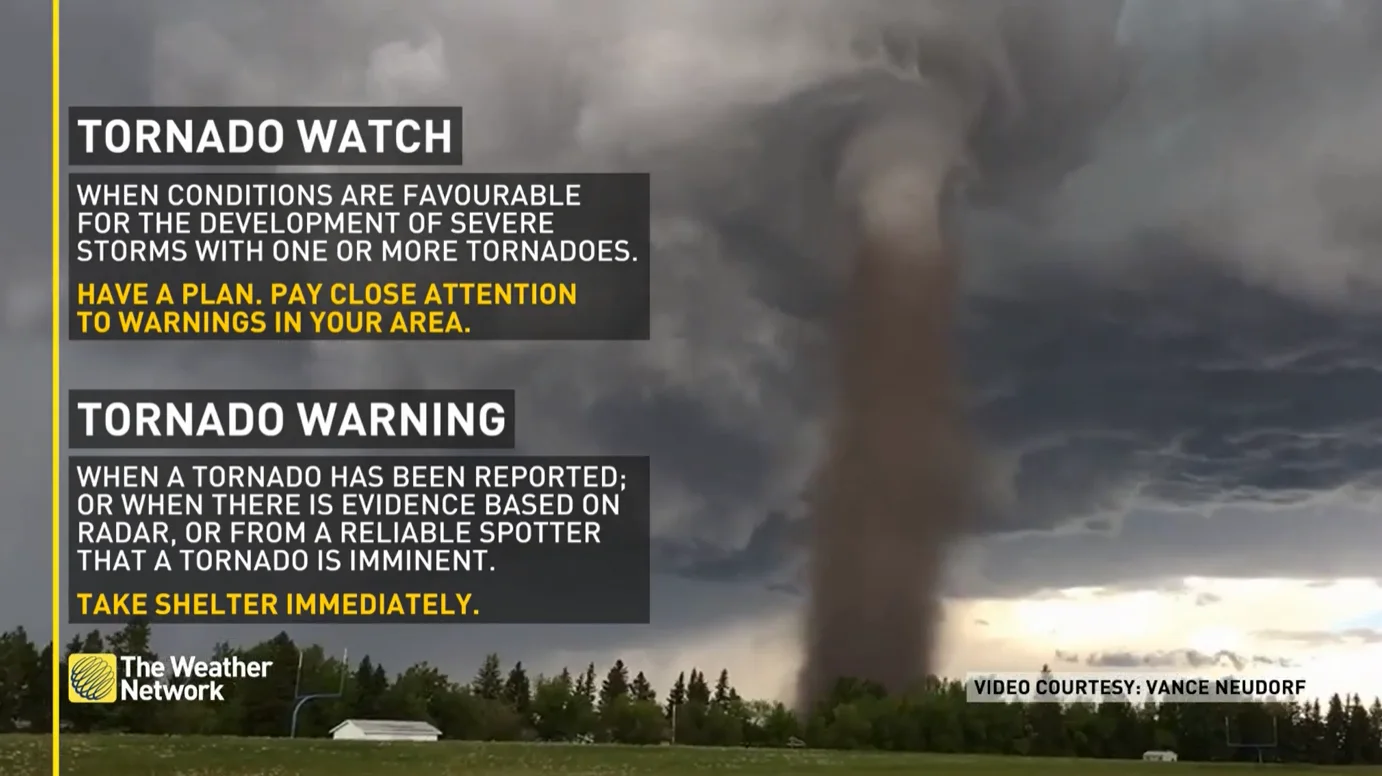
SEE ALSO: Watch? Warning? How we communicate severe weather in Canada
The right conditions for a tornado
Two basic conditions are required to produce the rotating supercell thunderstorms that are capable of generating tornadoes:
Warm moist surface conditions and cold air above.
Winds that change in both speed and direction as you move up in the atmosphere, known as vertical wind shear.
Picture a kid who has a helium balloon at a party and releases it – the balloon floats upward. Like that helium balloon, the warm moist air is less dense than the surrounding colder air, so it rises, accelerating upward. This upward motion releases heat, moisture and energy, and causes thunderstorms to develop.
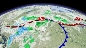
As with many severe weather outbreaks that occur in the U.S., the atmosphere became primed for storms as warm moist air at the surface was being transported northward from the Gulf of Mexico by a series of surface low-pressure systems.
Higher up, about halfway between the ground and where airplanes fly, atmospheric waves within and below the jet stream were transporting cold air through the middle part of the atmosphere. These waves, formally called Rossby waves and commonly referred to as troughs and ridges, also enhanced vertical wind shear.
WATCH: How tornadoes develop
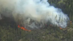
A small atmospheric wave that moved through the Central Plains and Midwest on April 26, helped trigger the tornadoes in Nebraska and Iowa, including a large, destructive tornado in the suburbs of Omaha, Nebraska, and in the town of Minden, Iowa, about 30 miles away.
The following day, a bigger wave moved through Oklahoma, where tornadoes damaged several small towns that evening.
What was especially important was how close these parameters were to the center of the surface low-pressure system and a warm front that extended just to the east of it. The tornado-producing storms were able to tap into that instability and draw on the strong vertical wind shear generated in the vicinity of the warm front.
In addition to the tornadoes, the warm moist storms brought heavy rain, flash flooding and large hail across parts of the central U.S.
WATCH: Flying debris narrowly misses car as tornado rages near Oklahoma highway
What El Niño has to do with tornado weather
In late 2023 and early 2024, much of the world experienced above-average temperatures, likely linked to global climate change and exacerbated by El Niño. El Niño is a naturally occurring cyclical climate phenomenon that affects both the oceans and the atmosphere.
When El Niño decays, the atmospheric waves change and can become wavier, so they have a greater amplitude. That tends to enhance conditions needed for tornadoes.
The U.S. often sees more frequent tornadoes when the climate is transitioning out of El Niño. The strong El Niño of 2023-24 was decaying in April 2024, and forecasters expect it to be gone by summer.
WATCH: 60-second explainer, what are El Niño and La Niña?
Forecasts can save lives
The tornadoes caused severe damage in several communities as they tore apart homes and buildings. At least five people died in the storms. But early communications that warned the public of the threat for severe weather days before the storms likely saved more lives.
Weather experts are getting better at predicting tornado conditions. It is not uncommon now to know days in advance of the actual event that an elevated threat exists. Forecasters have high-resolution weather models that can anticipate storms at an appropriate spatial scale to provide a sense of the likely organization of the storms and come close to the location.
The better we understand these storms’ attributes, the better those forecasts and warnings can become.

This article was written by Jana Lesak Houser, Associate Professor of Meteorology and Atmospheric Sciences, The Ohio State University
This article is republished from The Conversation under a Creative Commons license. Read the original article.
Header image courtesy of crisserbug. Collection: E+ via Getty Images. Creative #: 175520793


