What is 'bathymetry' and how did it contribute to Fiona's devastation?

Expert explains how the depths and shapes of underwater terrain could have exacerbated the impacts of Fiona on southwestern Newfoundland and Labrador in 2022
If you live in Atlantic Canada and are feeling anxious about the upcoming peak of hurricane season, no one will blame you.
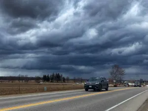
After Dorian rocked Nova Scotia in 2019 and Fiona devastated multiple provinces last September, hurricane preparedness is top of mind for many living on the East Coast.
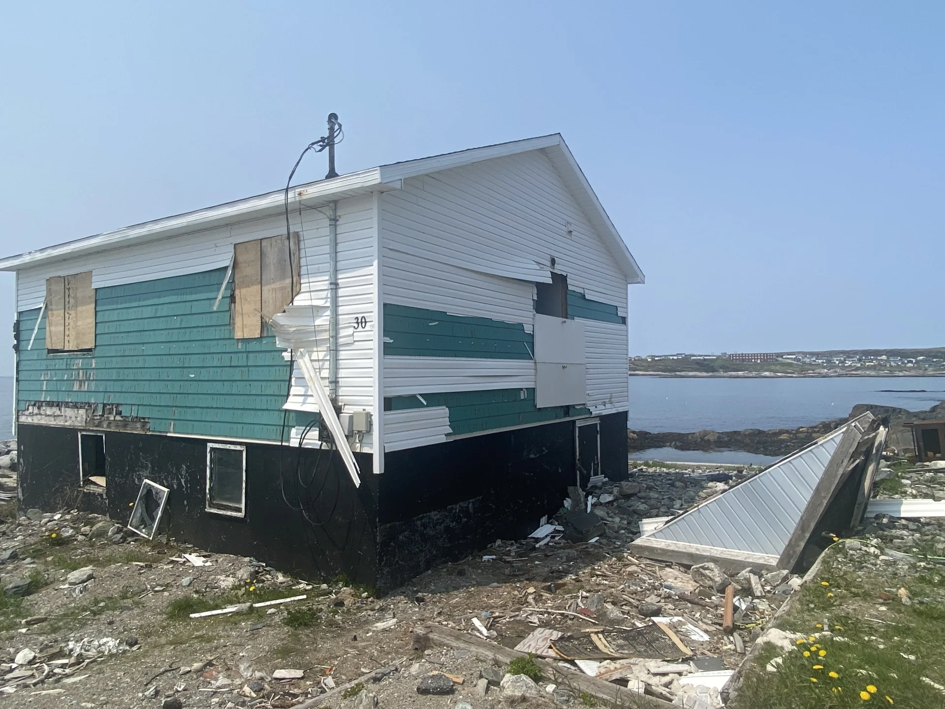
Port Aux Basques, Nfld., continues to recover from Fiona to this day. There, a storm surge caused hundreds of homes to be condemned, and one resident lost her life after being swept out to sea from her home.
RELATED: Post-Fiona rebuild continues with climate crisis in mind in Newfoundland
So, why did southwestern Newfoundland bear the brunt of the storm?
All along Hurricane Fiona's eastern section, or right side of the storm, the fetch for creating waves led right into Port aux Basques. It was clearly a worst-case scenario for the community that one can only hope happens once in a lifetime.
SEE ALSO: Experts predict 'above-normal' Atlantic hurricane season
With the storm track clearly being the main issue, The Weather Network reached out to Natural Resources Canada’s Jordan Eamer to find out how the bathymetry, or "depth of the water", along the hardest-hit areas may have also played a role in the amount of devastation caused by the waves.
"There's a lot of good bathymetry data along that coast," he said. "The coastline is very steep, and offshore, you don’t have a gradual approach...it’s very deep [near] offshore. The wave energy is just maintained—basically all the way until you reach the shoreline."

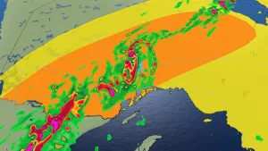
This is an example of a bathymetry map of East Flower Garden Bank (NOAA)
Eamer says the depth so close to shore allows wave energy to reach the coastline without attenuating as much as it would along places like Nova Scotia’s Atlantic coast.
"It’s almost like you want to call it a funnel where there’s this deep channel that leads to some of the more impacted areas of the community," said Eamer.
Much of the debris has now been cleared from the coastal areas and it is unlikely homes will ever be allowed to be built there again, despite their ability to survive so many harsh storms in the past.
All residents can do now is hope conditions don’t align in the same way should another hurricane approach this season.