Alberto kicks off the Atlantic hurricane season as first named storm

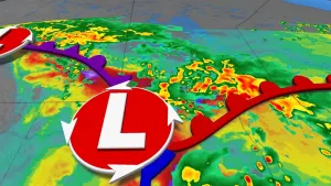
Alberto is currently moving over the western Gulf of Mexico and is anticipated to bring heavy rains, coastal flooding and blustery winds along the coasts of Texas and northeastern Mexico through Thursday.
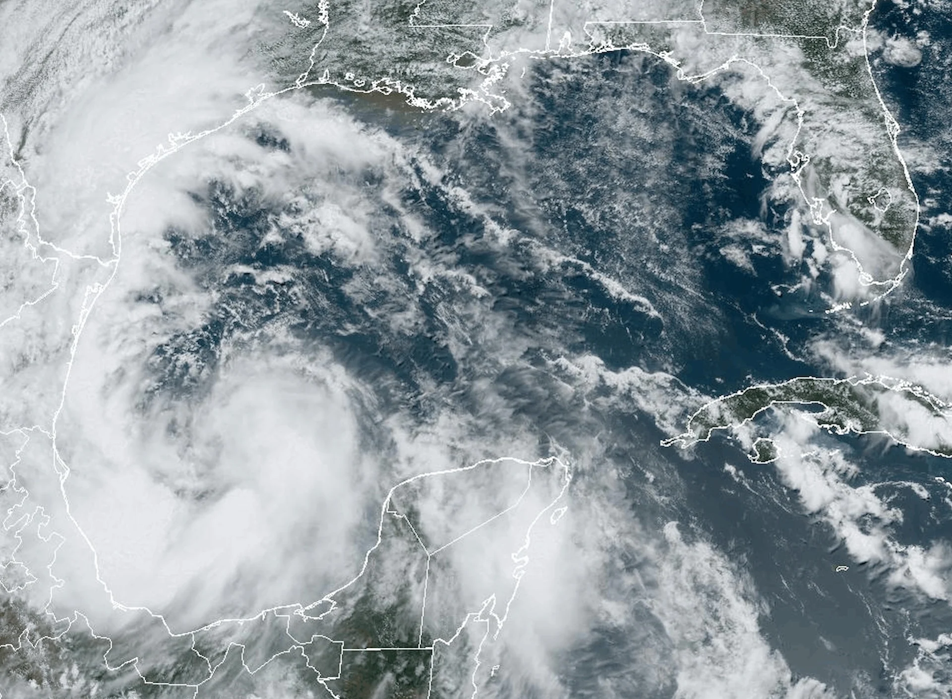
The Atlantic basin has its first named storm of the season with the arrival of Alberto on Wednesday, kicking off what forecasters expect to be a very busy year.
Alberto is currently moving over the western Gulf of Mexico and is anticipated to bring heavy rains, coastal flooding, and gusty winds along the coasts of Texas and northeastern Mexico through Thursday.
RELATED: The Atlantic Ocean’s high fever could fuel an ugly hurricane season
As of Wednesday at 2 p.m. EDT, Alberto has maximum, sustained winds of 65 km/h and is situated about 290 kilometre east of Tampico, Mexico, and 475 kilometres south-southeast of Brownsville, Texas, according to the National Hurricane Center (NHC).
Tropical storm warnings are in effect along portions of the Mexico and Texas coastlines.
Alberto is currently moving toward the west at near 15 km/h. A westward motion with an increase in forward speed is expected through Thursday. On the forecast track, the centre of Alberto will reach the coast of northeastern Mexico early Thursday morning.
Some slight strengthening is forecast today or tonight before the centre of Alberto reaches land. Rapid weakening is expected once the centre moves inland, and Alberto is likely to dissipate over Mexico Thursday or Thursday night.

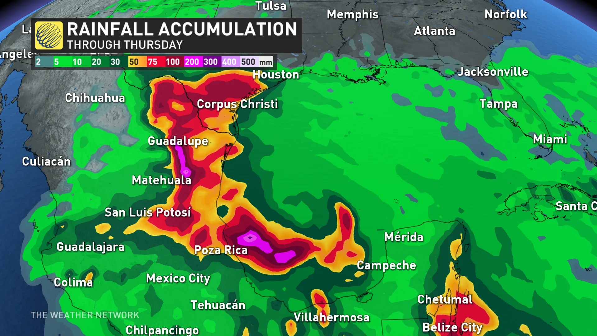
Tropical Storm Alberto is expected to produce rainfall totals of 125 millimetres to 250 millimetres across northeast Mexico into southern Texas. Maximum totals around 500 millimetres are possible across the higher terrain of the Mexican states of Coahuila, Nuevo Leon, and Tamaulipas.
The rainfall will likely produce considerable flash and urban flooding along with new and renewed river flooding. Mudslides are also possible in areas of higher terrain across northeast Mexico.
The storm surge could soar as high as 1.21 metres along parts of the Texas coastline, if the peak surge occurs at the time of high tide.
The storm surge will raise water levels by as much as 0.30 metres to 0.91 metres above normal tide levels along the immediate coast of northeastern Mexico, in areas of onshore winds north of where the centre makes landfall. Near the coast, the surge will be accompanied by large and destructive waves.
Very active season forecast
Colorado State University’s initial outlook for 2024 called for about 23 named tropical storms, including 11 hurricanes and five major hurricanes.
A normal hurricane season in the Atlantic Ocean produces about 14 named tropical storms. Seven of those named storms typically grow into hurricanes, three of which strengthen into major hurricanes with winds of about 180 km/h or stronger.
If the prediction comes to pass, this would make for one of the most active Atlantic hurricane seasons ever observed behind 2020, 2005, and 2021.
Thumbnail courtesy of NOAA.
With files from Nathan Howes and Dennis Mersereau, digital journalists at The Weather Network.