B.C. bids farewell to dry conditions as pattern flip brings rain, storm risk
B.C. has already seen more than its monthly average rainfall this month, and now up to 30 mm of more rain is on deck for some to end off June
After more than a week of no rain in Vancouver, B.C., that's all about to change come mid-week.
A Pacific system will track across the province through Thursday, ushering in cooler-than-normal temperatures and delivering widespread showers across the province, with embedded thunderstorms.
MUST SEE: Cross-country low rains on all provinces ahead of Canada Day long weekend
Some areas in the northeast could see more than 50 mm of rainfall by the time the end of the week arrives.
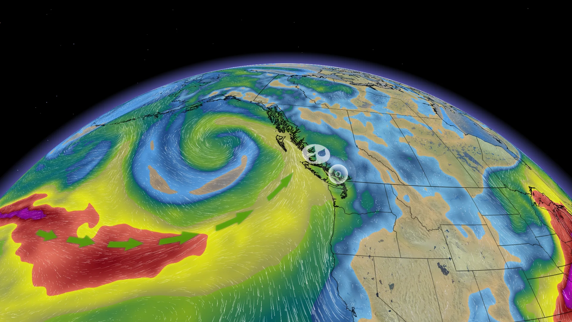
This week: Pattern switch sees more unsettled weather heading to B.C.
Widespread rainfall and isolated thunderstorms are incoming to B.C. this week after a period of dry conditions.
As well, temperatures will take a bit of a dive.
By Thursday, temperatures will be near 5°C colder than what's typical for late June. Vancouver will be hovering near 17°C under clouds and rainfall.

Rainfall will spreads from western Vancouver Island inland through Wednesday.
The instability and moisture will then stall over central areas of B.C. with wraparound showers, which could be heavy at times on Thursday. Both days may feature be enough instability for a passing thunderstorm, particularly in the Interior.
The heaviest rain is expected in the west-end of Vancouver Island, central B.C. and Interior, with 20-30 mm forecast over the two days. Showers will be off and on for the South Coast, so expect a rain-shadow affect in Victoria and Tsawwassen, B.C. Those communities will see the least amount of rain.

It looks like the northeastern corner of B.C. could see as much as 30-50+ mm of rainfall as the low stalls and precipitates out, spilling a range of 50-75 mm into Alberta.
Conditions look to clear up to kick-start the Canada Day long weekend, but the fair skies may not last.
Looking ahead beyond the holiday, near-seasonal temperatures are anticipated for the first week of July with scattered to numerous showers and thunderstorms most days across the Interior. A drier pattern is expected near the coast, but there will still be a risk for scattered showers and thunderstorms.
No sustained heat is in sight.
Stay tuned to The Weather Network for the latest forecast updates for B.C.
With files from Rachel Modestino, a meteorologist at The Weather Network.