BC: November-like pattern makes for unusual rainy days

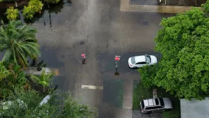
The extra rain may be bad for the beach, but it's been good news so far for wildfire season.
It's been good news - bad news for British Columbia so far this July. The good news? So far 2019's wildfire season has paled in comparison to the infernos that marked 2018. The bad news? That's in large part due to the November-like pattern that's marked the early summer.
Summer revealed! Visit our Complete Guide to Summer 2019 for an in-depth look at the Summer Forecast, tips to plan for it and much more
WEATHER HIGHLIGHTS:
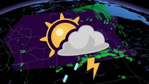
Rain moves into BC coast through early Wednesday
Heavy (for July) rainfall totals expected for Vancouver Island, South Coast
Wildfire season so far has burned much less territory than previous years
Above-average fire season still expected for Van. Island, South Coast, Northwest
WATCH BELOW: RAINY DAYS SOAK B.C. COAST
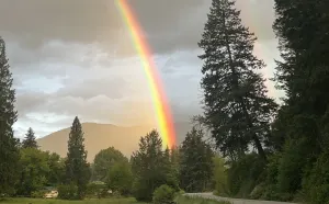
JULY'S GREY, SHOWERY SKIES
This latest bout of unsettled weather comes courtesy of an unusually-strong low pressure system swinging north into the coast from the Pacific. The south-to-north track of the low means there's a much better than average chance for rain along the eastern side of Vancouver Island, including typically-dry Victoria.

Parts of the South Coast will also see a healthy helping of rain through Wednesday thanks to this storm, with as much as 50 mm expected near Squamish. That would be nearly the entire amount the town sees in a typical July. Victoria has recorded 12.7 mm so far this month already; this round of rain may leave them about 5 mm ahead of the typical July total (17.9 mm), with two-thirds of the month to go.
Rain will taper to showers on Thursday, but with the low pressure centre hovering just offshore and another, weaker system on its way for late week, a long stretch of sunny days doesn't seem to be in the cards for southwestern B.C.
WET EARLY SUMMER KEEPING A LID ON FIRE SEASON?
While 2019's wildfire season hasn't been entirely quiet, with 474 fires reported thus far for British Columbia, there's no question the wetter-than-average pattern that marked much of the late spring and early summer over much of the province has helped keep fires down to a dull roar -- at least, when compared with the last few years' record-smashing conditions.
"The number of wildfires so far for this time of year are near-normal," says the BC Wildfire Service, "however, the number of hectares burned (11,294 ha) is only a fraction of what we've experienced in the past at this stage in the season."

The service expects a near-normal year for much of the province, with two major exceptions. One, over the already-active northwest -- the only part of the province still running with drier-than-average conditions, and Vancouver Island and the South Coast.
Sources: BC Wildfire Service |