Winter will attempt to make up for lost time during February across Canada

Western Canada is in for a frigid February, while the east can expect a stormy and changeable weather pattern
After a mild start, winter finally stepped onto the field during late January, bringing more typical winter weather across Western and Central Canada. But now the questions remain whether or not it will stick around, spread further east, or if we can expect a return of the more mild temperatures that have dominated winter so far. Please read on for a look ahead at what we can expect for the month of February.
Before we jump ahead, we’d first like to provide a quick review of the month of January.
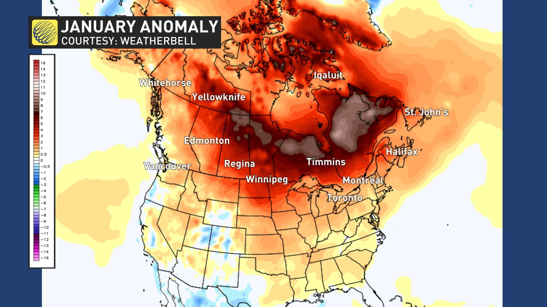
The month as a whole was much like December, with above normal temperatures across nearly all of Canada. The map below is a temperature anomaly map for the entire month of January and the various shades of orange and red highlight above-normal temperatures across much of North America.
However, we did see a major pattern change during late January. This brought a period of much colder weather from British Columbia to southern Quebec. The map shows temperatures compared to normal for the final week of January, and the various shades of blue and green highlight the return of colder-than-normal weather as traditional winter weather finally arrived.

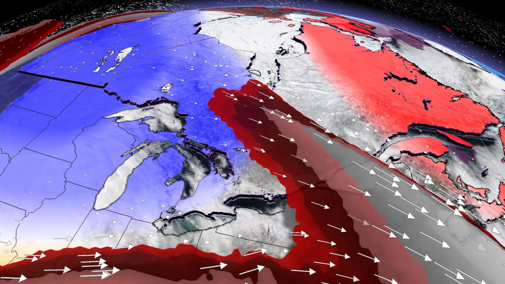
A similar pattern is expected across Canada during early February. A few more rounds of frigid Arctic air will plunge south across the West. Meanwhile, milder air from the southeastern United States will briefly surge north into parts of Ontario, Quebec, and Atlantic Canada. The clash of air masses will result in a rather active pattern across the eastern half of the country.
However, the milder weather will not stick around very long as Arctic air will quickly blast back into Ontario and Quebec, bringing the coldest weather of the season as we start the second week of February.
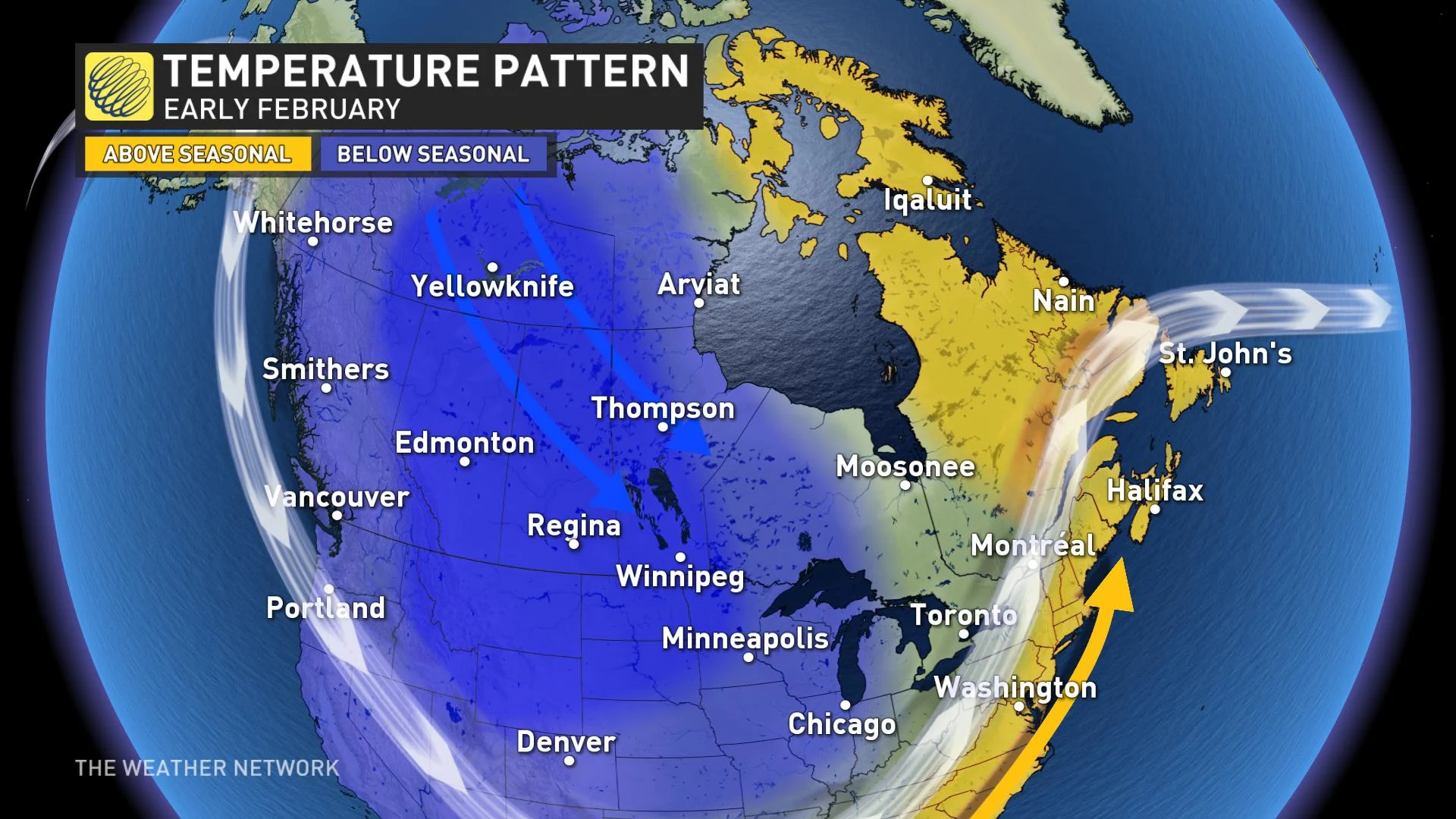
This weekend and into the second week of February looks especially frigid across the Prairies. A cool and drier pattern is expected for British Columbia.
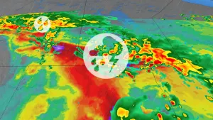
Meanwhile above seasonal temperatures should continue to dominate across Atlantic Canada with quick shots of arctic air. However, the first few days of February serve as strong reminder of the fact that high impact and messy winter storms can still occur within a mild pattern during the coldest time of the year.
As we head through mid-February, we expect that the core of the coldest Arctic air will remain across the Prairies, but it will continue to spread east at times into Ontario and Quebec. The active storm track should continue to be near or just south of the international border, bringing a heightened potential for high-impact winter storms for parts of the region.

While much of Atlantic Canada should remain on the mild side of seasonal, colder weather will extend into the Maritimes at times, and we should also see an active pattern across this region.
This overall pattern should continue into late February. There are some indications, however, that before the end of the month, the Arctic air will pull back to just Western Canada, and milder weather will return to Ontario and Quebec, but it is too early to know whether that will be during the final week of February, or if it will hold off until March.
After a very stormy December and January across British Columbia February should bring a less active pattern to the region. However, with colder than normal temperatures expected, we do have a heightened potential for significant snowfall all the way to the coastal areas.
In summary, while the anticipated winter pattern was very late in getting set-up across Western Canada, it appears winter will attempt to make up for lost time during February and even into March. For the Great Lakes and Quebec, winter has played out as expected through January with above seasonal temperatures, but it now appears that February will end up colder than initially expected. Atlantic Canada should continue to have a lack of consistent frigid weather, but February should help to cut into the snow deficits across the region.
Be sure to check back regularly as we continue to monitor the forecast and bring you the latest updates.