El Niño and the polar vortex take centre stage for winter’s final chapter

Get ready, Canada! February is here and we're eager to share what this month has in store for us. Will we continue to enjoy mild weather? Or, is it time for frigid temperatures and heavy snowfall to make a comeback? Find out in our detailed monthly outlook, below!
Hello, spring, is that you already?
Late January is often the coldest time of year across much of Canada. But not this year!
The end of January actually featured spring-like weather across Western and Central Canada, and even a hint of early summer in a few places.
Yes, I really said early summer! Here are a couple of mind-boggling examples. During the late evening in Abbotsford, B.C., the temperature was a record-shattering 18.2°C on Jan. 29! And Maple Creek, Sask., soared to 21.1°C on Jan. 30! That is their normal high at the end of May!
So, is winter really over?
Well, this is Canada, and we are just starting the month of February. Those two facts alone should answer the question and tell you that winter is not finished with us just yet. After all, most Canadians are all too familiar with seeing snow well into April and even in May.
However, for the next two weeks, it will continue to feel like early spring in many areas, with temperatures more typical of March. This is a pattern that we often see during El Niño winters.

DON'T MISS: Global ocean record snowballs into 2024, major hurricane impacts looming
The one change from the late January pattern is that the focus of the mild weather will shift farther east.
Eastern Canada was the region that saw some typical winter weather in late January, but milder weather will arrive in early February.
Meanwhile, frigid weather over Alaska will spread east into the Yukon and Northwest Territories, while B.C. and Alberta will trend back to near seasonal.
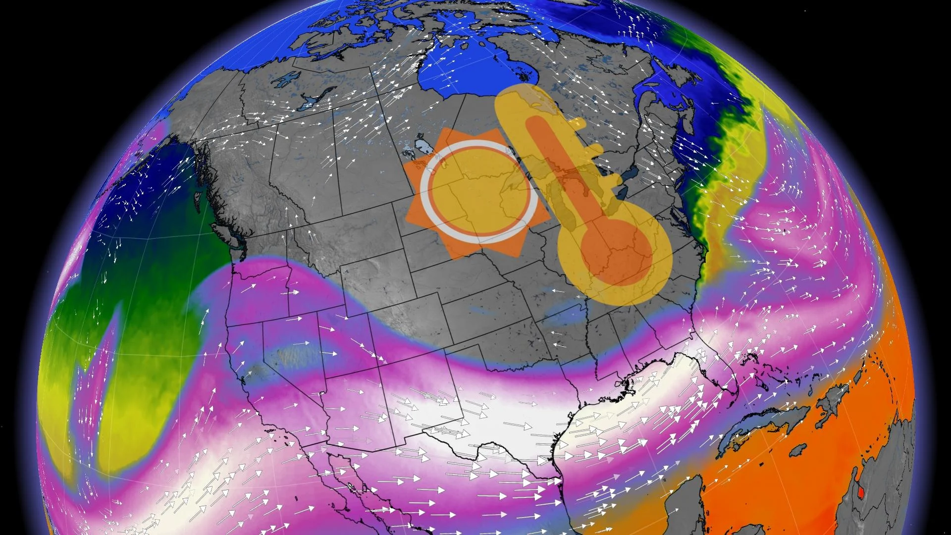
However, during mid-February, we expect a major pattern change to unfold across the eastern half of Canada. The exact timing is still uncertain, and there will be a period of transition, but below is a look at the pattern that we expect will lock into place for the final 10 days of February.
When classic Canadian winter weather showed up in mid-January, the focus of the severe cold was across Western Canada. However, when winter "re-emerges" this month, the focus of its fury should be across Eastern Canada (Ontario, Quebec and Atlantic Canada), the region that got off relatively easily during January.
Temperatures will not be as cold as what we saw across the Prairies during mid-January, but we expect that a blocking pattern and the position of the polar vortex will cause the colder pattern to linger longer, potentially lasting through early March.
EXPLAINER: What is the polar vortex? How it’s responsible for dangerous cold
An active storm track across the southern U.S. and then up the U.S. East Coast should bring substantial snow at times to Atlantic Canada for the conclusion of winter. However, Ontario and Quebec will often be missed by storms tracking to the south and east of the region.
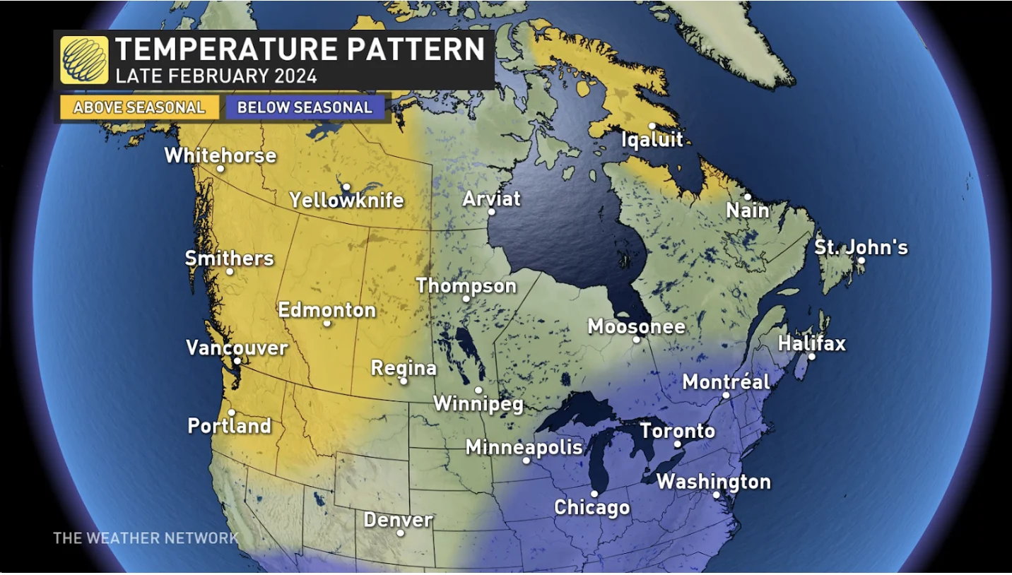
Meanwhile, late February across Western Canada will feature the mild and dry pattern that we often see during El Niño winters. Quick shots of Arctic air are still expected for Alberta and Saskatchewan, but above-seasonal temperatures should dominate during late February and early March.
So as we head into the month of February, the worst of this relatively short and mild winter is already behind you in Western Canada, while from Ontario to Atlantic Canada, winter’s final chapter could prove to be a rather lengthy one.