Canada’s first -40 reading a harbinger of a frigid week to come

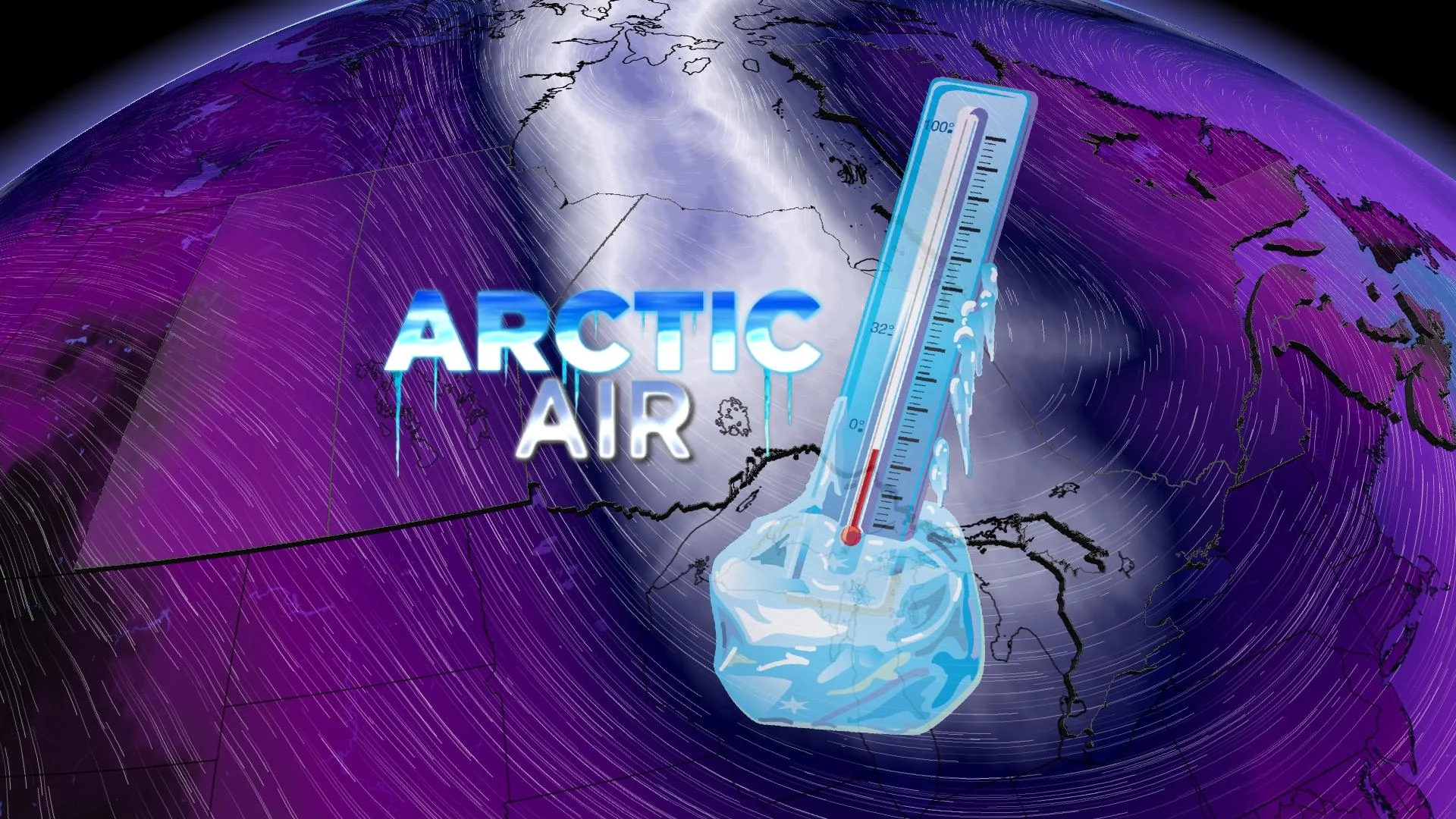
A quick slug of Arctic air will dive all the way down to the Gulf of Mexico this week, bringing frosty temperatures from Ontario to Nova Scotia this week
Get ready for the coldest air of the season to descend on the eastern half of Canada heading into next week.
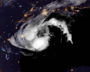
The deep freeze is already gearing up across far Northern Canada, where some areas in Nunavut dove into the -40s behind an epic blizzard that blanketed the territory this week.
Cold air will stretch all the way from the Arctic to the Gulf of Mexico by early next week, bringing most folks across Ontario, Quebec, and the Maritimes their coldest air of the season.
DON’T MISS: Beware the witches of November howling over the Great Lakes
Central and Eastern Canada’s impending spell of brisk air will arrive courtesy of the polar vortex. It’s a term enough to send a chill down the spine of even the hardiest winter fan, but it’s only acquired that certain spice in the past decade.
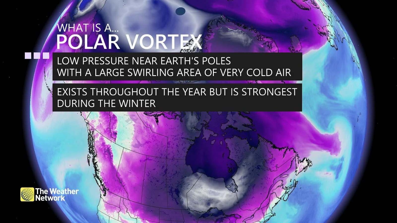
The polar vortex is a large-scale circulation that wraps around the Arctic during the cold season. It weakens in the summer and strengthens in the winter. Winter’s coldest air stays confined to the far northern latitudes when the polar vortex is smooth and stable. When it’s thrown off-balance, though, very cold air can spill south as troughs dive toward lower latitudes.
Our impending cold spell is the result of a sharp trough—sometimes called a ‘lobe’ of the polar vortex—digging down out of the Arctic. The coldest conditions won’t last but a couple of days at most, but it’ll get quite frosty for millions of Canadians.
Nunavut just endured a multi-day blizzard that saw multiple communities record their strongest winds ever measured during the month of November. Blizzard conditions lasted for more than 24 hours straight in some areas, leading to power outages and cancellations.
RELATED: Blizzard shuts down Nunavut's Kivalliq region, cuts power in Arviat

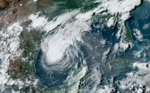
Remnants of that wicked blizzard will soon reintensify near Baffin Island as that lobe of the polar vortex dips over the region, with the system set to move back over Hudson Bay.
This setup, combined with a steep ridge of high pressure over Western Canada, will open up the gates to allow frigid Arctic air to spill south across the eastern half of the country.
We’re already seeing the deep freeze seep into Manitoba, where widespread temperatures stuck in the -10s and -20s are in the forecast for Monday.
Temperatures will fall well below seasonal from northern Ontario all the way down to the Gulf of Mexico by Tuesday, with readings more than 10 degrees where they should be for the final half of November.

Tuesday looks like it’ll go down as Toronto’s first subfreezing day of the season, with a high temperature in the city remaining just below the zero-degree mark.
A burst of cold air in the heart of fall is a recipe for significant lake-effect snow across the Great Lakes. Frigid temperatures with water temperatures hovering around 8-10°C will give rise to potent snow squalls across parts of southern Ontario, which could bring 15+ cm of accumulation to the traditional snowbelts by the middle of the week.
GET THE LATEST: Bursts of snow, frigid air for Ontario to close out November

The risk for lake-effect snow will also provide a bit of give-and-take, as it turns out. The warmer lakes will also blunt the approaching Arctic air for southern Ontario, while folks across central and eastern Ontario, as well as southern Quebec, take the full brunt of the chill with Wednesday night’s lows dipping firmly into the negative teens.
Chilly air will spread over the Maritimes by Wednesday. Forecasters will keep an eye on the daytime high in Halifax, where there’s a chance the city may also notch its first subfreezing day of the season.
It’s not a sustained blast of frigid weather, at least. The trough responsible for the cold won’t stick around but for a couple of days. Seasonal to even slightly above-seasonal warmth will return to Ontario, Quebec, and the Maritimes by the end of the week.
Be sure to check back for the release of The Weather Network’s winter forecast on Wednesday, November 29, to find out what you can expect in the season ahead.