Severe storm risk persists on the Prairies, with large hail possible

The thunderstorm threat hangs on in Western Canada Friday, severe potential in the southern areas of the Prairies, while lightning could spark more wildfires in B.C.
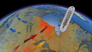
It's been a stormy week across the Prairies, with more than one tornado warning here and there. Heading into the weekend, calmer conditions aren't quite in evidence, with Alberta hosting most of Saturday's storm risk. Meanwhile, heat warnings blanket much of the region, though some beneficient rains are in the longer-range forecast. For a look ahead, see below.
SATURDAY: HEAT LOCKS IN AND SHIFTS, SEVERE THUNDERSTORM RISK FOR SOME
With the heat warnings in place, a very hot and mostly dry weekend is expected on the Prairies. On Saturday, the heat gets cranked up a bit, with daytime highs reaching the low- to mid-30s across the region. This will further worsen drought conditions for the southern Prairies, especially Manitoba.

DON'T MISS: Potentially life-saving lightning safety tips
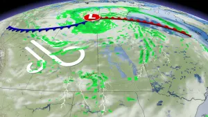
Because of the ongoing atmospheric energy available, and a low-pressure system sweeping through, the threat for showers and thunderstorms moves northward into central and northern B.C., and central northern Alberta, as well as northern Saskatchewan on Saturday.
The potential for severe storms will be mainly focused in central and northern Alberta, though it does extend south into Calgary and west into parts of B.C. The main hazards will be heavy rain, strong wind gusts and large hail.
BEYOND: POTENTIAL FOR SEVERE WEATHER SUNDAY, SOAKING RAINS ON PRAIRIES, RELIEF IN B.C.
There will also be some temporary relief from the heat late next week and weekend for central and northern B.C., as well as coastal areas, due to an upper-level low that will bring in cooler temperatures, but remaining warm for the southern Interior.
"A very warm and dry pattern is then expected to resume for the rest of July, which is extremely concerning given that the wildfire count has already climbed over 200," adds Dr. Doug Gillham, another meteorologist at The Weather Network.

On the Prairies, Western Alberta will trend cooler on Sunday, while the severe thunderstorm threat risk will shift south including Calgary for late Sunday. The risk for severe storms will also encompass much of Saskatchewan and Manitoba. The potential will then spread east across the southern Prairies Monday and Tuesday, bringing the potential for beneficial rain for parts of the region.
Manitoba could finally see some much-needed rain on Tuesday, but not nearly as much or as widespread as what it needs. Above seasonal temperatures will dominate next week.
Be sure to check back for the latest weather conditions across Western Canada.
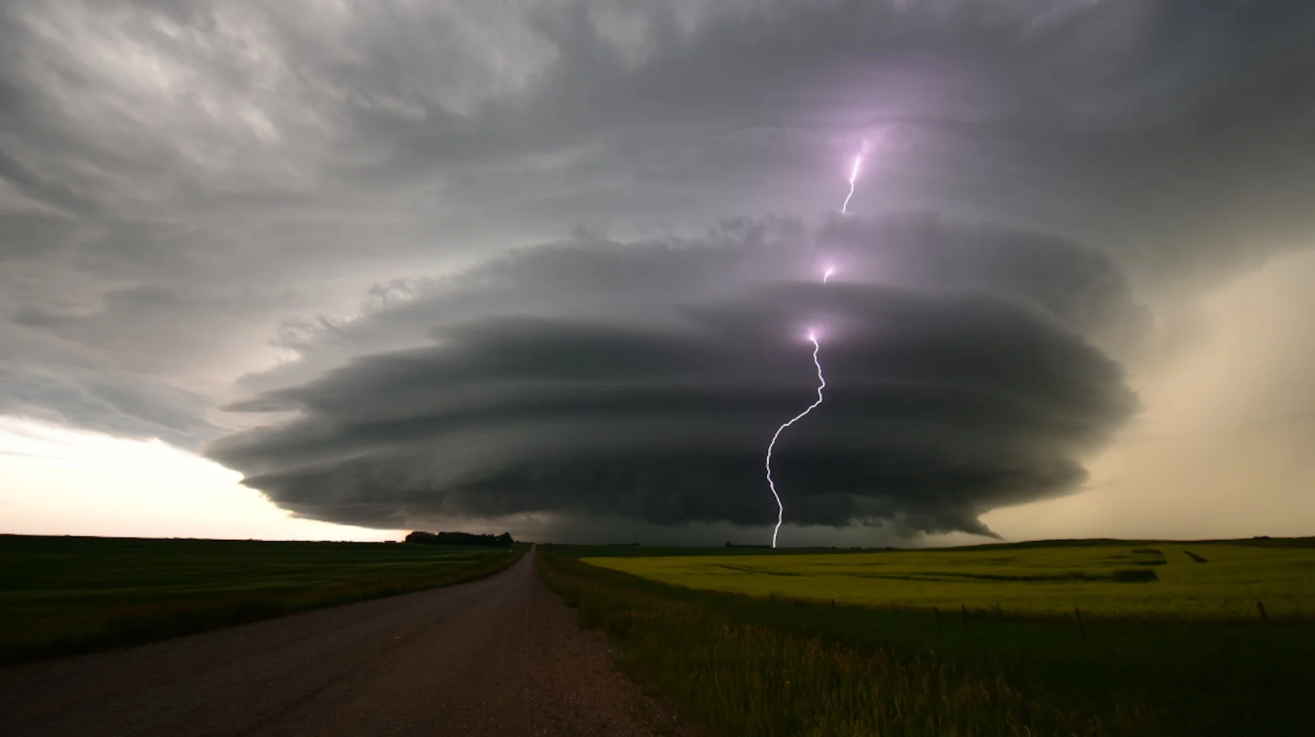
Thumbnail courtesy of Notanee Bourassa, taken in Chamberlain, Sask.