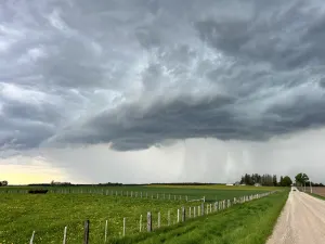
Don't be fooled by Canada's gentle start to fall, storms are on the way

An expansive area of high pressure has blocked storms from tracking into Canada, but models indicate that turbulent weather is en route.
A fall without storms is like Canada without hockey – they're inseparable. Clippers, nor'easters, and Colorado lows are weather all-stars that have lately been missing in action across Canada.
The unusual lack of storms can largely be explained by several features in the atmosphere.
Excluding Baffin Island, the entire country was enveloped by high pressure last week, preventing any storms from tracking into the region.
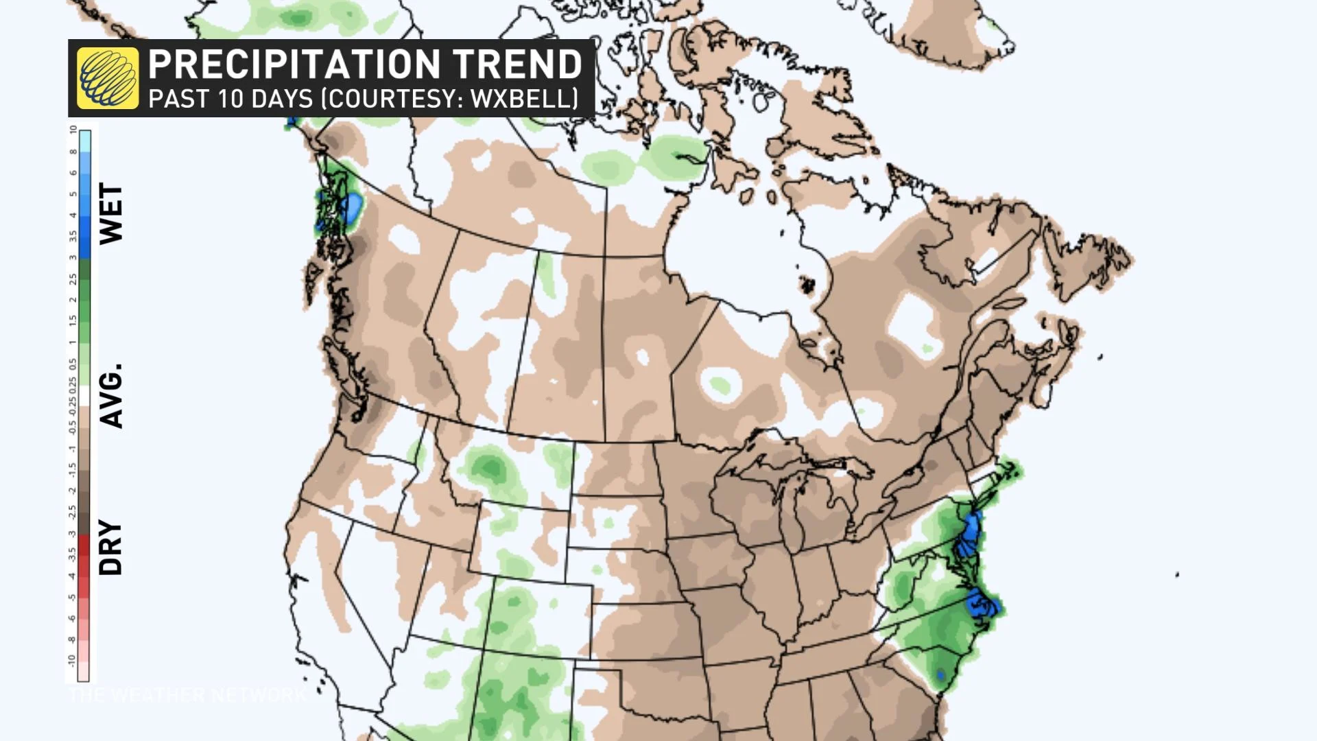
A stark east-west temperature contrast also developed over the past couple of weeks. Canadian fall storms gain their energy and ferocity from differences in temperature. When cold, dense air clashes with moist, hot air from lower latitudes, the result can create a lot of energy to fuel fall storms. This is setting up the potential for turbulent weather to form in the coming days.

If the current pattern was flipped, meaning the colder anomalies were north and warmer anomalies were farther south, we would be seeing plenty of Colorado and Texas lows barrelling toward Central Canada.
Eastern Canada has also been spared by the recent atmosphere conditions. The jet stream has dipped south, bringing cold air with it, but not south enough to cause the cold air to interact with the unusually warm sea surface temperatures in the Gulf Stream. Thankfully, no powerful storms are forecast across Atlantic Canada as Fiona's cleanup enters its third week.
A look at the week ahead
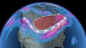
Although we lack the temperature gradients to produce prolific wind makers and deep areas of low pressure, the jet stream is particularly wavy for this time of year, which means that a classic fall storm could soon be afoot.
A strong southerly flow brings with it the threat of heavy rain across portions of Ontario and Quebec later this week, siphoning up some moisture from the Gulf Stream. This could be some of the most turbulent weather that this region has seen in several weeks.
See also: How to restore and protect your lawn through winter after a drought
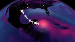
The Prairies' first attempt at a clipper will occur this week. Intense gusty northwest winds behind the front might reach speeds up to 80 km/h through Wednesday across the central Prairies before it tracks north over Hudson Bay. Cities like Regina and Saskatoon will likely gust over 70 km/h through Wednesday. Alberta and Manitoba will see slower wind speeds, but will certainly feel the drop in temperatures by Tuesday.
On Monday, a low over the Northwest Territories is uncharacteristically strong, with pressure below 980 mb. That low is tapping into the record-breaking heat that spread up towards Norman Wells, with some chillier temperatures near Alaska giving the storm some added kick.
We're still patiently awaiting the fall rains across B.C., as the current storm track is aimed far north towards Alaska.
It's still early days for fall storms, but we'll be on guard for a stormier pattern to form over the next several weeks. Stayed tuned to The Weather Network for the latest developments.