Icy conditions set to complicate travel in northern Ontario
A late-April system will bring winter-like weather to parts of northern Ontario as we kick off the new week
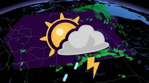
Wintry weather is making a comeback in parts of northern Ontario as a new low-pressure system rounds out April with snow, freezing rain and ice.
Special weather statements are in place to urge residents and travellers to prepare for potential highway slowdowns and power outages due to ice buildup.
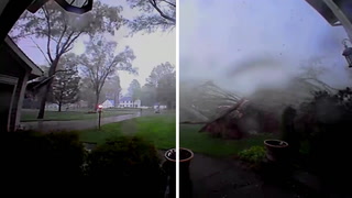
PHOTOS: Highway camera captures stunning tornado on the horizon
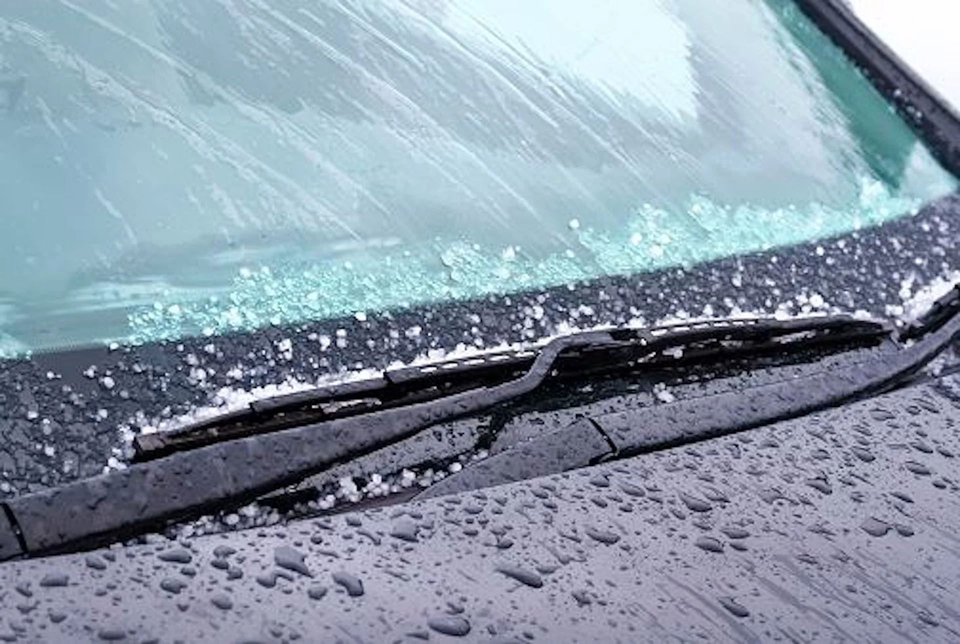
Freezing rain may make roads, bridges, and sidewalks slippery. Slippery conditions are possible in areas that see snow or mixed precipitation, so brace for slower commutes throughout the region.
Icy conditions possible into Monday
Another low-pressure system will affect the region into the day Monday. This new storm will have more cold air to work with as it pushes into northern Ontario.

Rain will begin Monday morning across northern Ontario, quickly changing over to mixed precipitation for communities north of Thunder Bay. The changeover will arrive for the Lake Superior shores through the afternoon.
We’ll see rain transition to snow farther north across portions of northwestern Ontario by Monday morning.
MUST SEE: Top five ways human-caused wildfires start

A period of freezing rain is possible between Timmins and Sudbury and areas northeast through Monday morning. Rising temperatures will force a changeover to rain here by the late afternoon hours.
Temperatures in the north and northwest will hover right around the freezing mark, making it difficult to know if precipitation will remain freezing rain or change back over to plain old rain.

Some areas could see up to 5 mm of ice accretion, while others that see snow could accumulate 5-15 cm.
Communities that see prolonged freezing rain or snow will have to contend with slippery roads, bridges, and sidewalks on Monday morning. Allow for extra time heading to work or school on Monday.
Conditions should improve as the storm exits the region Monday night and Tuesday morning.
Header image courtesy of Getty Images.
Stay with The Weather Network for all the latest on your forecast across northern Ontario.