Find out what typhoon remnants mean for Canada this week
Typhoon remnants rippling the jet stream will have an effect on Canada's weather in the coming days.
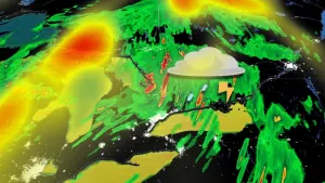
The remnants of Typhoon Bolaven have tracked across the Pacific Ocean and they're not stopping there. Canada will see numerous impacts from the former typhoon this week, with the first stop in B.C.
DON'T MISS: A ‘historically strong’ El Niño is possible heading into winter
West
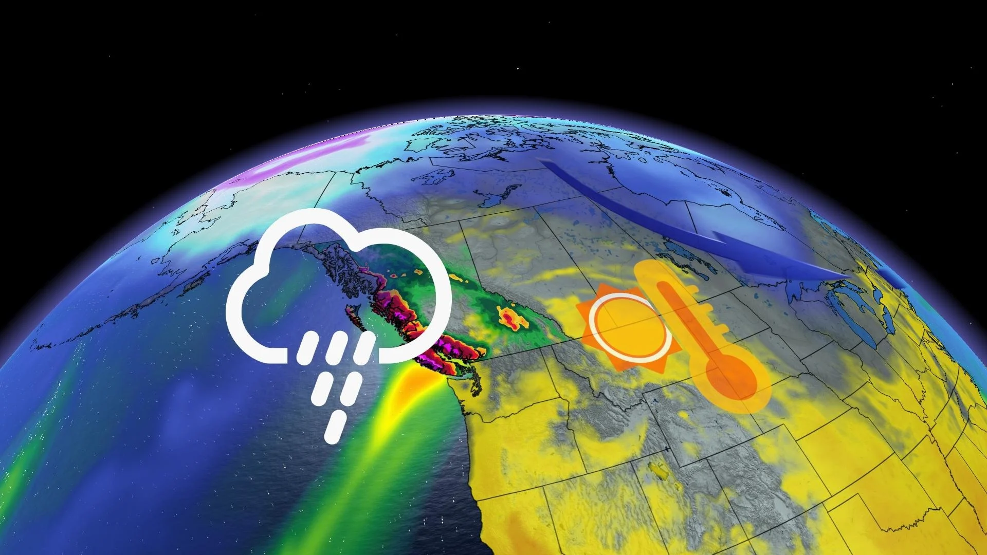
B.C. will be impacted through Wednesday, with a strong atmospheric river in the south and a powerful fall storm in the north. Vancouver Island may be swamped in persistent heavy rain, up to 300 mm, with half of that expected in the Sunshine Coast.

By the end of the work week, the coast and Rocky Mountains will have removed the majority of the moisture, meaning the Prairies will be next for impacts. Descending air into Alberta will be warm and gusty, so expect temperatures to be 10°C above normal by the end of the week across much of the province.
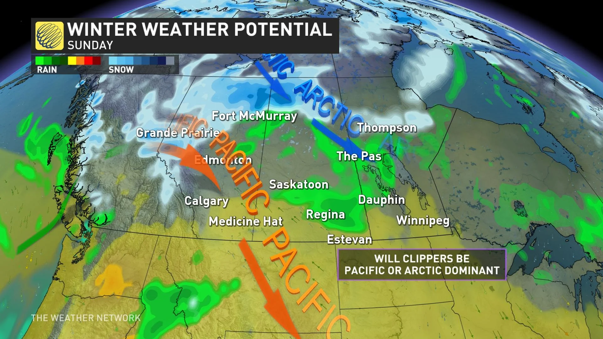
But by the weekend, the whole pattern will shift. A ripple in the jet stream will allow a storm track to open, favouring Prairie clipper systems. Eventually, one clipper will open a channel for colder air to outbreak the Prairie provinces.
The boundary of this temperature change may result in a Prairie snowfall risk, but there remains uncertainty if the Pacific or Arctic air will win the battle.
Visit our Complete Guide to Fall 2023 for an in-depth look at the Fall Forecast, tips to plan for it and much more!
East
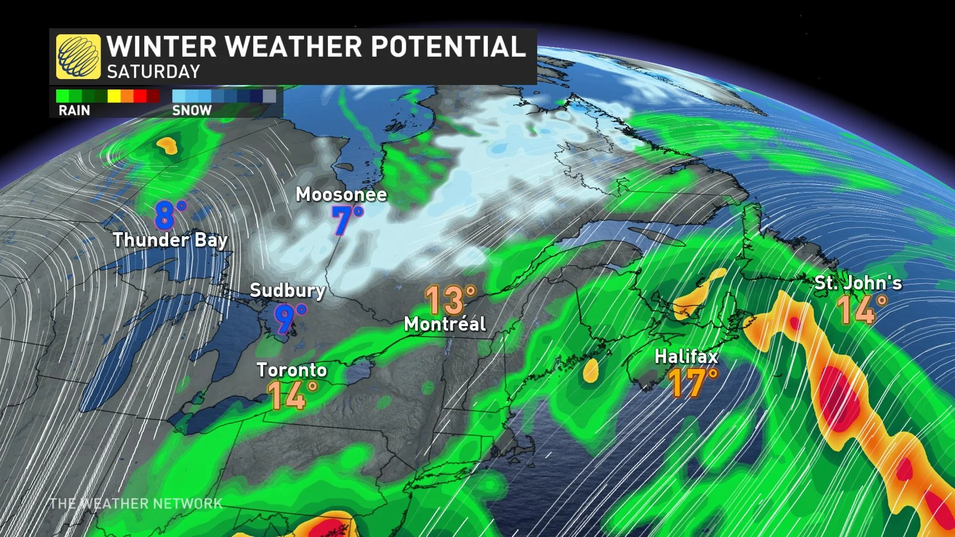
Until the typhoon remnants arrive, clippers tracking across the Great Lakes will settle into the stubborn trough over Ontario. The result is yet another unsettled and cooler weekend for Ontario and Quebec.
On the leading edge of the trough, Atlantic Canada will reap the warmth benefits of the southerly flow. However, a couple coastal lows will certainly overwhelm the benefit of any warmth potential.
Next week, the typhoon's cold air outbreak in the West will eventually spread east, packing more of a chill this time around. Being so far out, even more uncertainty exists concerning how much Arctic air will penetrate south.
However, there is a risk for lake-effect precipitation or a quick shot of snow continuing into Ontario, especially in the north.
We will continue to track the typhoon remnants and its cross-country tour of Canada.
WATCH: Where does the rain smell really come from?
With files from Rachel Modestino, a meteorologist at The Weather Network.