Renewed storm risk as steady rain pushes into Ontario on Saturday
Expect a soggy start to the long holiday weekend as heavy rain and occasional thunderstorms sweep into Ontario
It’s a gloomy kickoff to the Canada Day long weekend across Ontario as a sluggish system treks over the region.
A storm that brought foul weather to the Prairies earlier this week will make its way into southern and eastern Ontario into the day Saturday. Don't be surprised to see some showers and hear a few rumbles of thunder overnight Friday.
SEE IT HERE: Your Canada Day weekend forecast holds a mix of gloom and fantastic days
Multiple rounds of rain could soak Saturday plans
A widespread slug of steady rain will wash over southwestern Ontario on Saturday morning. Multiple rounds of showers and thunderstorms will track behind the morning’s initial rainfall.

Rounds of rain will reach the Greater Toronto Area (GTA) by midday and push into eastern Ontario toward Ottawa by the afternoon hours.
We’ll see the greatest rainfall totals along and south of the 401 corridor, where 20-40 mm of rain is expected by Sunday. This includes London and Niagara Falls. Steady rain could cause pooling on the major highway and reduce visibility at times. Be sure to exercise caution when travelling and drive accordingly.

DON'T MISS: Here's why you'll want to ditch the lake floatie this summer
Rainfall totals will taper off toward cottage country, where 5-20 mm is expected in the gauge through the weekend.
Moving farther north into cottage country, rain totals will begin to taper off, with just 5-20 mm expected through the weekend.

While the thunderstorms tracking behind the rain should remain non-severe, there’s a chance for stronger storms to develop in northeastern Ontario. These storms could produce strong wind gusts and hail.
Some weather models are highlighting the risk for a line of storms developing later in the day along the cold front near Lake Erie. However, it’ll be tough for these storms to turn severe given limited instability over the region.
Sunday will see drier weather across southwestern Ontario and the GTA, although showers will linger a bit longer in the east. We’re looking forward to more tranquil conditions in time for Canada Day celebrations on Monday.
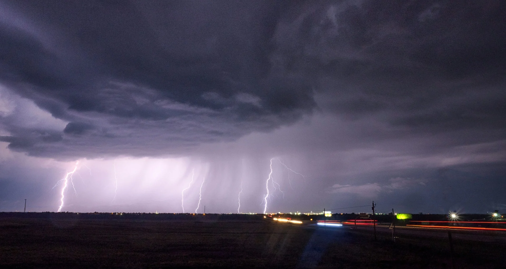
Header image courtesy of Unsplash.
Stay with The Weather Network for the latest on your forecast across Ontario.