Hefty late-season Prairies snow may approach an all-time record
Heavy snow falling on parts of the Prairies may approach a long-standing record for the latest hefty snow this late in the year
Ahh, late May on the Prairies. Flowers are blooming, mosquitoes are buzzing, and there’s a snowfall warning for communities that endured severe thunderstorms just a few days ago.
The current setup is par for the course for an active pattern that’s brought a smattering of unusual weather to folks across North America so far this season.
DON’T MISS: How the tropics help produce big springtime snows on the Prairies
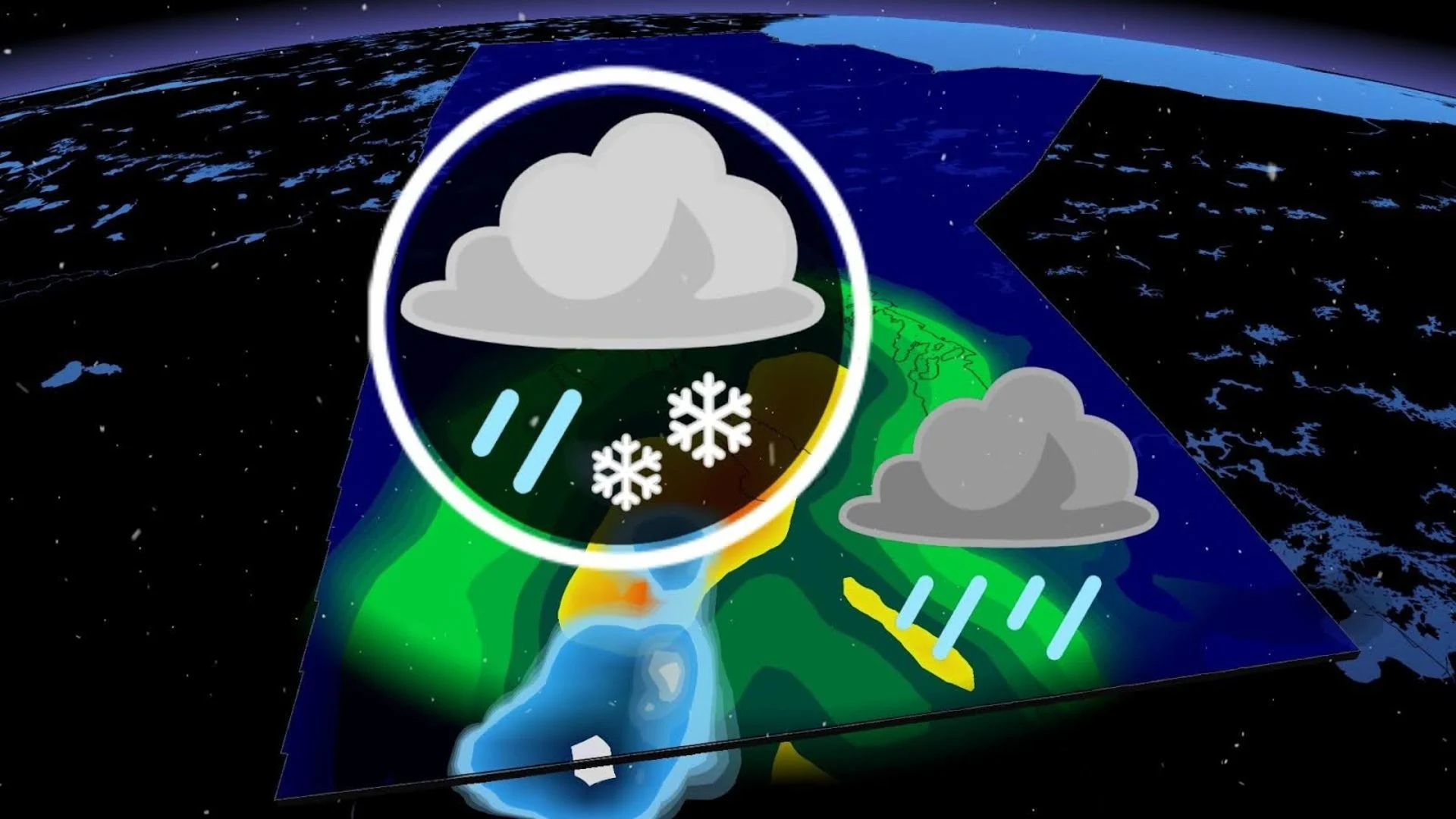
The snow this time around isn’t confined to the farthest stretches of the Dempster Highway. Friday’s event is much farther south indeed, covering a swath of southern Manitoba west of rainy Winnipeg with up to 10-15 cm of snow by Friday night.

Friday’s event could approach an all-time record for the most snow we’ve seen this late in the season. Regardless of precise totals, travel will be difficult for areas receiving this sloppy, wet snowfall.
A potent low-pressure system trekking north of the border is responsible for the sudden burst of unfashionably late winter weather on the eastern Prairies.
This is the same storm responsible for the deadly severe thunderstorms south of the border this week. As we so often see with moisture-laden springtime lows, the northern end of this system is a far colder beast than the muggy southern end of the storm.
A slug of cold air wrapping over the Prairies allowed temperatures to fall right around freezing in southern Manitoba just as ample precipitation began spilling north of the international border.

MUST SEE: Ominous signs for hurricane season as Atlantic swelters, La Niña looms
This drop in temperatures allowed rain to change to snow through the day Friday across southwestern Manitoba around Brandon.
Environment and Climate Change Canada (ECCC) issued a snowfall warning on Friday afternoon to alert residents of the travel hazards they’ll face during the evening commute.
“Rapidly accumulating snow could make travel difficult over some locations,” ECCC said in its warning. “Visibility may be suddenly reduced at times in heavy snow.”
HEADING OUT? Keep up with the latest highway conditions before you go

All told, we could see snowfall totals of 10-15 cm in spots by the time precipitation winds down on Friday night. This will likely lead to travel issues across sections of the Trans-Canada Highway east of Brandon, as well as travel north along Highway 10 toward Dauphin.
A snowfall of this magnitude is a pretty rare event this close to the start of meteorological summer. This is likely to rank among the latest accumulating snows ever recorded in Brandon.
SEE ALSO: What's the temperature 'sweet spot' for swimming in lakes and rivers?
The all-time champion for biggest late-season snow in Brandon belongs to an impressive storm that dropped 15.2 cm on June 3, 1901. That high-snow mark is followed by a couple of centimetres that fell during a chilly final week of May in 1965, with a day in late-May 1992 rounding out the list with 3.4 cm of snow.

It’s likely that the heaviest snow stays just east and north of Brandon, though, likely saving that remarkable 123-year-old record.
Any snow that sticks to the ground is sticking around on borrowed time. Daytime highs will quickly warm into the teens this weekend, with regular highs in the lower 20s making a return by next week.