How a U.S. heat dome could bring severe summer storms to Canada

An active storm track could push severe storms over parts of the Prairies and Great Lakes this summer
Are you prepared for severe weather? You should be ready for threats looming on the horizon any time of the year, but especially as we head into a potentially stormy summer like the one we may see across North America.
Forecasters expect a pattern of heat domes to develop south of the border that could nudge an active storm track over southern parts of Canada through the heart of the summer. This could bring an elevated risk for squall lines with damaging winds as temperatures heat up.
SUMMER 2024: Get an in-depth look at the Summer Forecast, tips to plan for it, and much more!
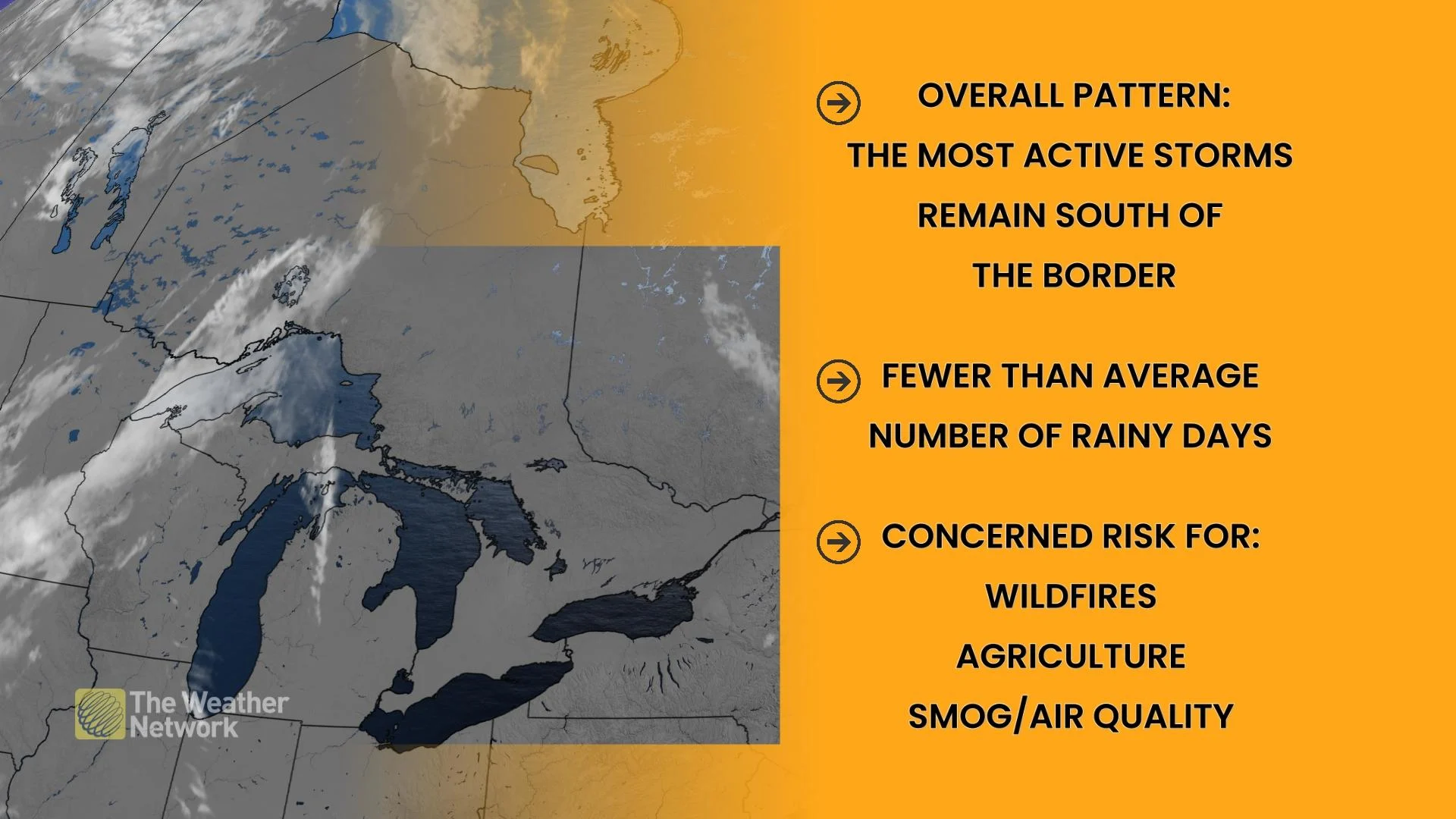
Canada’s most prolific wildfire season on record helped suppress thunderstorms around the country last summer. This season isn't starting off as a repeat of last year…not yet, at least.
Despite the dense smoke’s influence on our daily conditions last summer, we still saw slightly above-normal tornado activity—including one of Alberta’s biggest one-day tornado outbreaks on record.
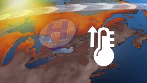
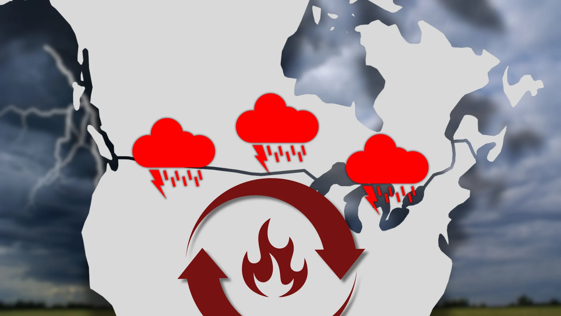
Heat domes could dictate our summer storm tracks
What’s got meteorologists concerned about this season?
It’s a pattern that meteorologists nickname the “Ring of Fire.”
LEARN MORE: What is a derecho?
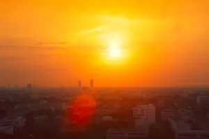
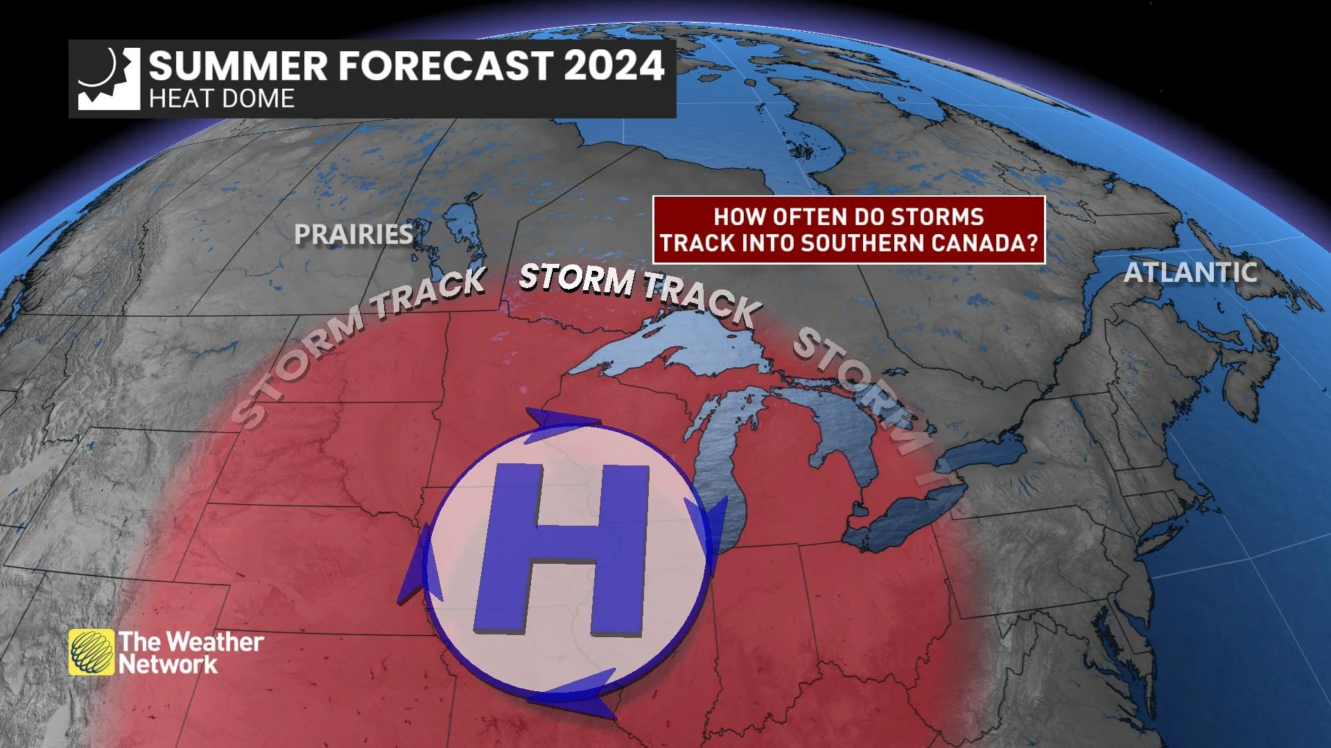
Significant ridges of high pressure over the central United States often turn into brutal heat domes that crank the heat for days and even weeks on end.
It’s tough to come across a drop of liquid relief amid the blistering sunshine beneath the ridge. All approaching disturbances and squall lines deflect around a heat dome, tracking around the ridge’s periphery like train cars following railroad tracks.
This is a common setup for severe weather during the summer months, and it could bring some rough weather to Canada this summer.

DON'T MISS: How to stay safe during a power outage
Forecasters expect heat domes to build over the central U.S. this summer. This is bad news for folks south of the border who might experience intense and prolonged heat through the season ahead.
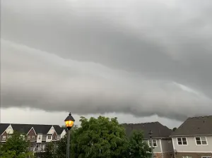
If those ridges develop far enough to the north, we could see lines of thunderstorms sweep across the southern Prairies and into the Great Lakes region.
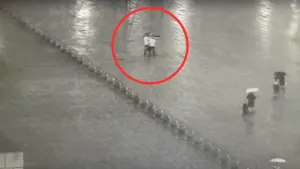
Lines of storms typically pack a threat for high wind gusts, heavy rainfall, and vivid lightning. Historically, some of these lines can grow into derechos that pack damaging winds over long distances.
RELATED: Why nocturnal thunderstorms can be particularly dangerous
The potential for this type of pattern will exist this summer, but it’s far too soon for details on specific placement or storm threats that could pop up over the coming weeks and months.
Given the overall growing risk for severe weather heading into the summer months, it’s important to stay aware of rapidly changing conditions in your area.
Take some time to review your emergency preparedness plans. There’s no better time than now to ensure your devices are ready to receive severe weather warnings the moment they’re issued.