Ice, snow possible as storms sweep Manitoba, northern Ontario
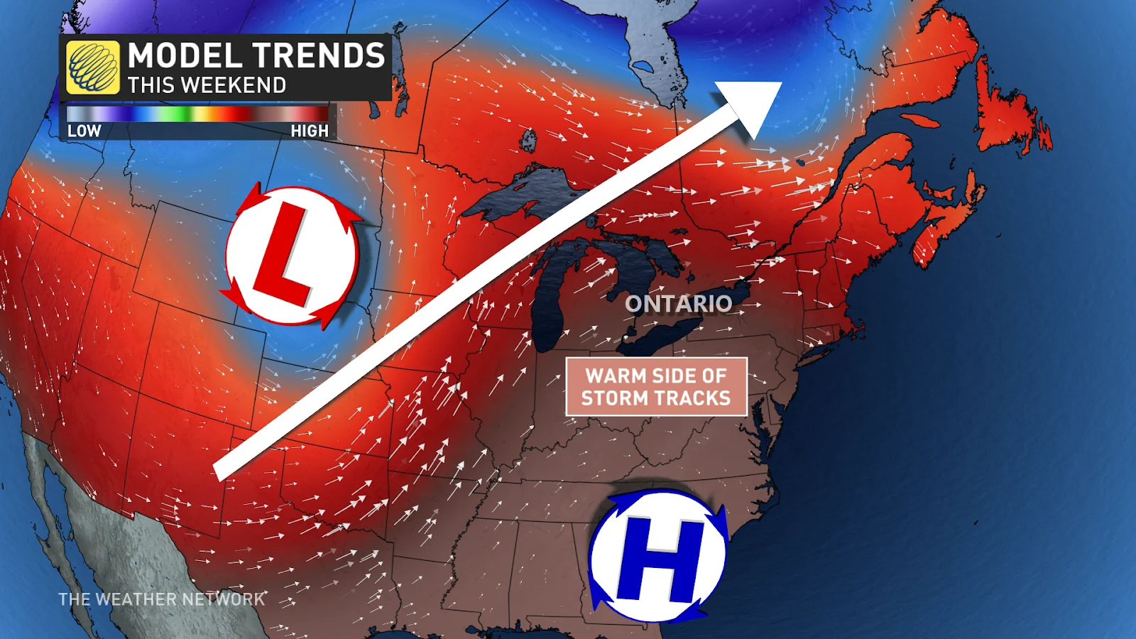
An active storm track parked over the western Great Lakes will keep unsettled weather around as we close out April
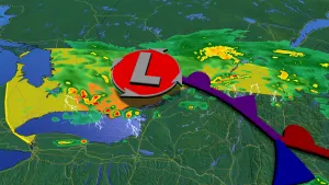
Manitoba and northern Ontario are in line for some of the busiest weather in the country as an active storm track parks over the region for the final weekend of April.
While it’s nothing compared to the severe weather these systems are unleashing south of the border, we could see a few disruptions of our own as widespread rain and some wintry precipitation threaten the region.
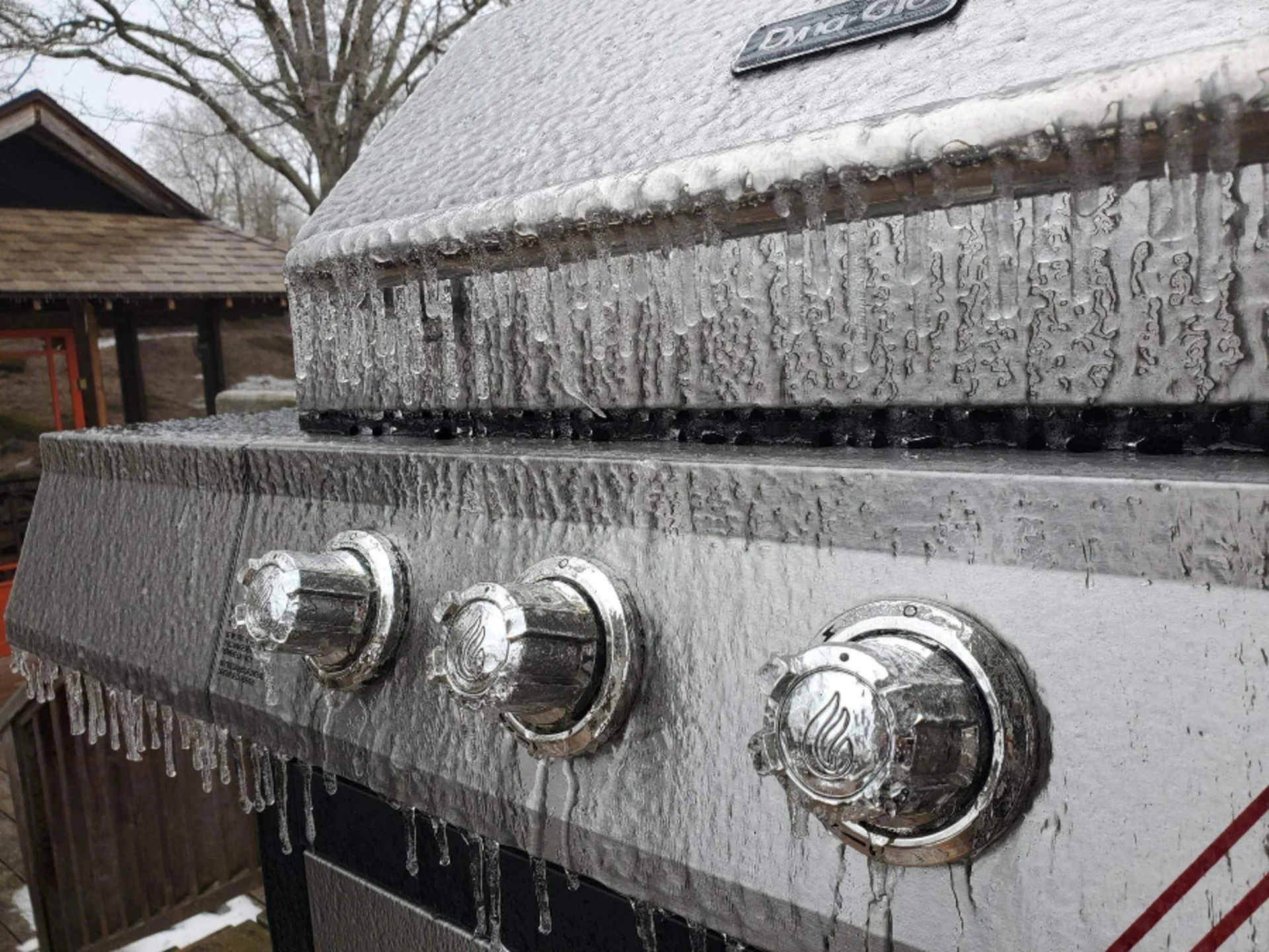
Prepare for travel issues where freezing rain could slicken roads, bridges, and sidewalks.
PHOTOS: Highway camera captures stunning tornado on the horizon
First rainy system arrives Saturday
The first low-pressure system will arrive through the day Saturday. While folks toward Windsor and Toronto enjoy warmer temperatures from this setup, we’ll stay on the cooler side around Winnipeg and Thunder Bay this weekend.
Rain that arrived in southern Manitoba on Friday pulled away from the region on Saturday morning. We’ll see precipitation continue across northwestern Ontario into the late evening hours.
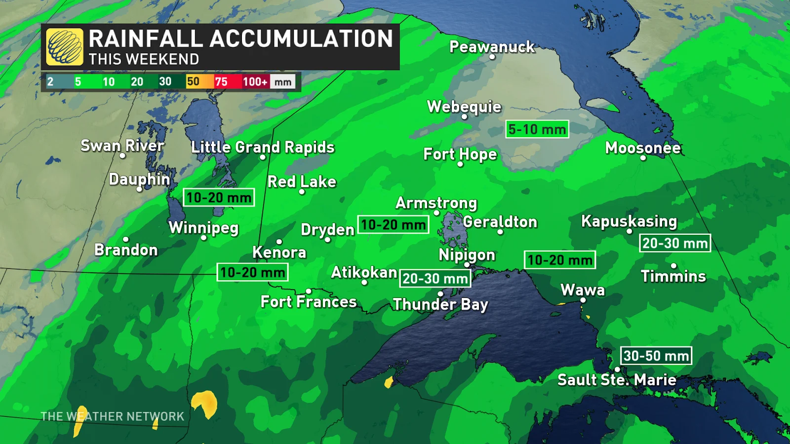
Folks in northeastern Ontario will have to deal with the rain for a while longer, continuing into the overnight hours on Saturday. There’s even a risk for overnight thunderstorms near Sudbury.
Farther north, colder temperatures will allow precipitation to fall as snow closer to James Bay. Winds spinning around our low-pressure system will start to drag that colder air south in time for Sunday, setting up our next bout of disruptive weather.
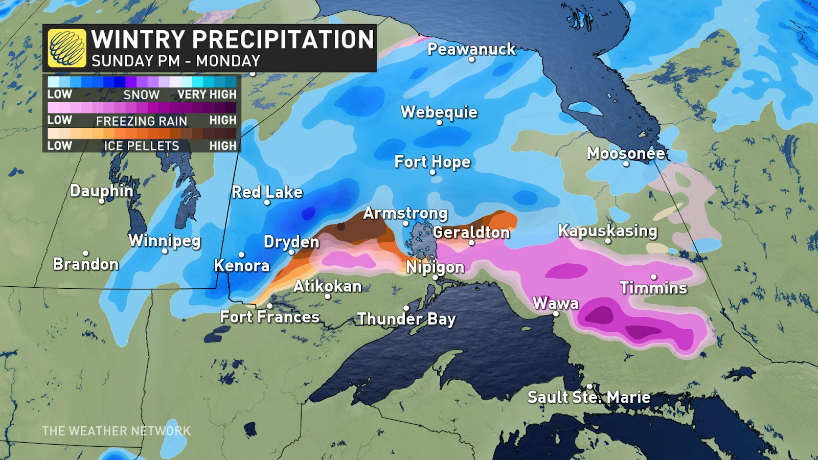
Icy conditions possible Sunday night into Monday
Hot on the first storm’s heels is a second low-pressure system lumbering out of the central United States. That storm will have colder temperatures to work with as it arrives in southern Manitoba and northwestern Ontario.
Rain will transition over to mixed precipitation for just about everyone during the overnight hours Sunday into Monday. We’ll see snow develop for portions of northwestern Ontario by Monday morning.
MUST SEE: Top five ways human-caused wildfires start
Northeastern Ontario can expect a period of freezing rain overnight Sunday and into Monday morning. It’s a dicey setup with temperatures hovering right around the freezing mark, so it’s difficult to know if precipitation will remain freezing rain or transition back over to plain old rain. Some areas could see up to 5 mm of ice accretion.
Communities that see prolonged freezing rain or snow will have to contend with slippery roads, bridges, and sidewalks on Monday morning. Allow for extra time heading to work or school on Monday.
Conditions should improve as the storm exits the region Monday night.