Rising warmth renews the risk of severe thunderstorms in Ontario
Heads-up, Ontario: Increasing heat will be the catalyst for a risk of thunderstorms on Wednesday, with a chance that some areas could see cells reach severe criteria
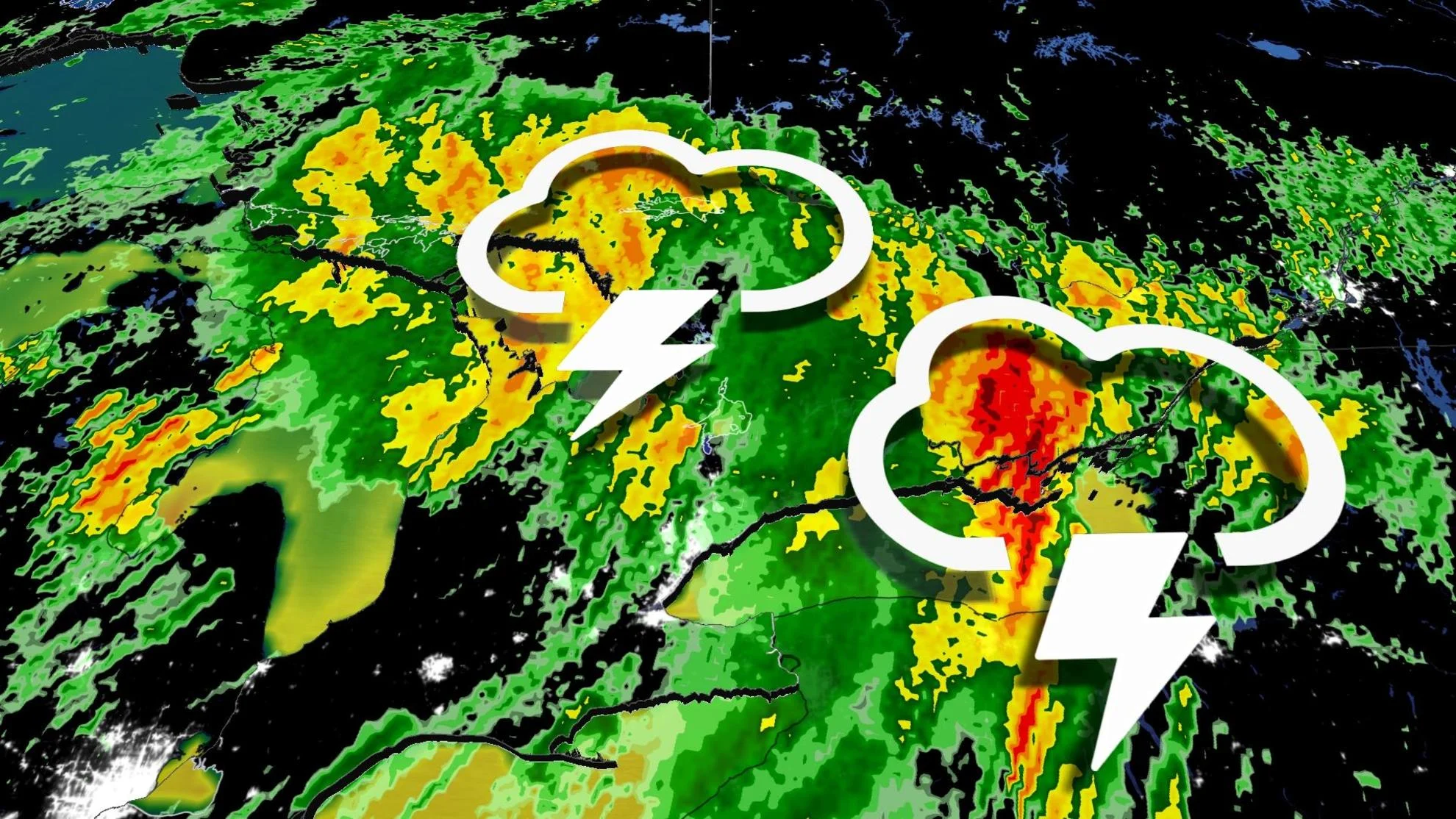
After severe thunderstorms sparked tornado warnings in the northwest on Tuesday, the threat for stormy weather will slide into southern areas on Wednesday.
Temperatures will soar into mid-summer like values again on Wednesday, and a passing cold front will be the trigger needed for thunderstorms to develop. Some areas in different parts of the province will be of particular focus for severe storm potential.
SUMMER 2024: Get an in-depth look at the Summer Forecast, tips to plan for it, and much more!
Be sure to stay up-to-date on all of the weather alerts in your area, especially with the growing thunderstorm chances as we inch even closer to the official start of summer this month.
Wednesday: Severe thunderstorm threat builds
The risk stretches across northeastern Ontario on Wednesday afternoon, with areas in the southwest more likely to see the chance for storms to bubble up during the late afternoon and evening.

Across central Ontario, and the Greater Toronto Area (GTA), the risk for storms will develop by the late evening and overnight hours.
Large hail, possibly up to toonie-sized, is expected through the areas with the severe risk.
Strong wind gusts of 80 km/h are expected along the cold front, and heavy downpours are expected as thunderstorms move through a humid environment.

High confidence for thunderstorm activity to develop across extreme southwestern Ontario late afternoon, continuing eastward into the evening and overnight.
It'll be important to remain weather-aware throughout the day on Wednesday.

Thursday through Saturday: Extended stretch of cooler, unsettled weather
The low-pressure system that settles over Ontario will continue to bring the chance for showers from Thursday to Saturday. It will also bring the risk of non-severe thunderstorms.
Unsettled conditions are likely to continue into the weekend for most of Ontario on Saturday, with lingering showers on Sunday.

Temperatures will likely be below seasonal by about 5 C across southern Ontario on Saturday with cooler troughing overhead. The province's hot spot will likely be near James Bay as daytime highs soar into the low- to mid-20s.
They will remain cooler for the second half of next week, lasting into Father's Day weekend. A warmer pattern will return during late June.
Be sure to check back for the latest weather updates across Ontario.