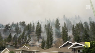
Temperatures cool, lake-effect snow bands set up for Thursday in Ontario

A series of showers and gusty winds, also including some snow and freezing rain for parts of Quebec and eastern Ontario, will be on the wane overnight into Thursday morning for the Great Lakes region. Chilly winds will, however, trigger some bands of lake-effect snow Thursday into the evening, though presently amounts don't look too dangerous for drivers. For a more detailed look, see below.
THURSDAY AND BEYOND: CALMER WITH SOME LAKE-EFFECT SNOW AS THE STORM MOVES AWAY
The warm front will lift through the St. Lawrence Valley overnight into Thursday, allowing temperatures to climb above freezing and precipitation to change over to all rain in eastern Ontario and southern Quebec.
The last drops will taper off through the morning Thursday, leaving a few moderate amounts widespread across the region.
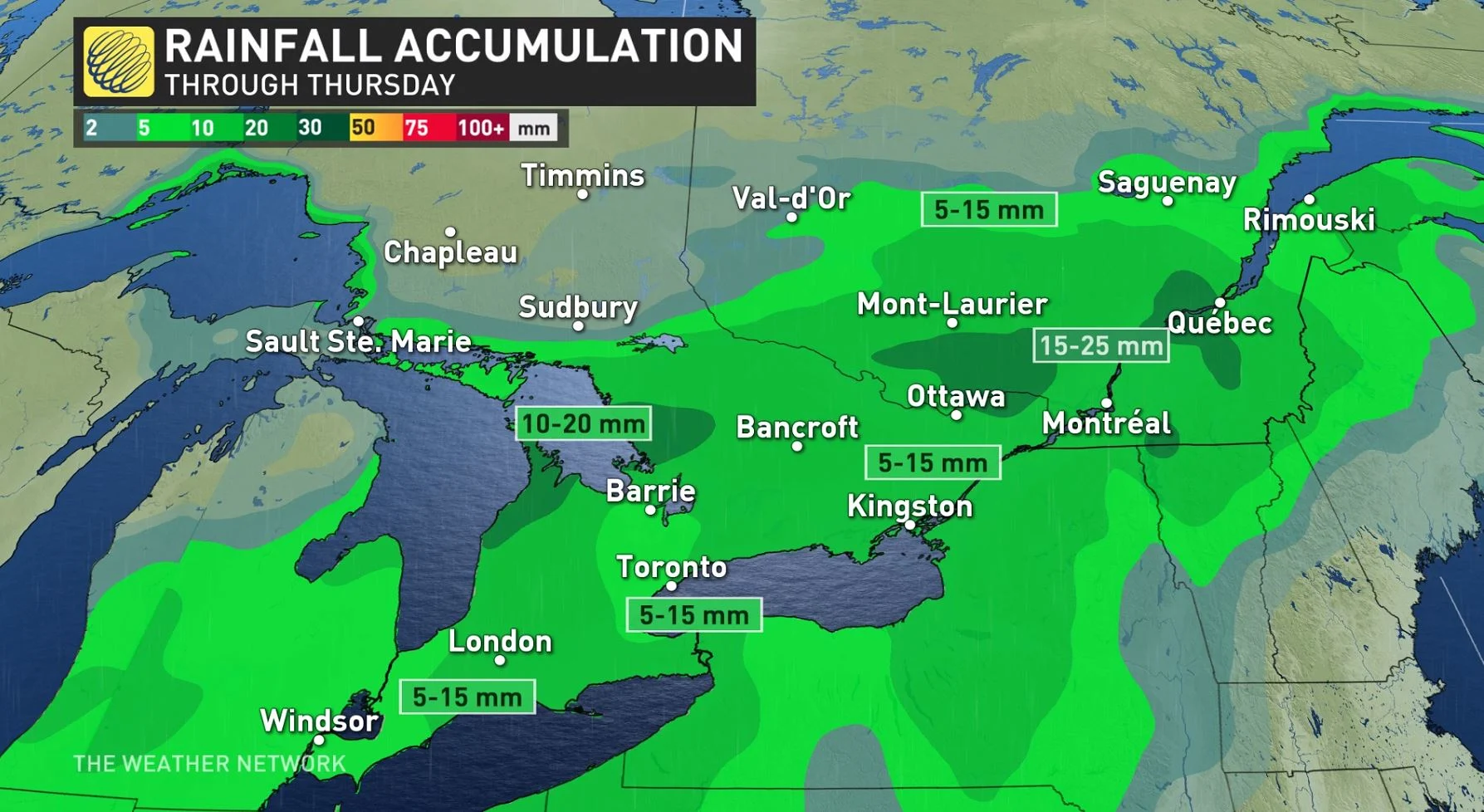
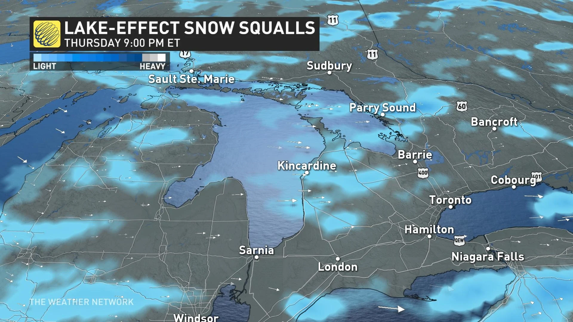
Conditions will grow calmer and chillier behind the front. Cold westerly winds blowing over the relatively warm lakes will lead to more bands of lake-effect snow for parts of southern Ontario during the day on Thursday, lingering into the evening.
At the moment, amounts look to be nothing impressive, though drivers should still be mindful of the conditions when they're setting out.
BEYOND: UNSETTLED CONDITIONS RETURN LATE WEEKEND
The weekend features near-seasonal temperatures, though capped off with some rain as a fall storm tracks through the northern Great Lakes, beginning across southern Ontario Sunday afternoon and evening, and then across eastern Ontario Sunday.
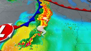
Meanwhile, a second low-pressure system is expected to develop off the coast of the northeastern U.S., with the potential to rapidly intensify as it slowly tracks northeast towards the Maritimes mid-week.
"The exact track and how the two storms interact is still uncertain but we're watching the potential for a band of heavy snow on the back side of the coastal low – which could extend into parts of Quebec," Weather Network meteorologist Dr. Doug Gillham said. "Lake effect snow will develop east and southeast of the Great Lakes with significant snow totals possible."
Be sure to check back for updates.