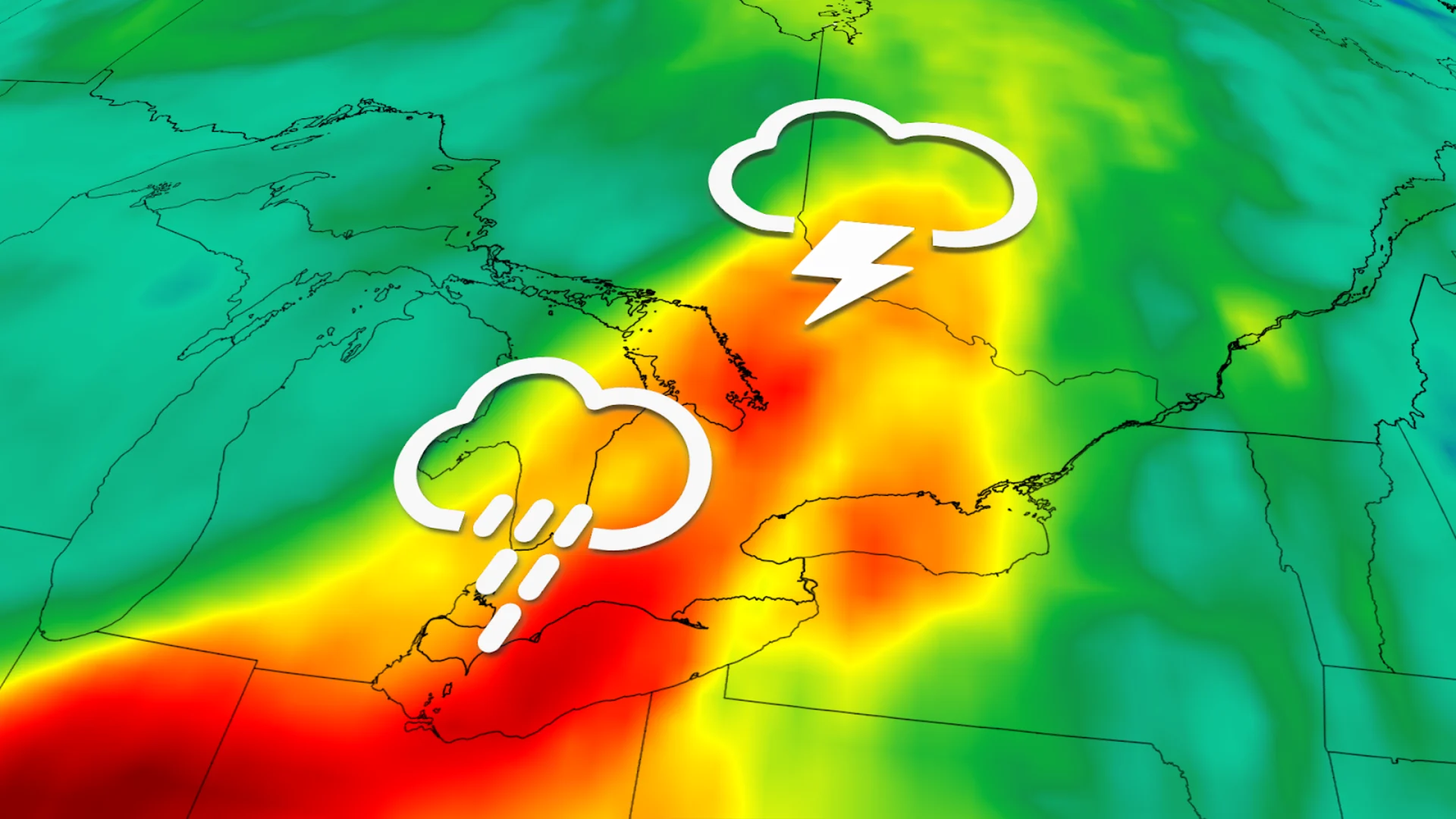
Thunderstorm, heavy rain risk bubbles up in Ontario. Forecast details, here
A passing cold front will be the trigger for thunderstorms with heavy rain to develop across much of Ontario on Wednesday
Folks in southern and northeastern Ontario could hear some rumbles of thunder Wednesday afternoon and evening as a cold front sweeps through the province, triggering thunderstorm development.
The summer heat will be on vacation for a little while longer in Ontario, despite it being July. Luckily, that also means there isn't much energy available in the atmosphere for storms to tap into.
CHECK OUT: July outlook: Will summer’s sputtering start turn around this month?
While storms are expected to develop Wednesday afternoon and evening across much of the province, they are expected, for the most part, to remain non-severe.

That being said, it can't be ruled out that a severe storm warning or two may pop up. Environment and Climate Change Canada (ECCC) issues severe thunderstorm warnings when a storm meets at least one of the following criteria: wind gusts of 90 km/h or greater, hailstones of 2 cm (nickel size) or greater, or heavy rainfall that equates to 50 mm/h or greater.
A few storms do have the chance to the criteria for wind gusts of 90 km/h and/or 2 cm hailstones. The greatest chance for this to happen is around the Greater Toronto Area (GTA), southwestern Ontario, including London and Windsor, as well northeastern Ontario. There is some uncertainty about where exactly in these regions severe storms can pop up, however.
SEE ALSO: How the atmosphere bakes a perfect thunderstorm

Thursday is expected to stay mostly dry, giving folks a little respite before a low-pressure system tracks into the province on Friday, kick-starting a pattern of unsettled weather heading into next week.
Stay with The Weather Network for more forecast information and updates on your weather across Ontario.
