More heavy snow hits northern Ontario, with dangerous freeze prompting warnings
Winter weather is in full force across northern Ontario, with additional heavy snow blasting the region through Wednesday, and a dangerous flash freeze prompting warnings
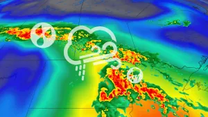
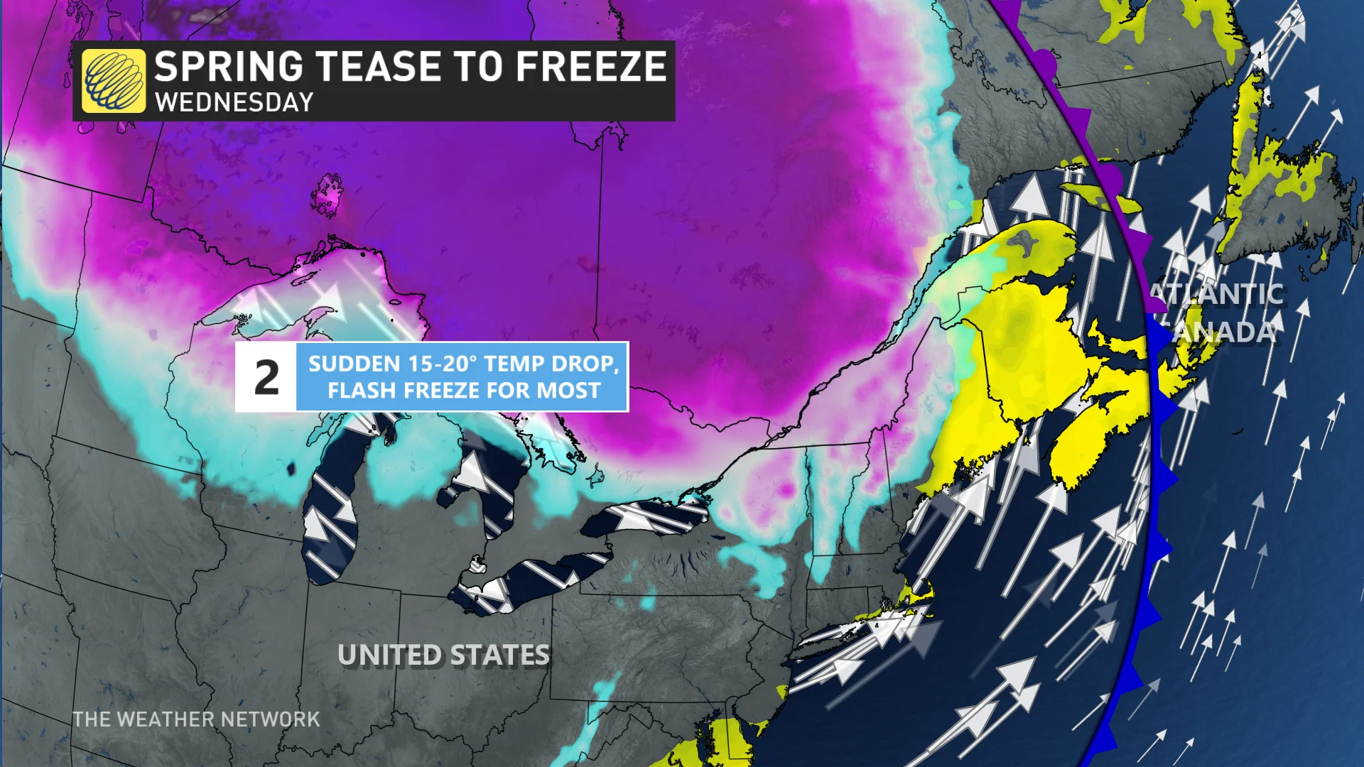
Northern Ontario is bearing the brunt of some harsh winter weather this week, as a potent late season storm brings heavy snow, icy precipitation and a flash freeze threat into Thursday.
Visit our Complete Guide to Spring 2023 for an in-depth look at the Spring Forecast, tips to plan for it and much more!
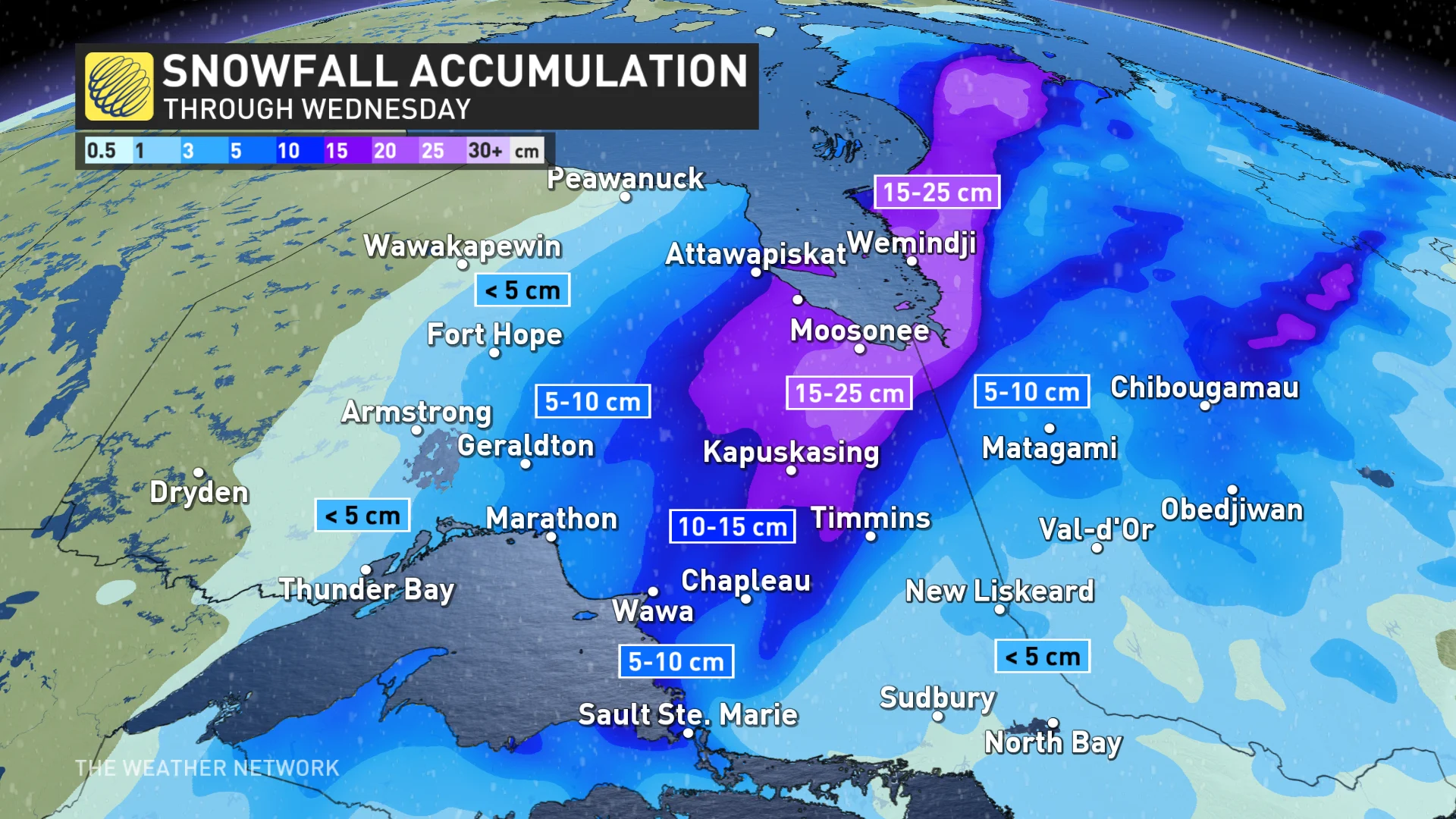
An additional 10-25 cm of snow is expected for the hardest hit areas, with intense snowfall rates of 2-4 cm per hour greatly impacting travel conditions through the day on Wednesday.
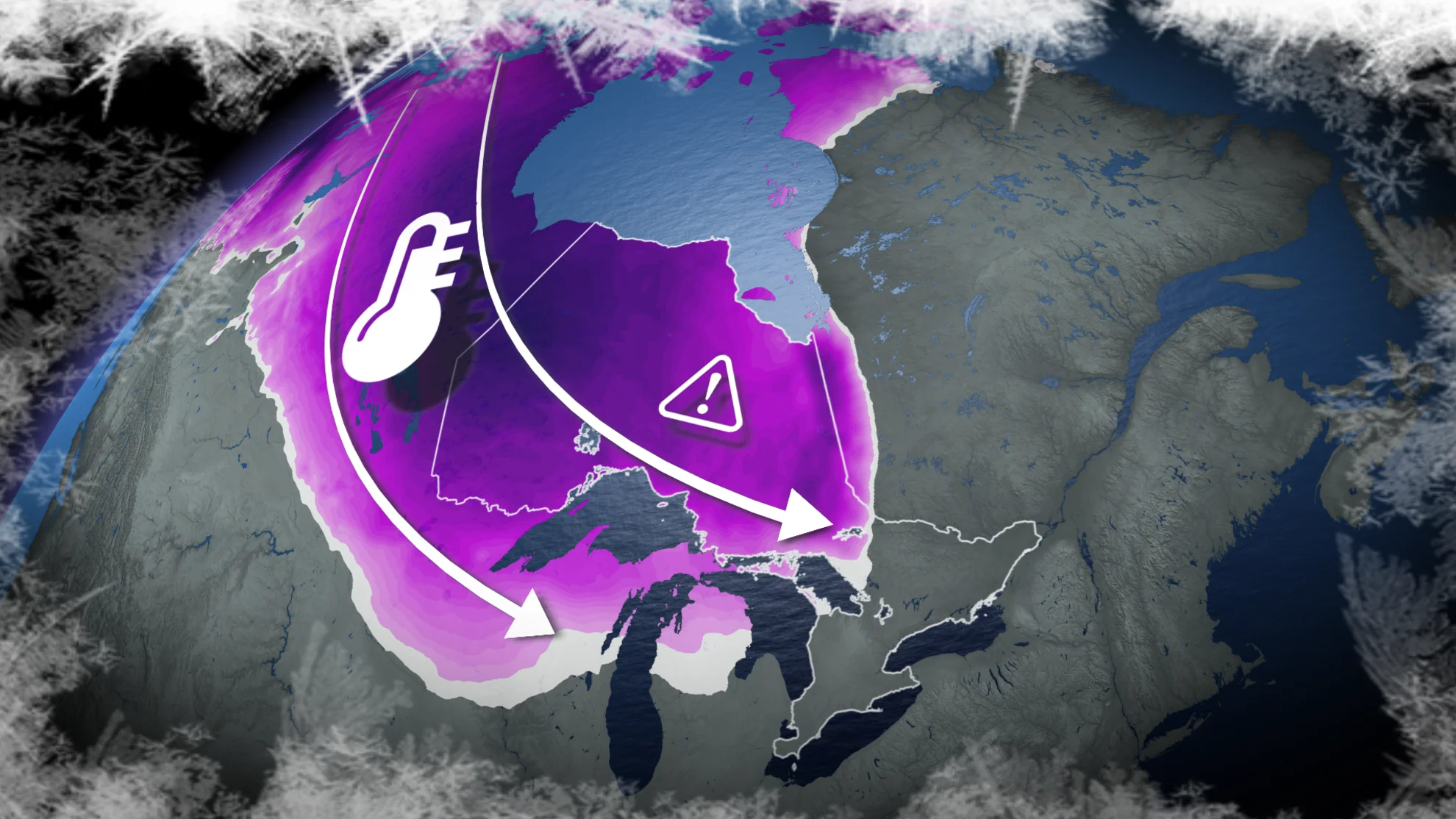
Temperatures will drastically fall as a strong cold front advances through, so icy surfaces are likely across the region, with a bitter wind chill kicking in, as well.
Wednesday into Thursday: Winter storm brings additional snow, ice, and dramatic temperature drop
More heavy snow, icy precipitation and a flash freeze are all forecast in northern and central Ontario for Wednesday.

A strong low pressure system brought snow into northwestern Ontario on Tuesday, with it picking up in intensity across the northeast on Wednesday. By the time all is said and done, snowfall totals will top 10-20 cm for northwestern sections of the region, with as much as 40 cm in the northeast towards James Bay. This snow will be falling at a rapid rate through Wednesday, before gradually weakening into the evening hours.
"Visibility will suddenly be reduced to almost zero at times in heavy snow and blowing snow. Evaluate the possibility of delaying any non-essential travel until conditions improve," says Environment and Climate Change Canada in the winter storm warning posted for the northeast.
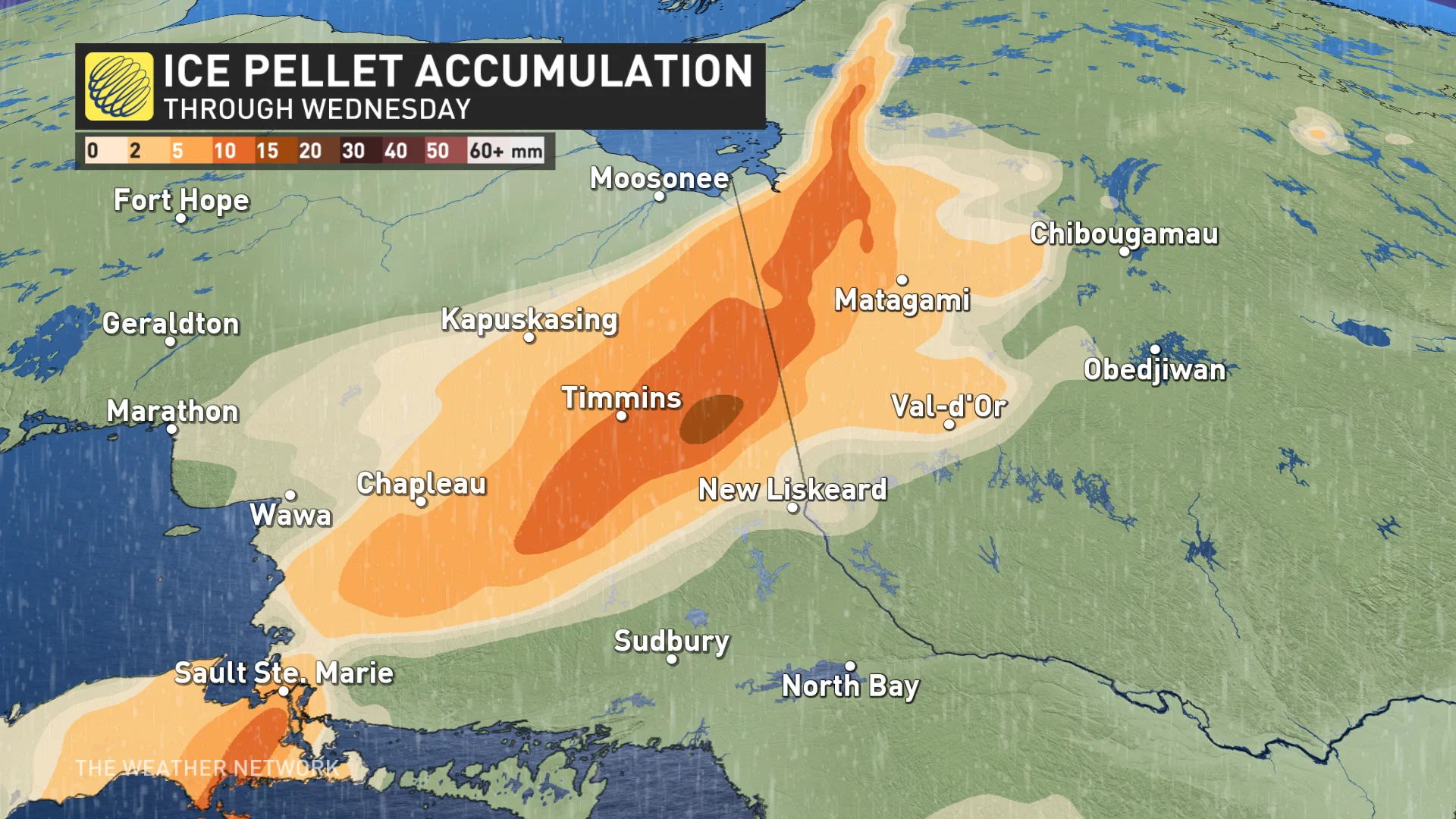
For areas near Timmins and south, Tuesday's milder temperatures brought rain, and even a couple of rumbles of thunder, but icy conditions, followed by snow, are forecast through Wednesday afternoon as conditions start to cool.
The wintry mix will include freezing rain and ice pellets through areas including, Sault Ste. Marie, Timmins and New Liskeard.
The advancing cold front will bring the drastic drop in temperatures, prompting a flash freeze warning for areas between Sault Ste. Marie, Timmins and Sudbury.
In just a few hours, temperatures well above the freezing mark will suddenly fall well below freezing. Widespread gusty winds of 50-70 km/h will also whip through.Wet surfaces will quickly becoming icy by the late afternoon, and bitter wind chills will take hold of the region by night.
While intense, this blast of Arctic air will be brief, and will be followed by much milder weather during the weekend and early next week. Double-digit temperatures should reach all the way to Moosonee on Monday.
A strong cold front will then track across the region once again, and bring much colder temperatures from west to east by mid-week.
Stay tuned to The Weather Network for the latest forecast updates for northern Ontario.