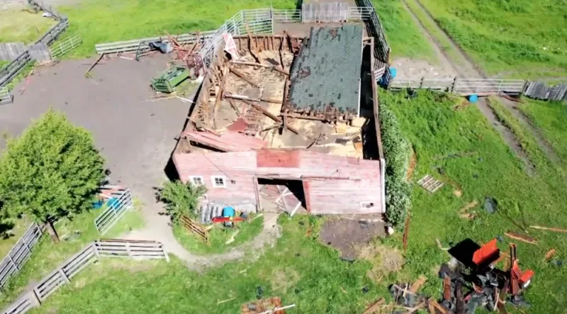
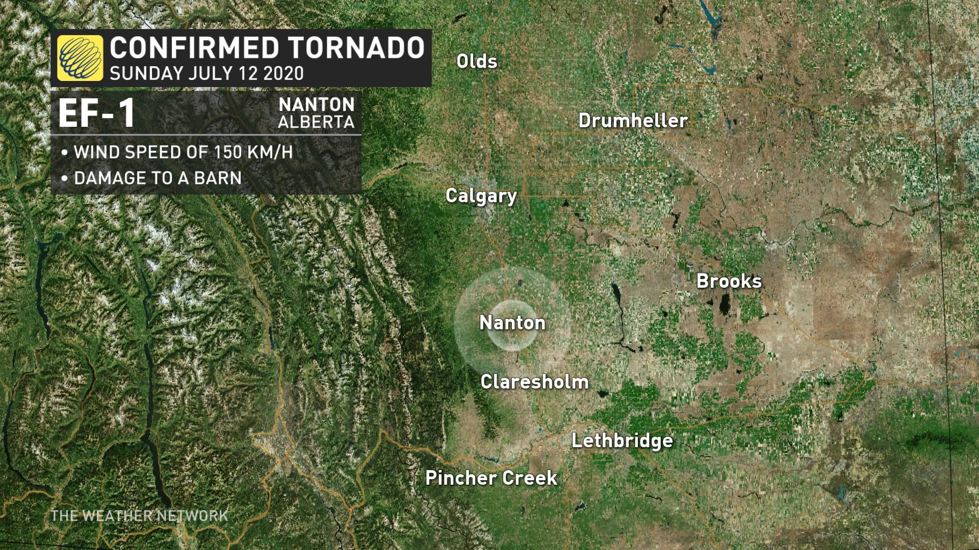
Tornado in Nanton, Alberta, upgraded to EF-1 after damage survey

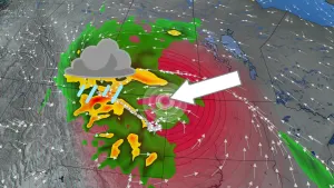
Strong storms lashed parts of Alberta Sunday, with at least one tornado confirmed in their aftermath -- and investigators now say it was even stronger than originally thought.
Environment Canada at first confirmed the tornado, spotted early Sunday afternoon near Nanton, after receiving multiple reports, including visuals that showed a dust cloud at the base of the funnel, a sure sign of touchdown. No damage was reported at the time, and the weather agency gave the twister an EF-0 designation, the lowest on the Enhanced Fujita Scale.
But on Tuesday, Environment Canada said it was upgrading the tornado to EF-1 status, with winds of around 150 km/h, based on damage to a ranch near Nanton surveyed by investigators with the Northern Tornadoes Project.
SEE ALSO: $1.2B Calgary hailstorm ranks as Canada's 4th costliest natural disaster
LARGE HAIL REPORTED FROM SUNDAY STORMS
Environment Canada also said Tuesday that a separate tornado near Red Deer on July 7 was a "probable" twister, bringing the province's count up to 10 this season.
The Sunday storms that generated the Nanton tornado also produced large and damaging hail, with reports of stones with diameters as big as 30 mm in Spruce View, 26 mm in Innisfail and 24 mm in Caroline, to name just a few.
Social media exploded Sunday with images and pictures of the accumulating hail and the now-confirmed Nanton tornado. Below is a selection of how the storms looked.

Hail piles up in Innisfail, Alta. Photo: Nicole Scarlett.
WATCH: FOOTAGE OF THE EF-1 TORNADO NEAR NANTON, ALBERTA
Thumbnail courtesy of Jeff Adams.