Tornado watches issued for today's severe storm threat in northwestern Ontario
Residents across northwestern Ontario are advised to monitor the forecast closely as severe weather, including the potential for a tornado, is expected through Tuesday. Check back regularly for updates.
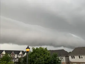
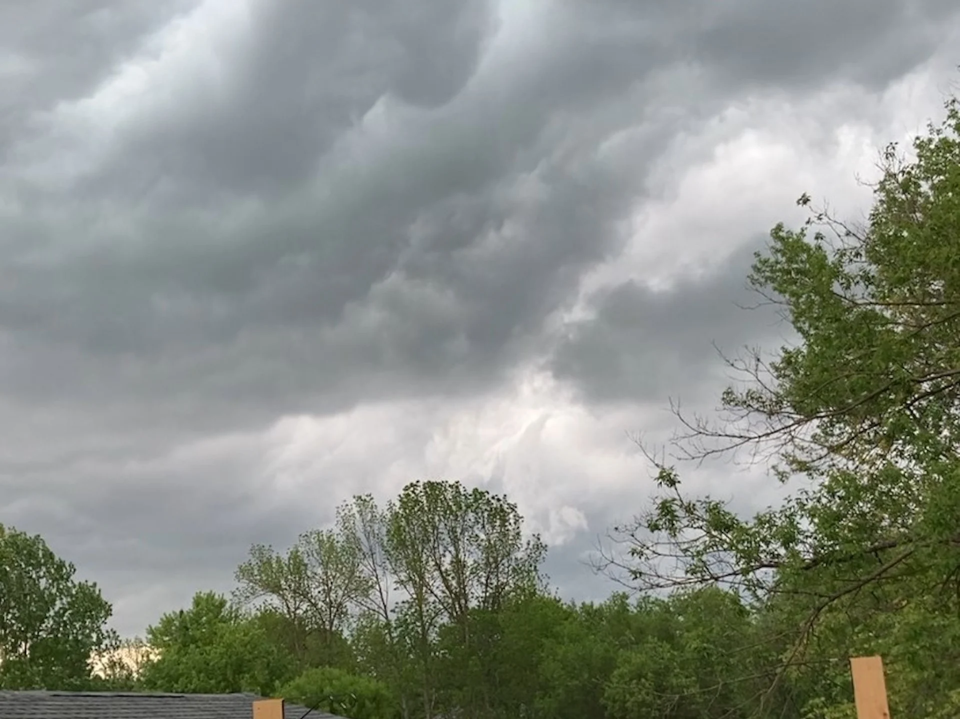
Conditions are favourable for the formation of severe thunderstorms, which could produce tornadoes across parts of northwestern Ontario today. A tornado watch has been issued. Strong winds, large hail and heavy rain are also possible.
Current tornado watches
Dryden - Vermilion Bay
Fort Frances - Emo - Rainy River
Kenora - Nestor Falls
Ear Falls - Perrault Falls - Western Lac Seul
Sioux Lookout - Eastern Lac Seul
11:13 AM CDT: Conditions are favourable for the development of funnel clouds and possibly brief, weak tornadoes. Strong winds, large hail and heavy rain are also possible.
A line of thunderstorms is expected to push eastwards through northwestern Ontario this afternoon or early this evening. The main threats with these thunderstorms will be strong wind gusts and a tornado threat.
In addition, the moist air mass will allow for storms to produce heavy downpours.
MUST SEE: How severe weather alerts are issued, and potentially save lives
Be prepared for severe weather. Take cover immediately, if threatening weather approaches.

Tuesday: Tornado threat with today's severe storms
Storms will develop late Tuesday afternoon, but will diminish by midnight.
The greatest risk for severe weather will occur in the late afternoon, extending into the early evening hours, as well.

Initially, as the storms first push in, a risk for hail will be the primary hazard, but will transition to strong wind gusts and a tornado threat.
However, there is some uncertainty in the northward extent of instability and how far east the organized storm activity will reach. Regardless, be prepared for severe weather and take cover immediately, if threatening weather approaches.

Hot and humid conditions are expected to persist through Wednesday for the eastern half of the region, with temperatures reaching the upper 20s and lower 30s. Temperatures will remain very warm through Thursday for the Moosonee area, but most of the region will be much cooler.
DON'T MISS: Canada to benefit from major U.S. funding for weather, tsunami alerts
An extended stretch of unsettled weather will persist for much of the week, with showers and thunderstorms lasting for the next several days. By Friday, 50+ mm of rain could fall in some of the harder-hit areas.

Temperatures should trend closer to seasonal later next week, but near-seasonal or cooler-than-seasonal values are expected to dominate through Father’s Day weekend.
Stay tuned to The Weather Network for the latest forecast updates for northwestern Ontario.
Thumbnail image courtesy: Marc Beaudry, taken in Fort Frances, Ont.