Parade of atmospheric rivers in B.C. keep avalanche, flood worries high
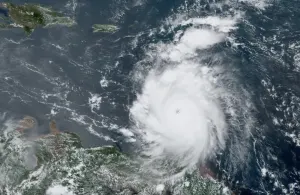
A series of atmospheric rivers will keep the rain coming in B.C. this week, maintaining the considerable flood, landslide and avalanche threats.
Thanks to what has been an unrelenting pineapple express setup, B.C. will continue to be drenched this week.
A series of storms bringing warm temperatures, elevated freezing levels and periods of heavy rain will increase the potential for flooding, pooling water and possible landslides this week.
RELATED: Snowmobiler killed in avalanche in northeastern B.C.: Avalanche Canada
Special weather statements and rainfall warnings are in effect.
As a result of the conditions, an avalanche occurred Saturday in the Hasler riding area, killing a snowmobiler. It was B.C.'s first reported avalanche fatality of the season. Avalanche Canada is warning of high risks in much of the B.C. backcountry right now.
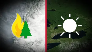
Tuesday and beyond: Reprieve before another round moves in
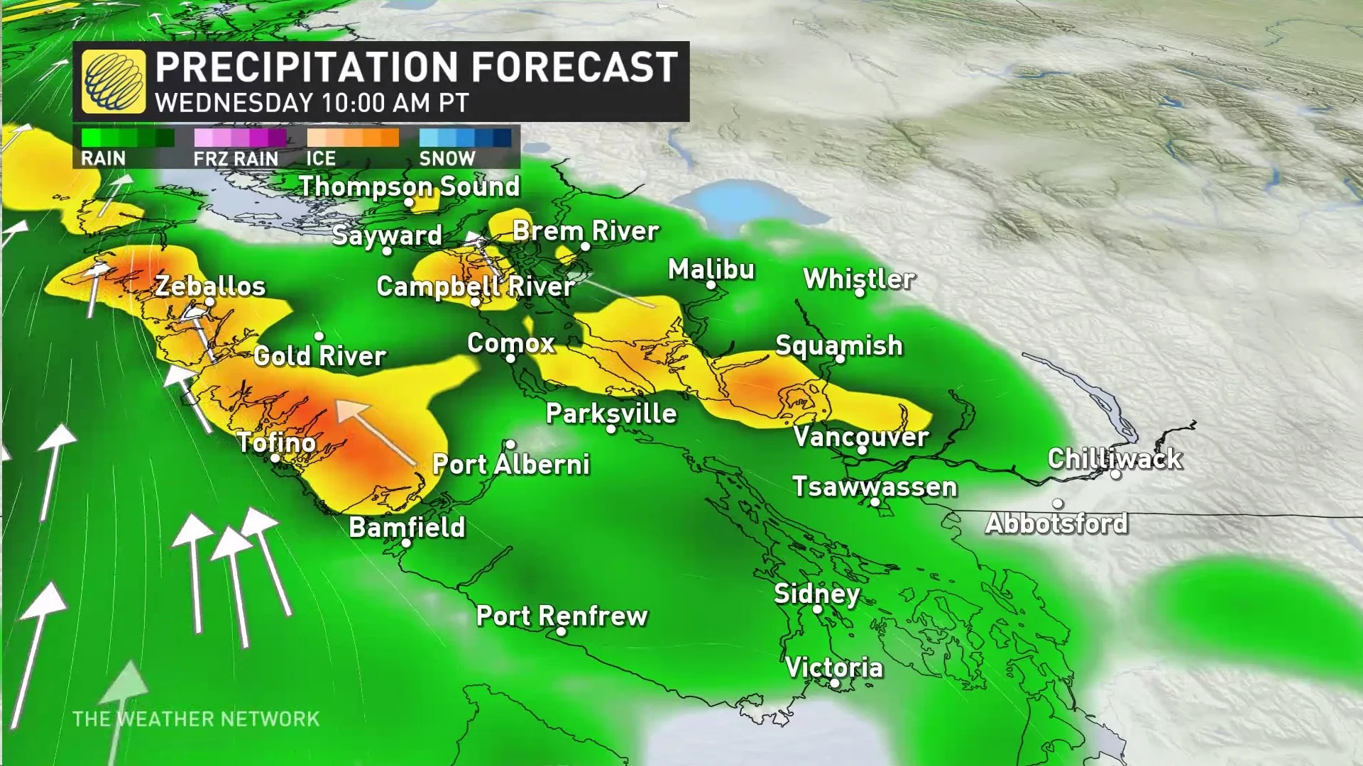
Tuesday will see a much-needed break from the rainfall, but another round of soggy weather will impact very similar areas by Wednesday.
This round looks weaker and more disorganized but not by much. Similar hazards will be felt since the ground and alpines are quite unstable from the weekend.
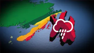
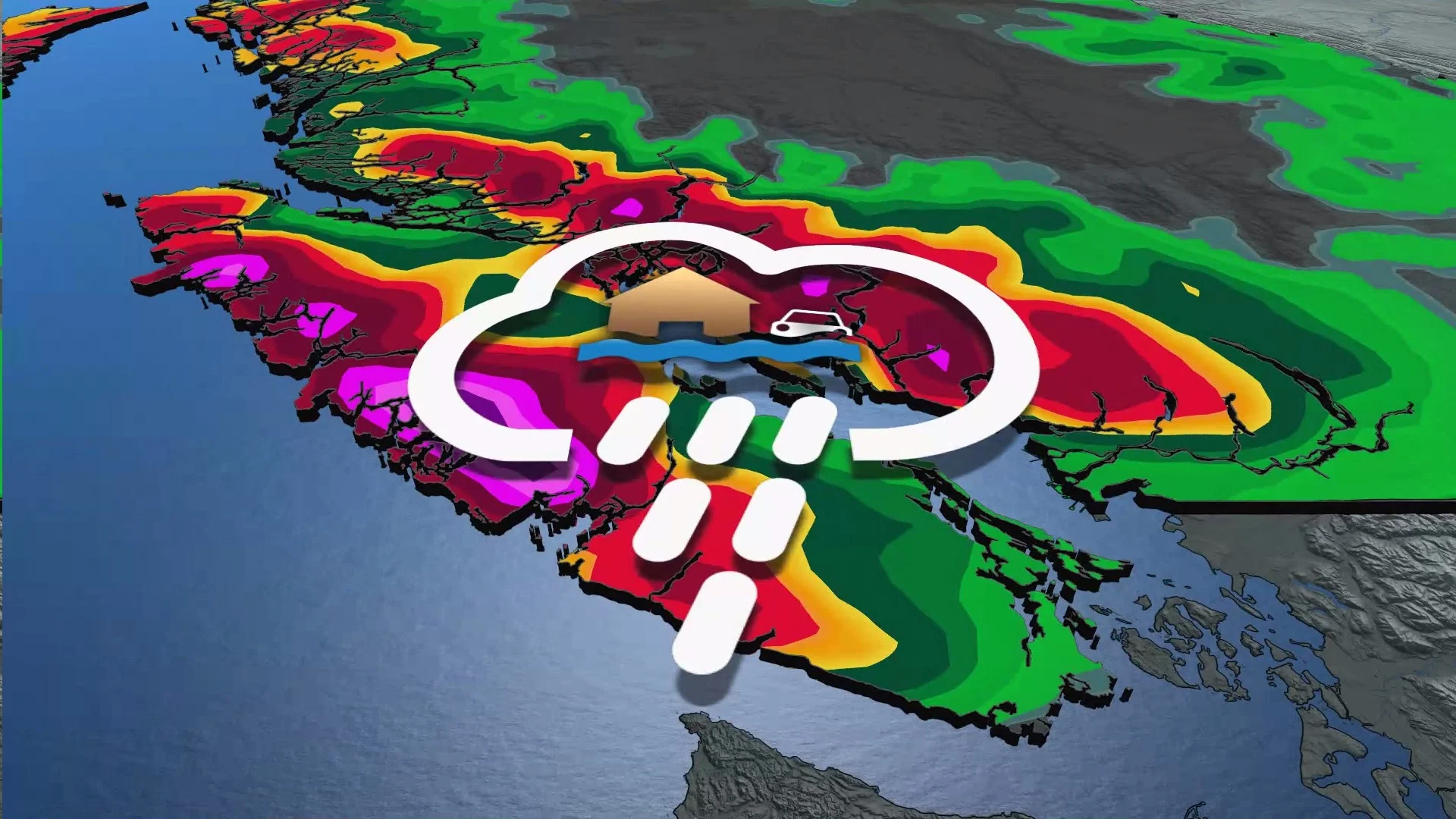
As wet conditions continue to plague the region, there continues to be the risk of localized flooding, unstable snowpack leading to avalanches and unstable earth increasing the risk of mudslides.
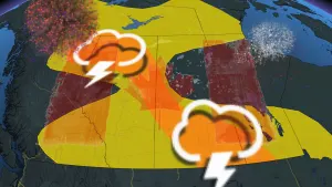
Heavy rain moves in Wednesday, with scattered rain continuing on Thursday.
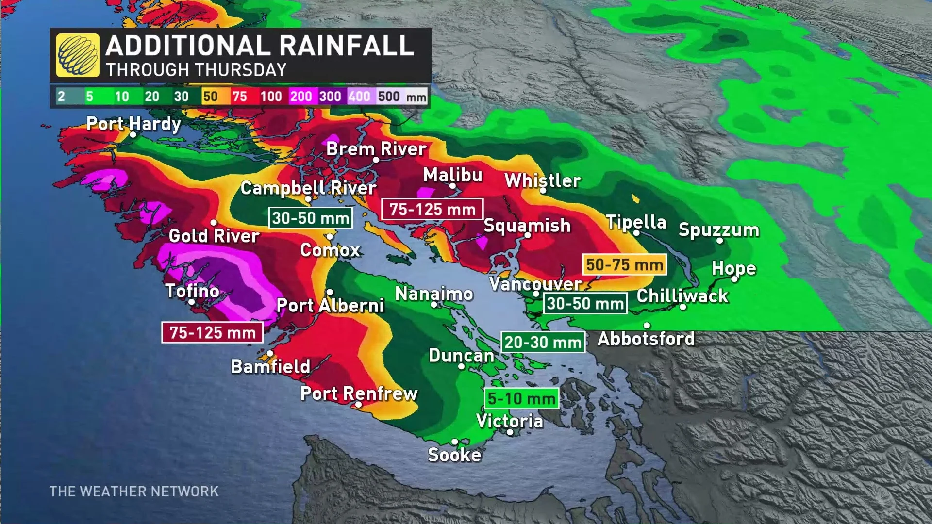
The coastal mountains of Vancouver Island will once again record the heaviest amount of precipitation, on top of the 298 mm of rain already recorded from Saturday to Monday at the Effingham station in the mountains east of Tofino.
Metro Victoria and Metro Vancouver will see rain with this next atmospheric river but won’t get the worst of it.
DON’T MISS: El Niño is hanging strong—but a big change is on the way
High freezing levels are concerning. This deep reserve of mild, tropical air is bad news for ski resorts along the North Shore and Vancouver Island, where freezing levels will jump higher than 2500 m through the middle of the week.
Combined rainfall and snowmelt will lead to a flooding risk around the mountains, as well as creating an unstable snowpack that will enhance the potential for avalanches in the backcountry, to considerable levels in many areas, along with mudslides.

Widespread flood watches and high streamflow advisories are in effect across southwestern B.C., with a flood warning issued for the Sumas River in the Lower Fraser Valley.
WATCH: A parade of storms creates dangerous conditions in British Columbia
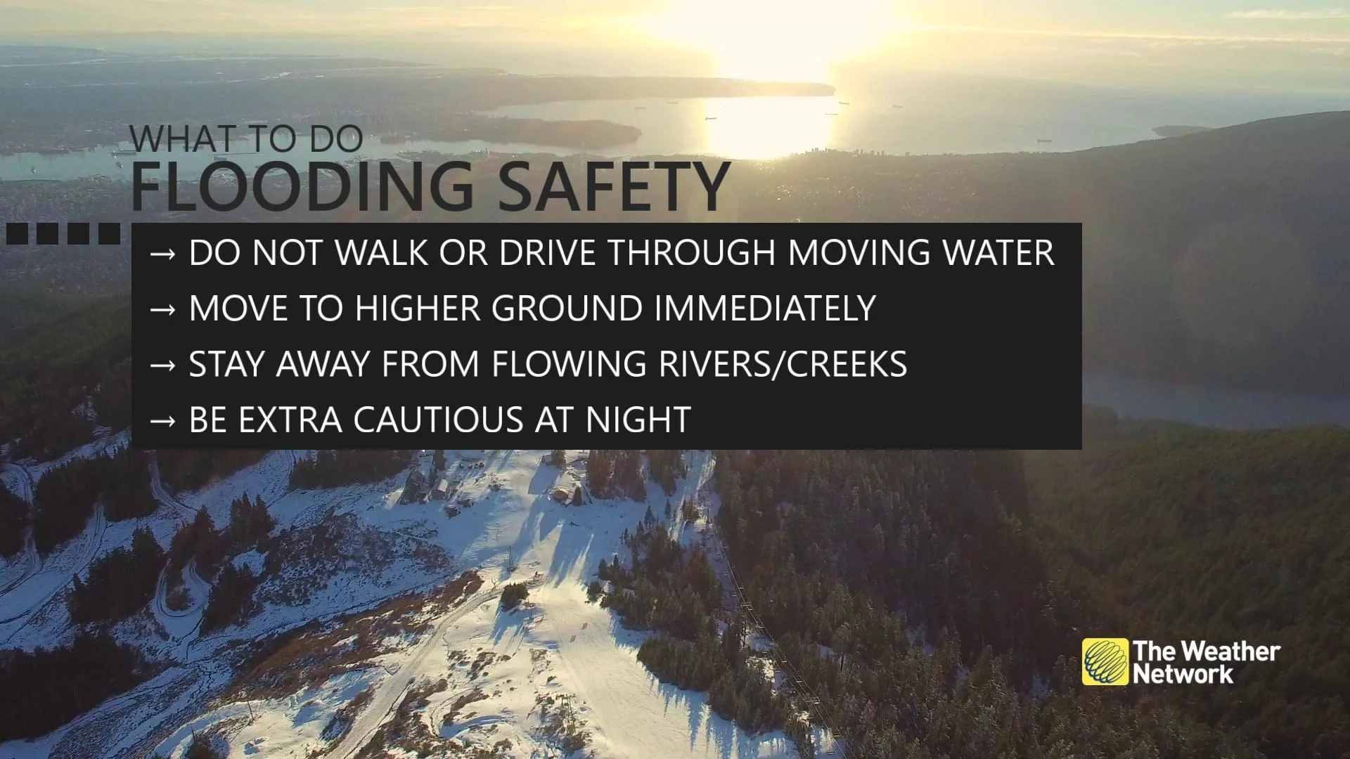
Remain mindful of the risk for flooding around vulnerable low-lying areas, and avoid driving across flooded roadways if you come across high water. It’s impossible to tell how deep the water is until it’s too late, and the road may have been washed out beneath the water.
Drier, and more seasonal conditions will follow into the weekend. A much drier pattern will linger through early February. Cooler-than-normal temperatures are expected in early February, but then a milder pattern is expected towards mid-month.