PHOTOS: Possible tornado in Ontario after powerful storms charge through

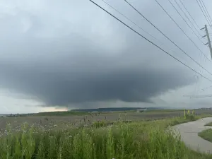
The powerful storms marched their way through southern Ontario Friday, producing a possible tornado in Milton, as well as frequent lightning, intense winds, torrential rains, with power outages and flash flooding in some locales.
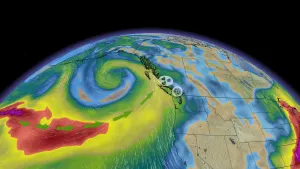
With the extreme heat holding on for one more day, southern Ontario was primed for thunderstorms Friday and the threat certainly materialized.
Several severe thunderstorm warnings were issued for parts of the province, with the storms initiating in the afternoon in the southwest and reaching the Greater Toronto Area by the evening.
SEE ALSO: Derecho: Rare but dangerous storm system you should know about
There were some reports of trees down, power outages, torrential rainfall, flash flooding, scary-looking clouds, frequent lightning, powerful winds and at least one potential tornado spotted in the Milton area.
A tornado has not been formally confirmed by Environment and Climate Change Canada, though the agency acknowledged the report of one. The Western University-based Northern Tornadoes Project, which investigates tornadoes in conjunction with the agency, told The Weather Network it would be looking into the potential twister.
Severe thunderstorm warnings were dropped before 10 p.m., but non-severe storms continued to roll through the overnight in some areas.
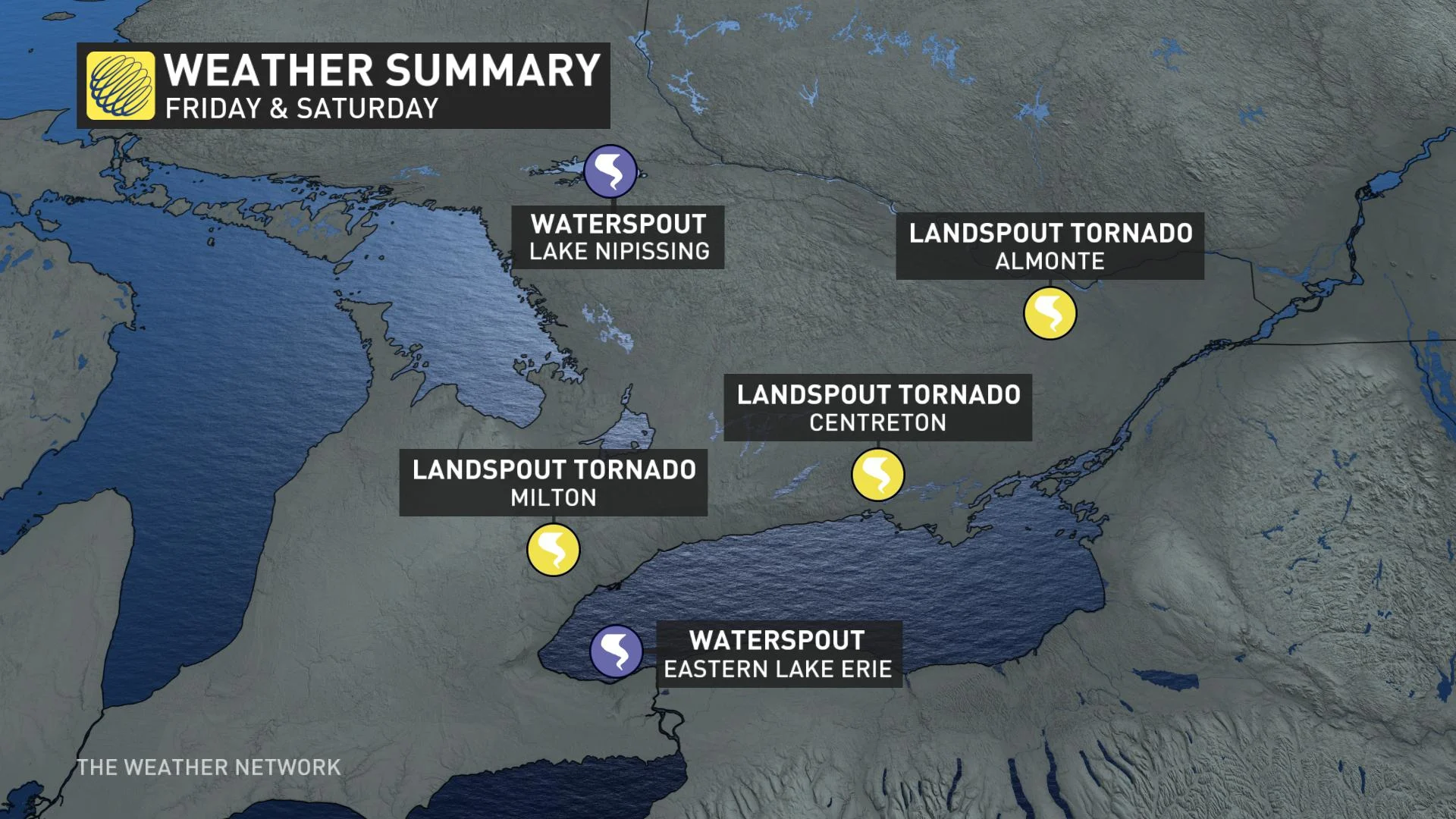
On Saturday, Environment Canada said it received two more reports of landspout tornadoes that day in Centreton and Almonte, along with reported sightings of waterspouts on Lake Nipissing and eastern Lake Erie.
SOCIAL MEDIA LIT UP WITH VISUALS FROM INTENSE STORMS
In addition to footage surfacing of a possible tornado in Milton, images and videos of shelf clouds, lightning, heavy downpours and flash floods made their way onto social media as the intense storms roared through.
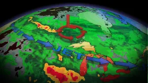
VIDEO: EXPERT RADAR ANALYSIS OF POSSIBLE TORNADO ON FRIDAY
Thumbnail courtesy of Sally Souch Souch.