Snow threat hangs over western Prairies this long weekend

A big cool down and snow return to the Prairies as we head into the May long weekend.
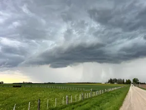
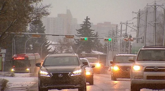
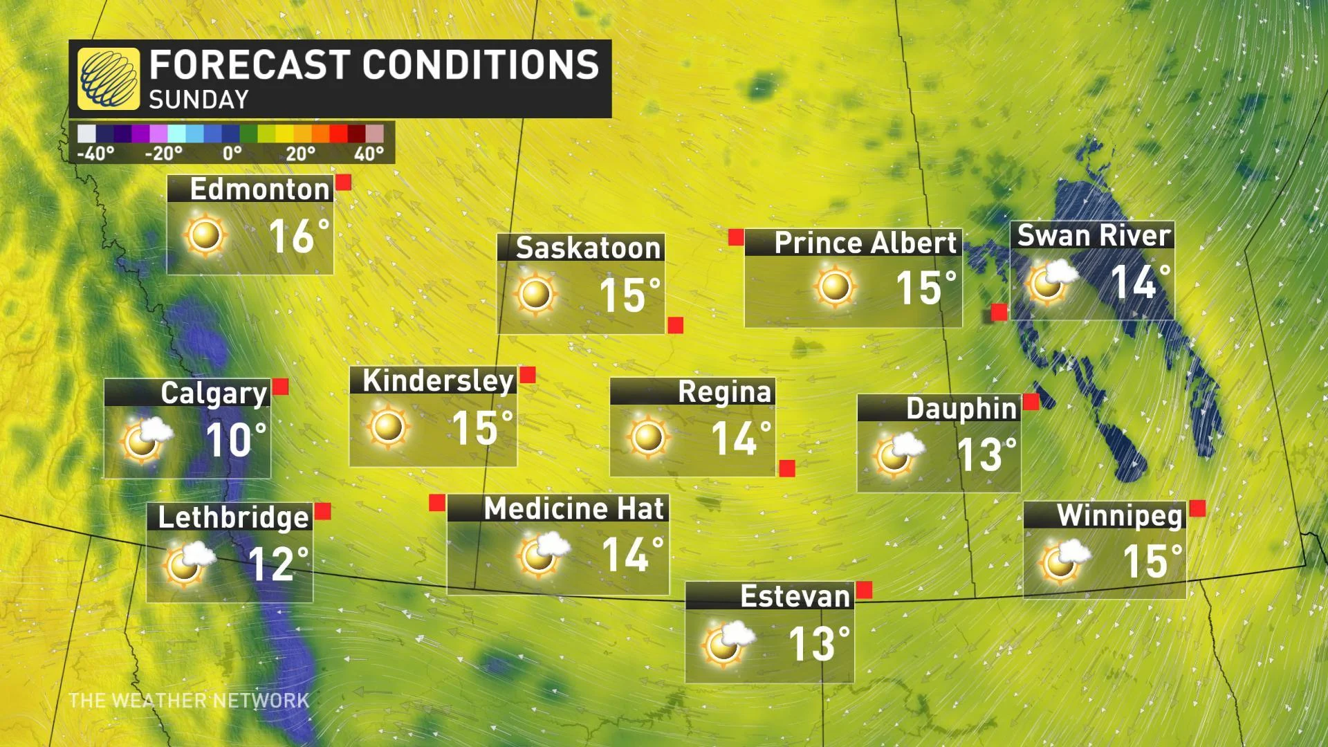
Unofficial first weekend of summer? It doesn't feel much like that for most of southern Alberta, with well-below seasonal temperatures and accumulating snow along the foothills on Saturday. That chilly pattern lingers into the new week, but things turn around for the second half of the week. More on where the flakes will fly, plus a look at the next moisture-filled system we're watching for next week, below.
Start planning for the season ahead with our Complete Guide to Summer 2019
WEATHER HIGHLIGHTS:
Below-seasonal temperatures linger into first half of next week
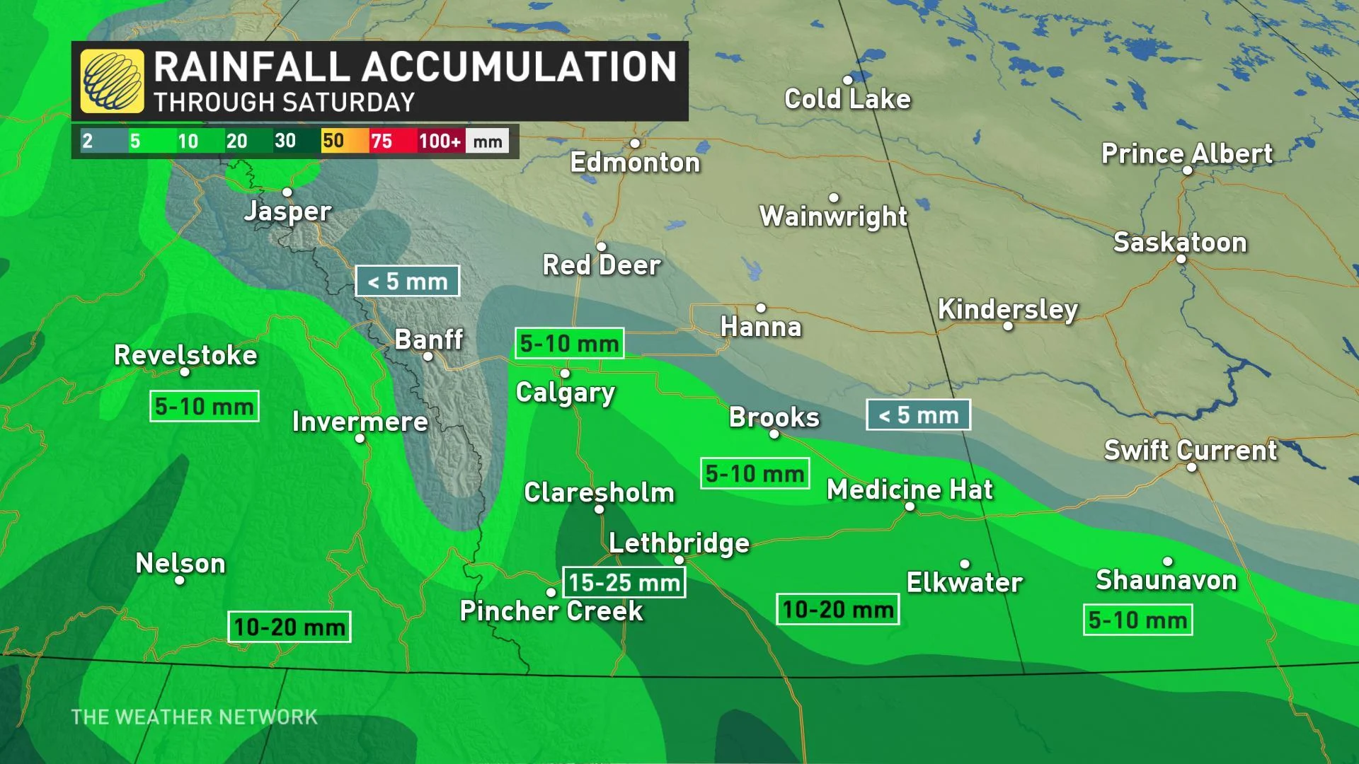
Snow tapering off for southern Alberta through Saturday
Widespread sunshine for the second half of the week
Latest warnings and alerts [HERE]
THE SNOWY SET-UP
Spring warmth has lost its traction once again across the southern Prairies as an abrupt cool down threatens snow into parts of the long weekend. An upper level low positioned over the U.S. west coast will be the moisture feed through Saturday.
"High pressure diving south from the Arctic will provide dry conditions across much of the eastern Prairies and northern Alberta while at the same time forcing an easterly flow towards the Rockies to enhance some upslope precipitation along the foothills," explains Weather Network meteorologist Kelly Sonnenburg.
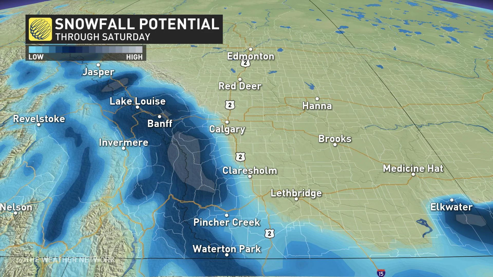
The threat for rain showers will continue for areas south and west of Calgary through the day on Saturday, with a mix of snow also persisting through the Rockies.
"Gusty southeast winds will continue through the day across central Alberta as well with local gusts near 70 km/h before the system departs Saturday night," Sonnenburg adds.
CLEARING, BUT STILL BELOW SEASONAL
While the risk for snow moves away as the system spurring unsettled weather cruises eastward through the northern U.S., temperatures don't do much in the way of recovery for the holiday weekend. Daytime highs will remain well below seasonal across the south, while northern regions have the potential to climb a few degrees above.
SEE ALSO: Wild pigs causing 'ecological disaster' in Canada
Below-seasonal temperatures will dominate into the new week, as well, with an "especially chilly" extended forecast in store for Calgary, Weather Network meteorologist Dr. Doug Gillham warns.
"We're also watching a system south of the border next Tuesday and Wednesday, but the exact track will be the key as to whether we get some beneficial rain across the southern Prairies (and snow in the foothills of southern Alberta) versus the precipitation staying south of the border," adds Gillham.
Be sure to check back for the latest updates on the weather in your area.