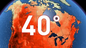
Stationary, stormy pattern on the Prairies means daily severe weather risk
Continuing for much of the first week of July, the thunderstorm risk will persist across parts of Alberta, Saskatchewan and Manitoba, and will include a swath of severe weather to watch out for.
The Prairies have seen plenty of storms lately, and that is going to continue this week as the risk of thunderstorms continues.
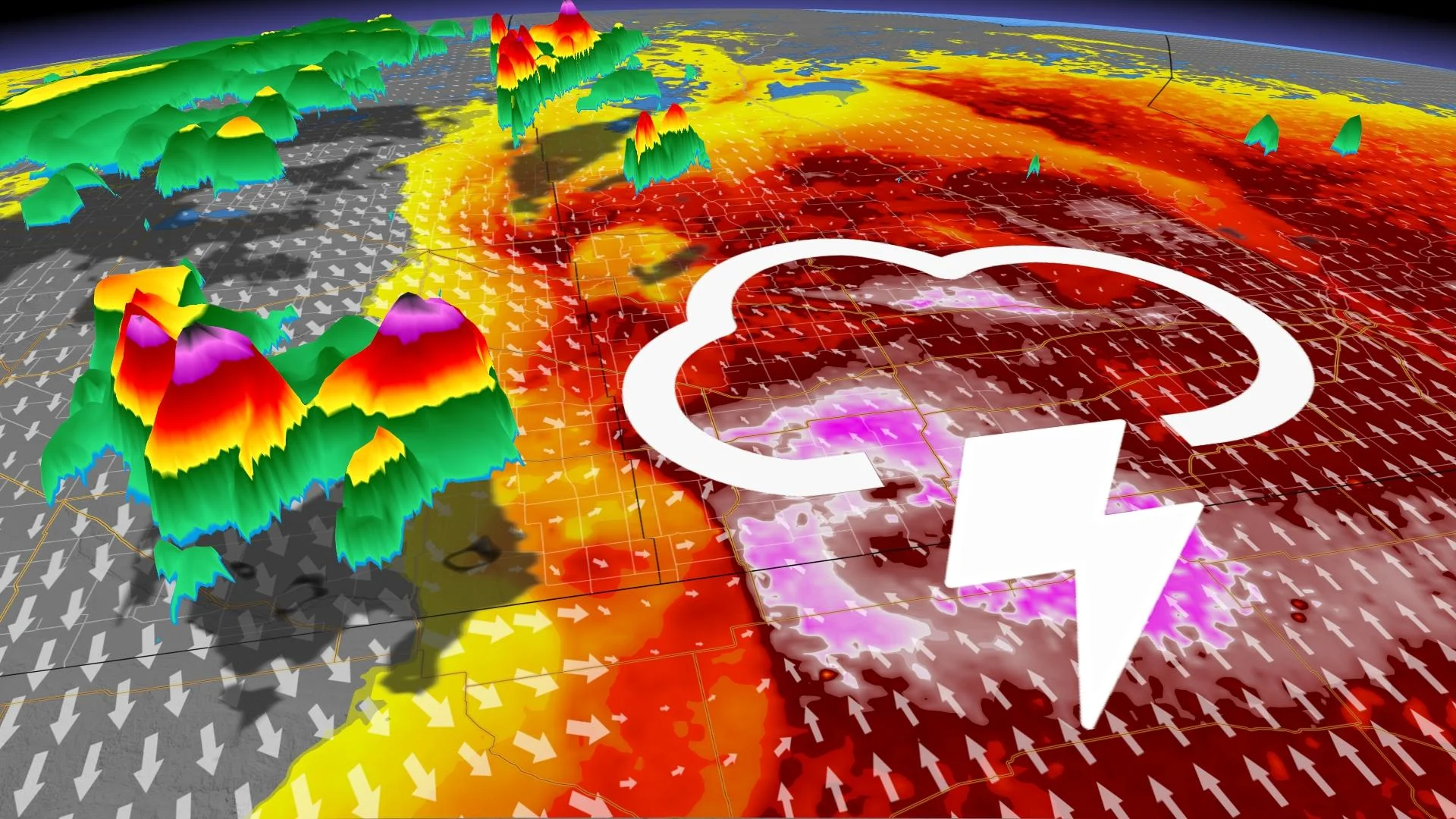
A stagnant, stormy pattern has taken ahold of the Prairies, and will bring a renewed thunderstorm threat on Wednesday and Thursday, even lingering on Friday.
Stay weather-aware this week, especially if you’re planning any travels or if you’re heading out for some summer camping.
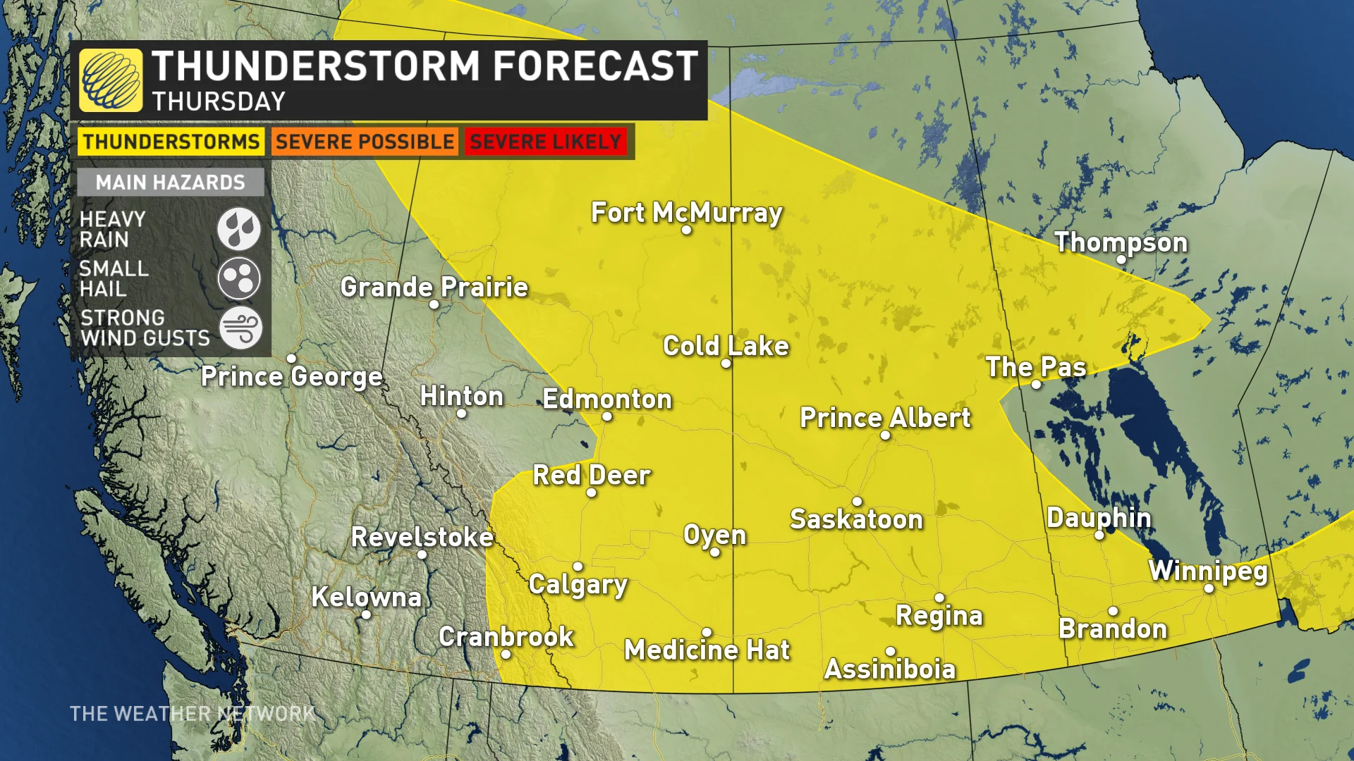
Storm energy and risk stick around Wednesday to Friday
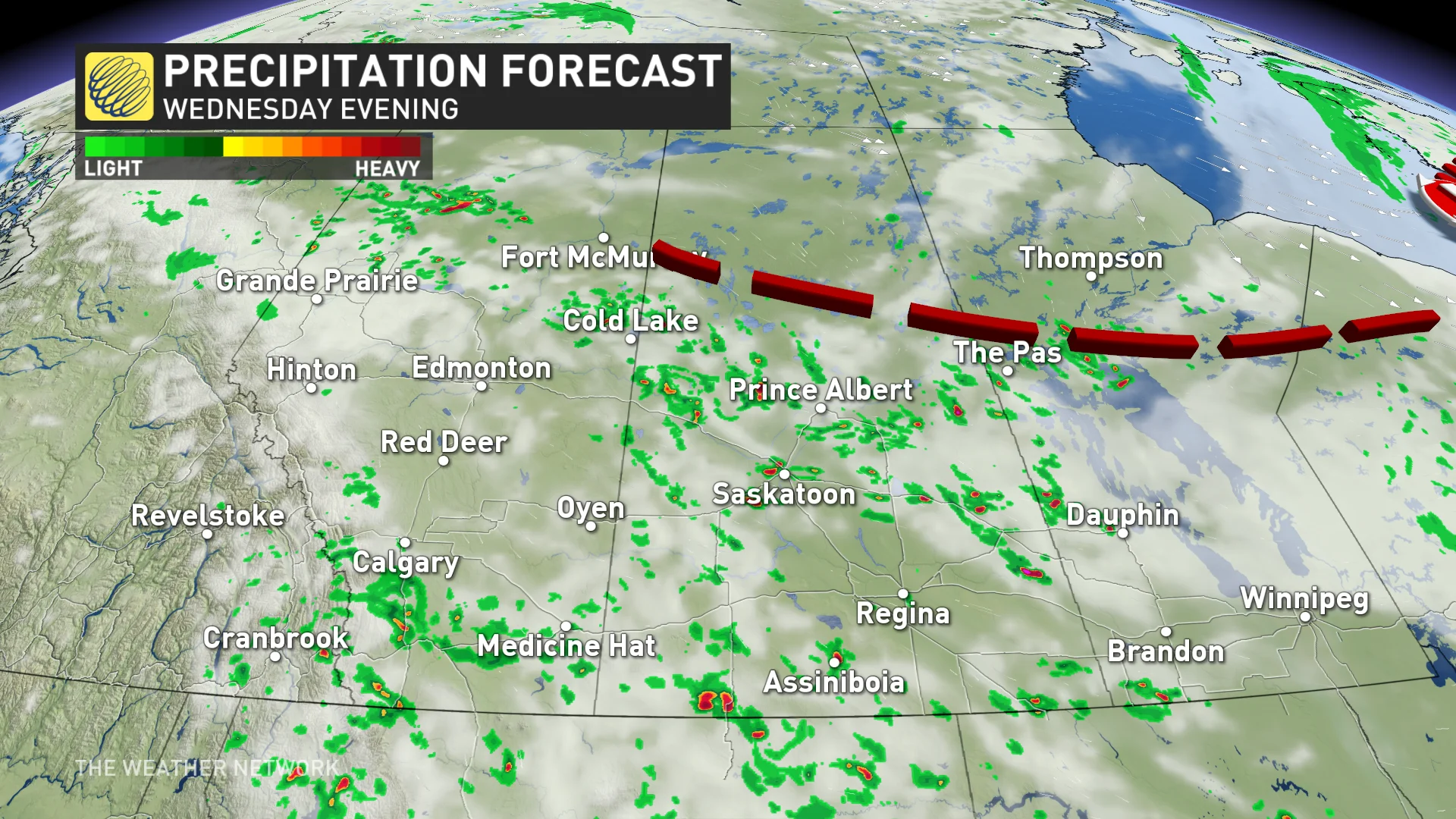
The same low-pressure system that brought storms to the Prairies on Monday and Tuesday will continue tracking eastward on Wednesday, dragging along the risk for severe storms in northwestern Ontario.
YOUR JULY OUTLOOK: Will summer’s sputtering start turn around this month?
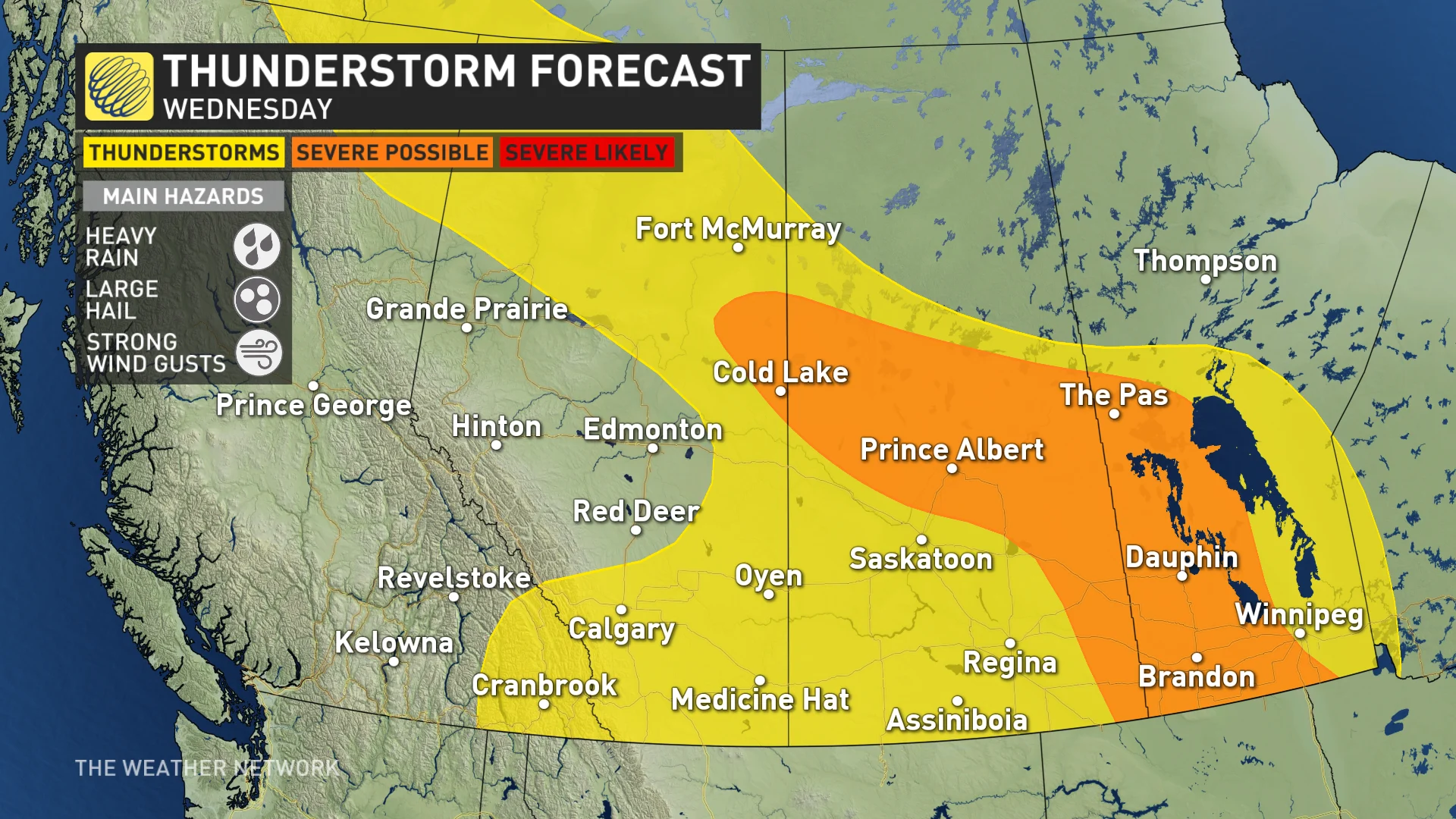
The storm threat will stick around, with the boundary and severe weather risk shifting over southern Saskatchewan and Manitoba on Wednesday.
Thunderstorms will continue to be scattered in nature, so not everyone will receive a storm every day, but the risk is there for it.
There will be enough thunderstorm energy for large hail and heavy downpours along the Saskatchewan and Manitoba border Wednesday afternoon and evening.
DON'T MISS: Spectacular new "3D" Pillars of Creation merges Hubble and Webb views
Southern Manitoba has the greatest thunderstorm energy potential heading into Thursday, so be sure to keep an eye on the sky and stay weather-aware.
The thunderstorm threat continues through the end of the week, but as energy begins to fizzle out, storms will be mostly scattered and non-severe.
Much of the region will become drier than normal heading into mid-July despite the scattered thunderstorms.
Temperatures will also continue to err on the cooler side before a pattern change takes hold in the second half of the month.
A shot of cooler weather, especially for the eastern Prairies, this weekend and early next week, but then hot weather will spread into western areas for early next week, extending all the way into the N.W.T.
WATCH BELOW: Canada's July weather outlook
Stay with The Weather Network for more forecast information and updates on your weather across the Prairies.