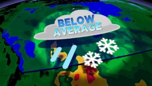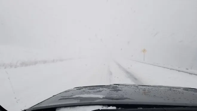
Threat for hazardous winter driving with potent bands of lake-effect snow

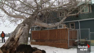
In the wake of the powerful Colorado low that brought record-breaking November wind gusts and extensive damage on Sunday, a change in wind directions has stirred up bands of lake-effect snow, which will make for hazardous winter driving conditions in parts of southern Ontario through Wednesday. Snow squall watches are in effect for areas near Lake Huron and Georgian Bay, with some areas threatened with 10-20 cm of snow. The GTA won't see the worst of these squalls, but some occasional flurries and quick bursts of snow aren't out of the question either. As the snow winds down by early Wednesday morning, easing winds and a brief warm-up will be a welcome change to end the work week. More on the timing and travel impact, below.
WEATHER HIGHLIGHTS:
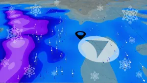
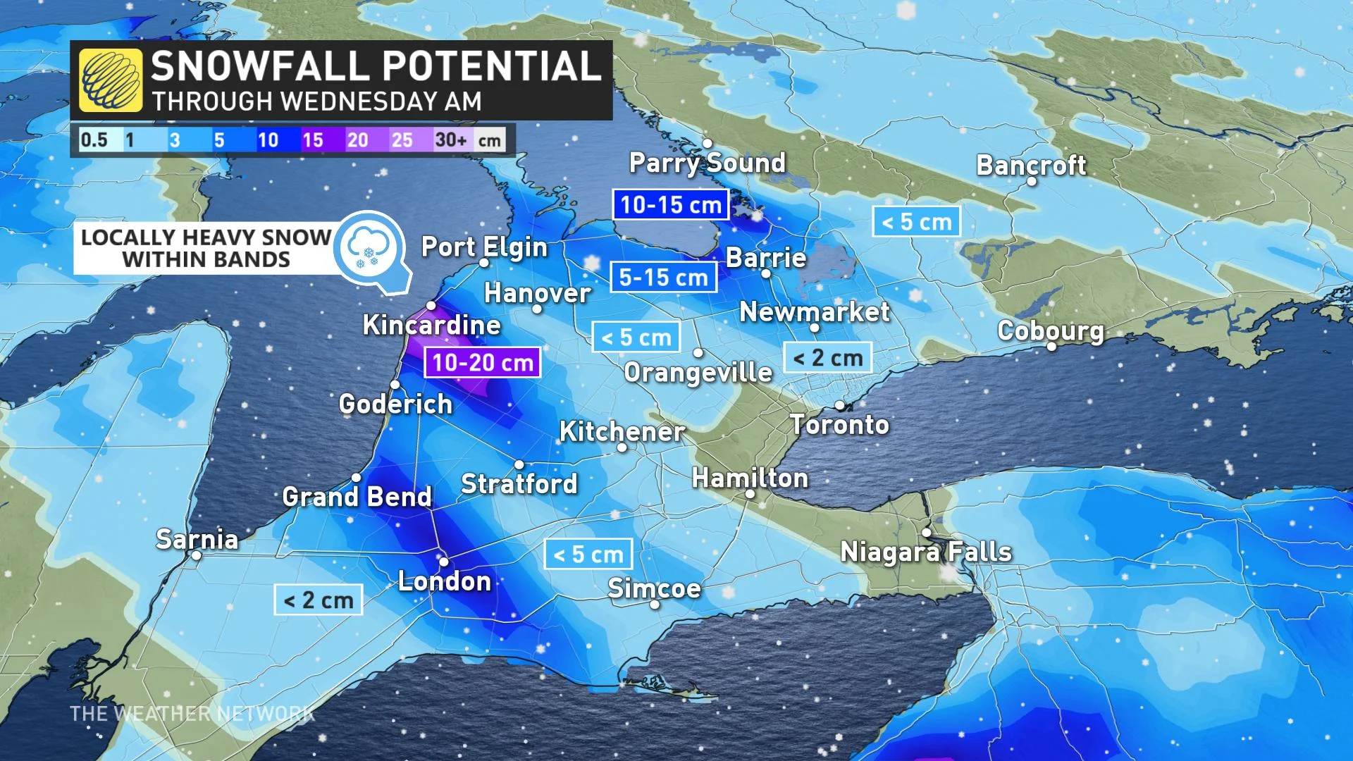
Bands of lake-effect snow squalls Tuesday for the traditional snowbelt regions southeast of Georgian Bay and Lake Huron
Heaviest bands may drop 10-15+ cm of snow; few flakes for the GTA
Lake-effect flurries, winds ease off Wednesday morning, warmup by Thursday
TUESDAY: POTENT BANDS OF LAKE-EFFECT SNOW
With a change in winds and the still open, warm waters of the Great Lakes and Georgian Bay, lake-effect snow and possible squalls will continue in parts of southern Ontario Tuesday. In fact, the traditional snowbelt regions could see some hefty amounts in some of the more prolonged bands.
There will be a widespread 2-5 cm for much of the snowbelt regions, but 10-15+ cm is not out of the question in the heaviest bands tracking through Kincardine to London, as well as the Barrie area. The GTA won't be unscathed entirely, but will only see a few flakes through the day, with some quick bursts of heavier snow possible.
Also contributing to the lake-effect snow setup is a shot of arctic air that has channelled into the region, forcing daytime highs to near or just slightly above the freezing mark in most areas.
Parts of cottage country will even be plunging into the minus single digits.
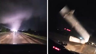
MUST SEE PHOTOS: Intense winds shake ground, send debris flying in Ontario
PREPARE FOR DIFFICULT TRAVEL WITH SIGNIFICANT ACCUMULATIONS
Snow squall watches are in effect for parts of the southwest and areas along Lake Huron and Georgian Bay, with motorists being warned to prepare for deteriorating conditions and difficult travel.
"Snow squalls cause weather conditions to vary considerably; changes from clear skies to heavy snow within just a few kilometres are common," Environment Canada warns in the snow squall watch. "Visibility may be suddenly reduced at times in heavy snow. Consider postponing non-essential travel until conditions improve."
WEDNESDAY: FLURRIES DIMINISH AND WINDS FINALLY EASE
Lake-effect flurries will finally ease off early Wednesday morning, with winds relaxing and giving Ontarians a much welcome change.
Daytime highs will still only hover around freezing before a big bump in temperatures for the final days of the work week.
Double-digit highs will reach the GTA Thursday, and by Friday, those temperatures will become widespread across the south.
However, cold air will push south into the region on the weekend once again and rain will develop along a boundary between the very mild air to the south and colder air to the north.
STILL HOPE FOR WARMER WEATHER TO END NOVEMBER
The record-breaking November heat may now seem like a distant memory, especially after the classic fall storm that ended the weekend in Ontario, and the lake-effect snow set-up for parts of this week.
But overall, it still looks as if November will tip to the milder side.
"A couple days of cooler than seasonal temperatures early next week, but at this point it looks like an extended period of milder weather for the second half of next week and possibly continuing through the end of the month," says Weather Network meteorologist Dr. Doug Gillham.
Check back for the latest weather updates in your area.