Sick of winter? Look on the bright side: we’re halfway to spring!

This recent stretch of brutal cold and intense snow left many Canadians pining for the warmth and sunshine of spring. It’s closer than you think
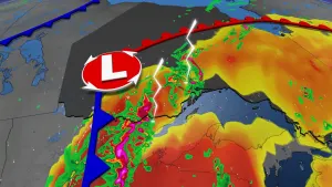
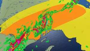
It’s been a toggle-switch kind of winter across much of Canada this season as a historic stretch of above-seasonal conditions suddenly flipped to a once-in-a-generation cold snap that enveloped a huge portion of the country.
Right around that second week of bitter wind chills and snow squalls is when even the hardiest winter lover begins thinking fond thoughts of springtime warmth and sunshine.
DON’T MISS: Ready for a warm-up, Canada? You’ll love next week’s forecast
We’ve still got a long way to go before we’re done with this winter—but we’re about halfway through the season now, and you can find plenty of good news and positive steps if you look around.
Days are noticeably growing longer now
Even as many of us shiver in the biting cold, one of the changes we can see and feel is the length of the day growing bit by bit. Most major cities across Canada will gain about an hour of daylight over just the next three weeks.
Toronto will gain about 50 minutes of daylight between January 20 and February 10 as the city’s sunrise moves 22 minutes earlier in the day and the sunset slips back by 28 minutes.

CHECK IT OUT: Winter 2023-2024 could be best in years for observing the night sky
Folks farther to the north will see a more dramatic shift as the sun’s rays inch higher in latitude over the next few weeks.
Calgary is on track to gain 67 minutes of daylight by the second week of February, with much of the change arriving thanks to the sunset moving from 5:06 p.m. to 5:42 p.m.—providing just enough daylight to take a refreshing walk around the block after work.
Temperatures start to (slowly) rise from here
All that extra sunlight spilling into the northern hemisphere will gradually help to warm the atmosphere and force the early days of spring-like weather to creep north toward the border.
It may not feel like it right now, but most folks across Canada are either near or in the seasonal ‘dip’ in average high and low temperatures. The latter half of January is historically the coldest part of the year for most of the country.

Seasonal high temperatures in the Greater Toronto Area typically bottom-out around -2°C by January 20 before (slowly!) rising over the following days and weeks.
RELATED: What is the polar vortex? How it’s responsible for dangerous cold

Average daytime temperatures on the Prairies begin dawdling back toward the freezing mark through February and into March.
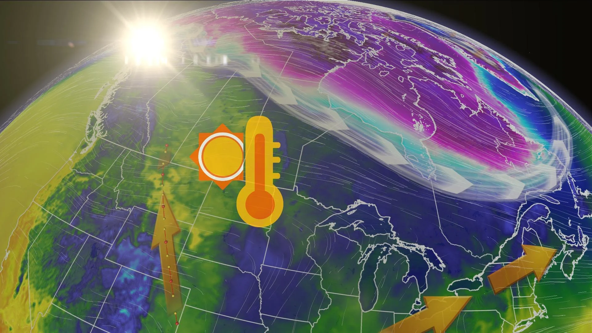
Helping matters along this year is a strong El Niño in the eastern Pacific Ocean that’s kept an above-seasonal pattern draped across much of the country through the first half of winter. Despite the recent cold snap, this warmer pattern will continue flexing its influence in the weeks ahead with above-seasonal temperatures for millions of Canadians.
Hints of spring soon creep toward the border
If you’re looking for even more solid signs of spring, just take a peek south of the border.
We can track the progression of bonafide springtime patterns and temperatures by watching how animals and plants respond to the changes.

Spring peeper frogs begin singing their distinctive song across the southern U.S. as early as the first week or two of February. The first blooms start for snowbirds down in Florida and Arizona in February before steadily marching north toward Canada.
Rising temperatures over the southern half of North America will force the jet stream to begin migrating north, as well, which can allow for more robust storms to track through Canada. This can help pull warmer temperatures and plain ol’ rain farther north.
Winter is still a long way from over
While things are on the upswing here in the second half of winter, the cold season itself is far from over. We’ve still got a long way to go before we’ve shaken the winter blues for the year.
Folks across interior sections of Western Canada don’t see seasonal high temperatures climb above the freezing mark until February and March.

MUST SEE: How the tropics help produce big springtime snows on the Prairies
Some of the worst snowstorms on the Prairies occur during the late winter and early spring, fuelled by the same Gulf moisture that brings warmer temperatures and rainfall to the south and east.
Snow is still common across most of Canada’s major cities well into astronomical spring. Ottawa, Montreal, Halifax, and St. John’s all average double-digit snowfall totals during the month of April.
We’re about fifty percent of the way through climatological winter. A cold wind’s still blowing, but fear not: there’s sunlight on the horizon.