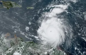
Significant rain, storms meander through Alberta, Saskatchewan ahead of cooldown

An incoming cooldown will provide many on the Prairies some much-needed relief from the stagnant heat that has been fuelling widespread storms for the past couple of weeks.
Visit The Weather Network's wildfire hub to keep up with the latest on the active start to wildfire season across Canada.
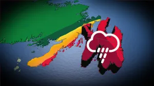
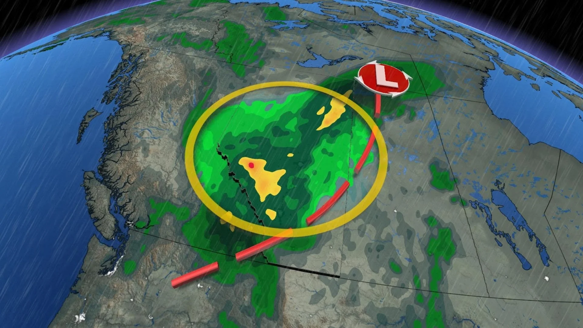
The summer-like warmth and yet another low-pressure system is helping to fuel a renewed thunderstorm risk in parts of Western Canada this week, with Thursday's focus on north-central Saskatchewan where the greatest chance of severe weather is.
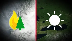
As Canada continues its worst fire season for this century, the widespread rain and incoming cooler temperatures could provide some relief for Alberta's ongoing wildfires. However, the threat of lightning could spark new blazes and worsen the situation for communities such as Edson and parts of Yellowhead County.
DON’T MISS: No re-entry timeline for evacuees as Alberta breaks wildfire season record
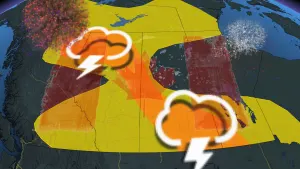
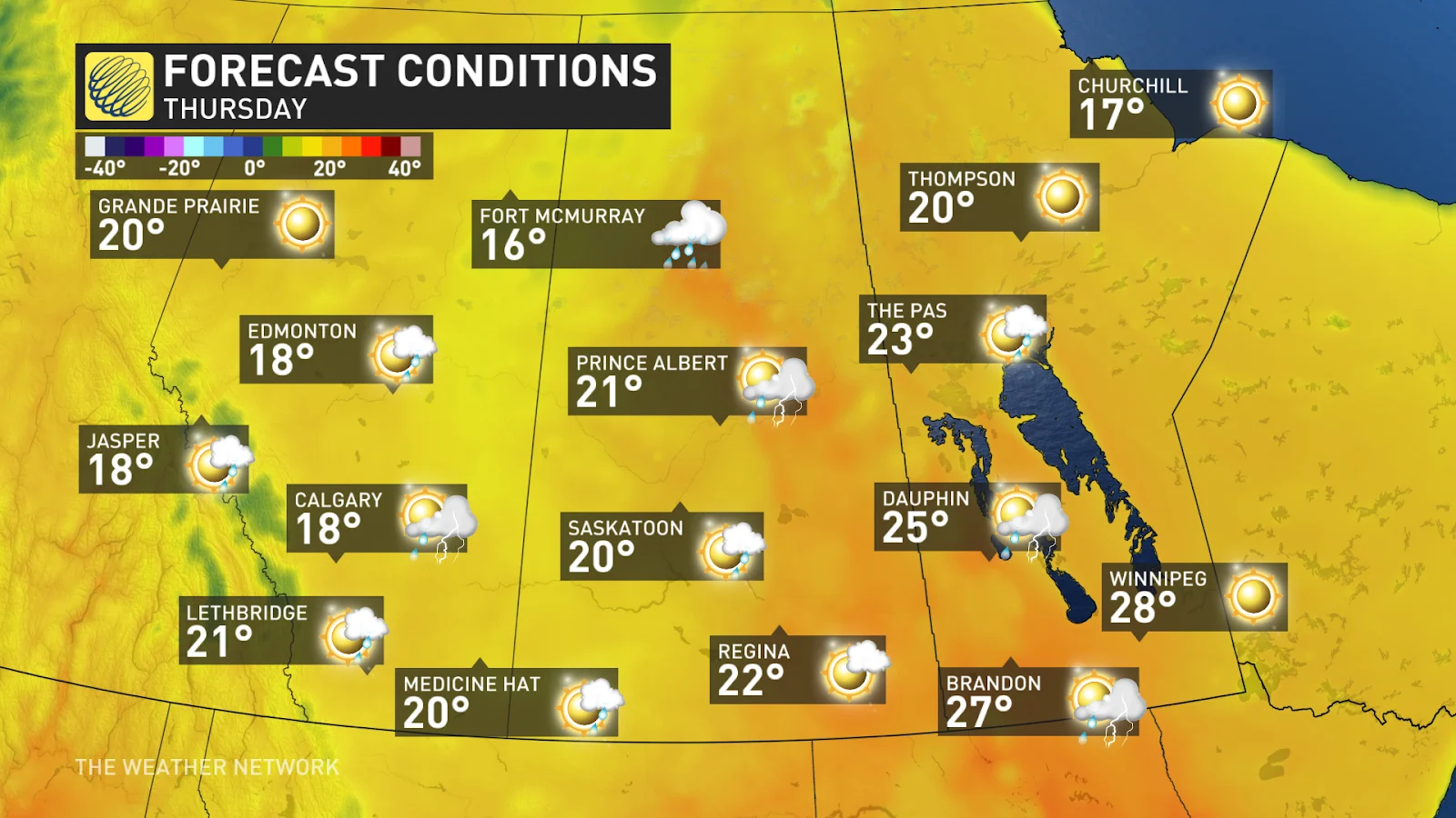
Thursday
Areas: Saskatchewan and Manitoba border
Timing: Throughout the afternoon and evening
Weather: The thunderstorm risk moves east on Thursday but greatly diminishes in strength.
A prolonged cooldown will then sweep across Western Canada, bringing seasonal to cooler conditions all week long. This is great news in terms of fire weather; there will not be enough rain to put the fires out all together, but the combination of some rain with cooler temperatures will surely aid in controlling them.
Thursday may bring the coldest temperatures Fort McMurray has recorded since May 22nd - over 3 weeks ago.
DON'T MISS: What’s in wildfire smoke? Toxicologist explains health risks, best masks to use
Check back frequently for the latest on conditions across the Prairies.