Treacherous travel continues in Alberta, bitter cold snap ahead

There are plenty of flakes left to fall Sunday, as part of a deep cooldown that'll leave many places feeling like January.
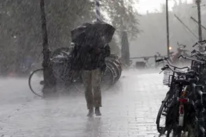
The storm that rolled into Alberta and parts of Saskatchewan Saturday will gradually diminish in intensity north to south through the day Sunday, leaving significant amounts of snow behind it -- accompanied by a cold snap with will make the region feel more like January. There is hope for milder temperatures on the horizon, however -- but not for everyone. We break down how much snow is still ahead, and who'll see a break from the bitter chill, below.
Time to prepare for the season ahead! The Weather Network's Winter Forecast launches Monday, November 18.
WEATHER HIGHLIGHTS:
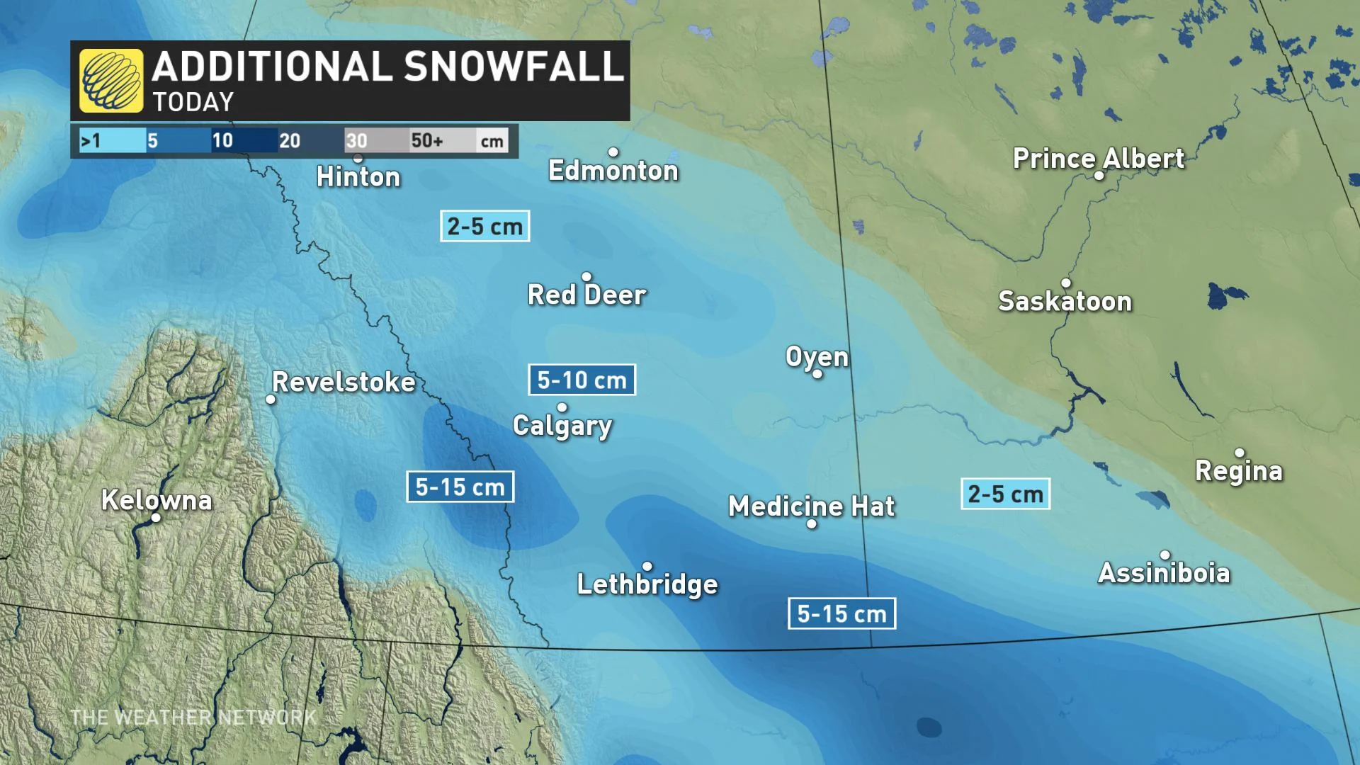
Heavy snow tapers off north to south, ending through the evening
Highest amounts left to fall in the south, with some upslope enhancement for the foothills
January-like cold for Sunday, milder air ahead for some by mid-week
Stay aware of ALERTS in your area
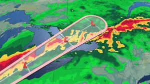
WATCH BELOW: TRACKING SNOW FOR ALBERTA, SASKATCHEWAN
Sunday began with snowfall warnings still in effect for much of southern Alberta, though drawn back from the storm's peak on Saturday as the snow gradually ends north to south -- after a widespread 10-15 cm reported in the Edmonton area and another 20+ cm in Grand Prairie.
For more southerly areas, the snow continues through the morning, including for Calgary, which remained in a snowfall warning, as well as southwestern Saskatchewan. Upslope winds will enhance totals across the southern foothills, and that's where it'll last the longest, easing through the evening.
FEELING LIKE JANUARY
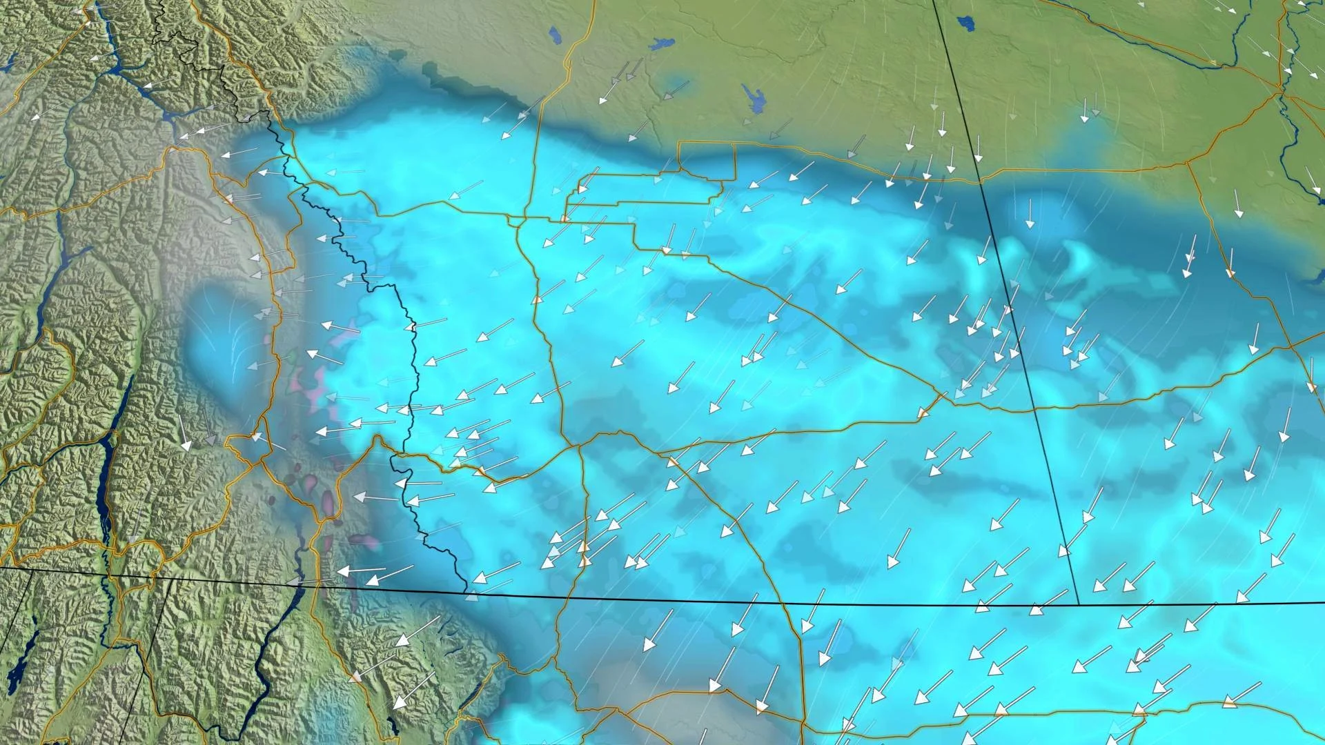
And after the snow comes the cold -- in this case, a helping of frigid temperatures cold even by January standards. Sunday will feature the coldest temperatures of the season so far for much of the Prairies, with afternoon highs running 10 to 20 degrees below average and cold breezes pushing wind chills into the minus twenties for many.
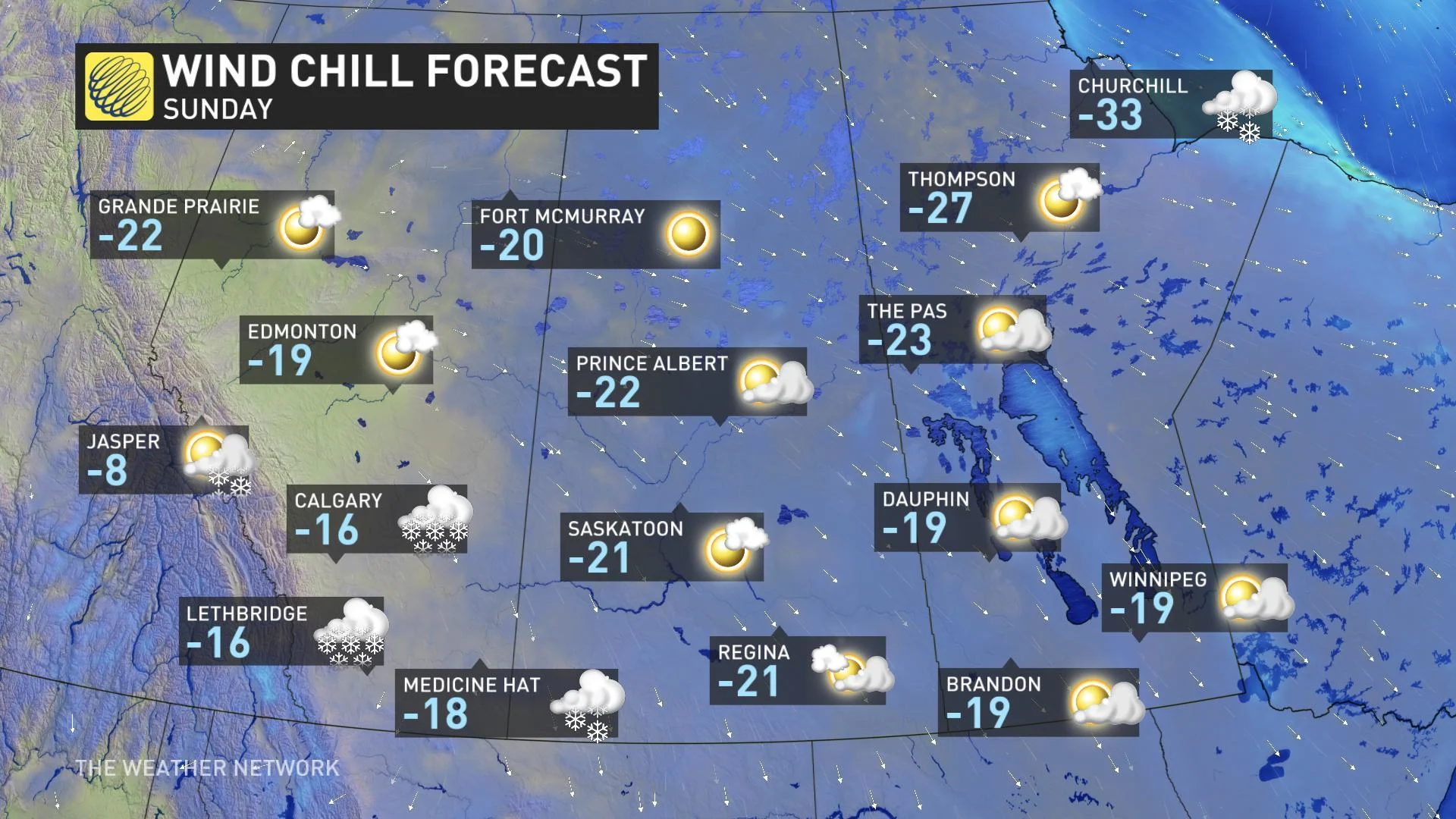
There is better news on the horizon, however, as the core of Arctic high pressure responsible for the harshest cold drifts east through the early part of the week and milder Pacific air creeps over the Rockies. That means a return to seasonal temperatures is in store for much of the region through mid-week. While that's still on the cold side as we head into mid-November, highs near freezing will be a welcome change from the minus double-digits.
Those in Manitoba, as well as across northern tier of the region, may miss out on the milder weather, however, as another shot of Arctic air creeps in to reinforce chillier weather, keeping highs about five degrees below seasonal through the week.