Slick roads possible in Alberta as snow continues Saturday evening
Parts of Alberta will be on the hook for a quick round of snow, enough to cause some issues on the roads for travellers on Saturday
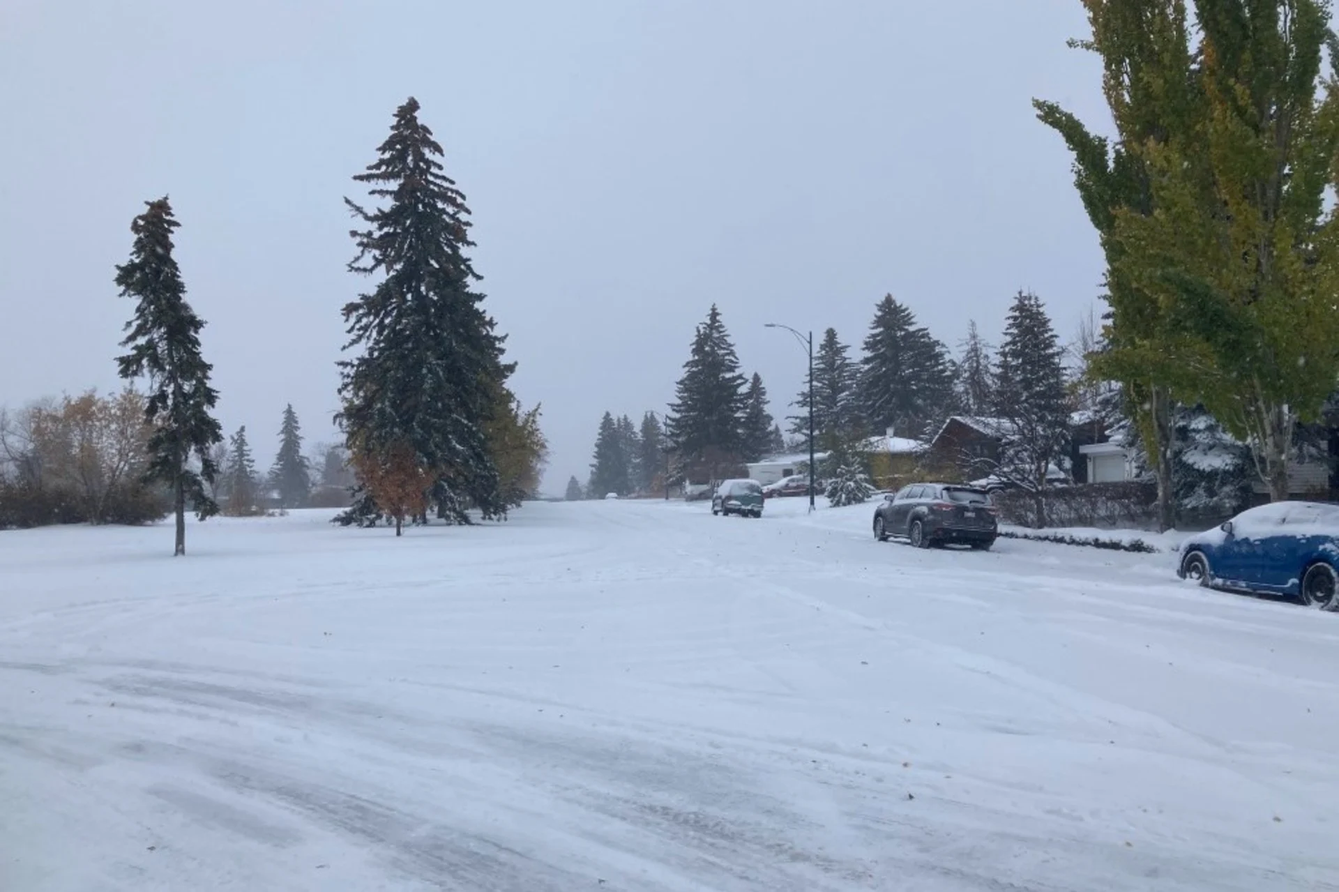
Snow developed across parts of southern Alberta on Saturday as a system crossing the Rockies served as the opening round to the province’s impending deep dive into winter weather.
Keep the potential for slick roads in mind before heading out through Saturday evening. Conditions will improve by Sunday, when all eyes will turn toward the deep freeze heading for the Prairies next week.
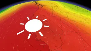
GET THE LATEST: Highs in the -20s coming as bitter Arctic air freezes Western Canada
Snow that developed near Jasper and Hinton earlier Saturday will continue sliding down the foothills into the evening hours, arriving around Calgary, Banff, and Airdrie to end the day.
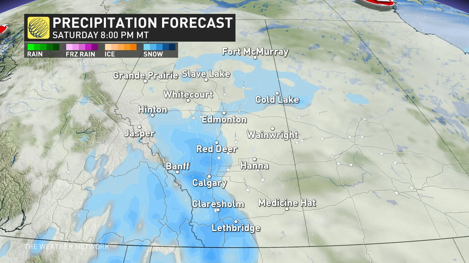
The steadiest light snowfall will continue through the early overnight period before drawing to a close Sunday morning. A few flurries will persist for folks around Highway 3.
This isn’t going to be a blockbuster storm by any means, but it’ll be enough for travellers to have to take it slow in spots.
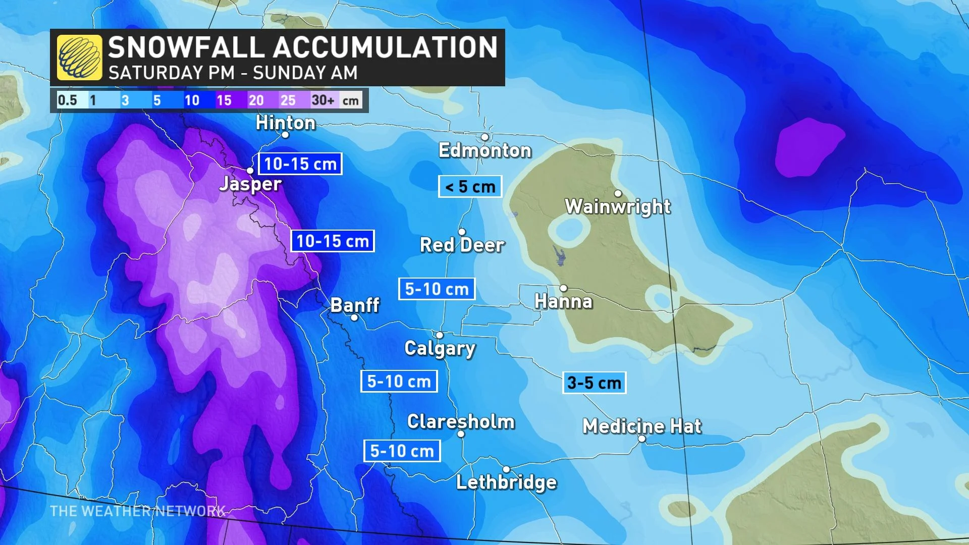
Snowfall amounts are not overly high, but they will be the greatest in the foothills –– from Banff to Jasper –– where 5-15 cm are possible. Even a few centimetres is possible in Edmonton, with about 5 cm forecast for Red Deer. 5-10 cm are likely in Calgary, but quick, intense bands could bring heavier totals to the higher end of this range.
DON’T MISS: What is the polar vortex? How it’s responsible for dangerous cold
Following this weekend’s snowfall, all eyes will turn toward the progress of the polar vortex.
A surge of Arctic air sagging across Alberta into next week will send temperatures plunging far below seasonal for the second week of January—an abrupt reversal from the tremendous and unusual warmth we’ve seen to start the winter.
Daytime highs in Calgary, Red Deer, and Edmonton will struggle to climb out of the -20s by the latter half of next week, with dangerously cold wind chills likely throughout the province.
Stay with The Weather Network for all the latest on conditions across Alberta.
Thumbnail courtesy of James McDonall.