Super-cold thunderstorm sets record with -111°C cloud temperature

According to a new study, -111°C is more than 30°C colder than typical storm clouds and is the coldest measurement of storm cloud temperature on record.
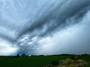
When one thinks of a thunderstorm, usually the last thing that comes to mind is cold temperatures. But hidden inside a towering cumulonimbus cloud, at the very top, the climate can be downright frigid.
In fact, temperatures can be as cold as -111°C -- a record that was uncovered recently in a new paper led by Simon Proud, a research fellow at the Department of Physics and the National Centre for Earth Observation.
SEE ALSO: In the eye of the storm: Chasing Ontario’s tornado-warned storms
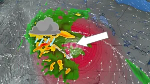
The temperature was captured on Dec. 29, 2018 by a Visible Infrared Imaging Radiometer Suite (VIIRS) sensor on the American NOAA-20 satellite as it flew over a severe thunderstorm in the southwestern Pacific Ocean, approximately 400 kilometres south of Nauru.
According to the paper, -111°C is more than 30°C colder than typical storm clouds and is the coldest known measurement of storm cloud temperature.
HOW DOES A CLOUD TOP GET SO COLD?
The troposphere, situated in the lowest level of Earth's atmosphere, air temperatures decrease with altitude and can reach as low as -90°C in the tropics. Thunderstorms and tropical cyclones can elevate to high altitudes, up to 18 kilometres, so the tops of these storm clouds become extremely cold.
Earth-orbiting satellites equipped with temperature-measuring monitors can find these cold clouds, allowing meteorologists to keep an eye on the storms and issue weather alerts.
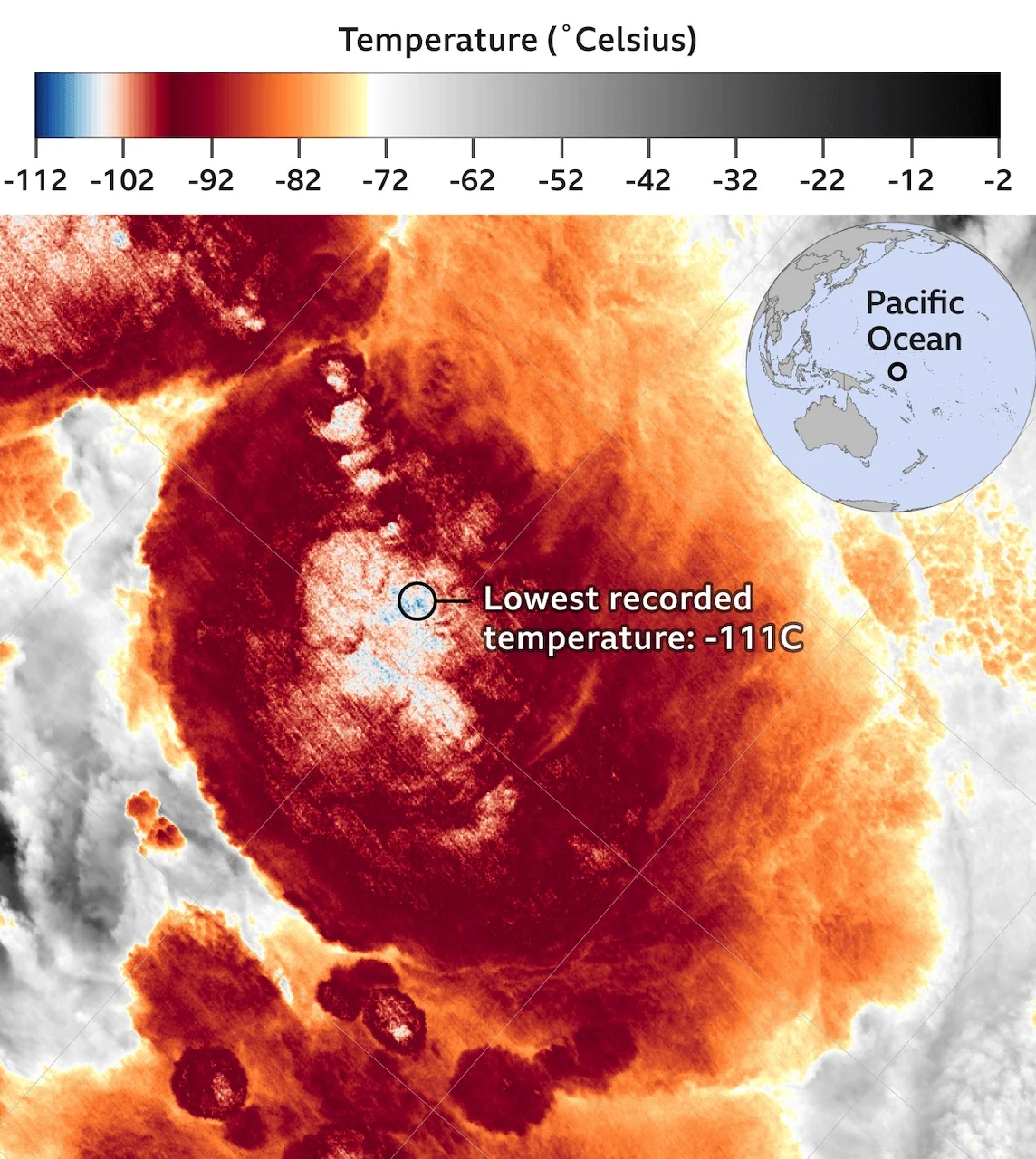
VIIRS (Visible Infrared Imaging Radiometer Suite) I5 brightness temperatures (BTs) for 13:38 UTC on Dec. 29, 2018. The cluster of particularly cold BTs is slightly to the left of the image centre. Photo: NOAA/VIIRS/S. Proud/UniOxford.
Weather Network meteorologist Kevin MacKay says around the equator is where you will reach the tropopause -- the highest point a typical thunderstorm can reach. The most severe storms are able to develop so much momentum that they "punch through that tropopause and go even higher," which is how the top can reach an extremely cold temperature like -111°C.
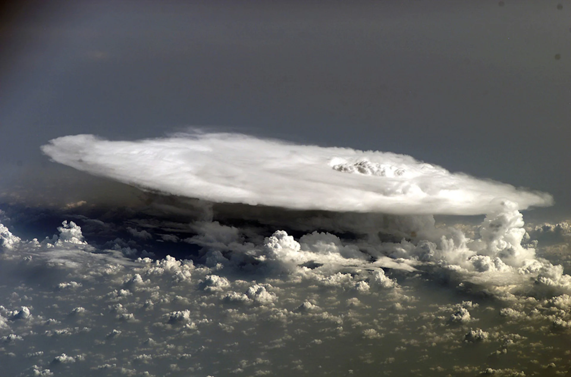
"We have seen these thunderstorms and how they go up and they explode. (They) look like popcorn, then they reach a maximum elevation, and then it just goes straight out like an anvil. They're called anvil clouds," says MacKay.
RECORD-BREAKING STORM HIT THE STRATOSPHERE
The Dec. 29, 2018 storm did just that. It was so powerful that it made it through the troposphere and reached the stratosphere. As it did so, it continued to cool as it achieved height, even though the surrounding air was warmer. This is known as an "overshooting top."
The overshoot resulted in the storm cloud reaching -111°C, becoming the coldest storm cloud temperature ever recorded. The peak of the clouds had risen to an altitude of over 20.5 kilometres above sea level.
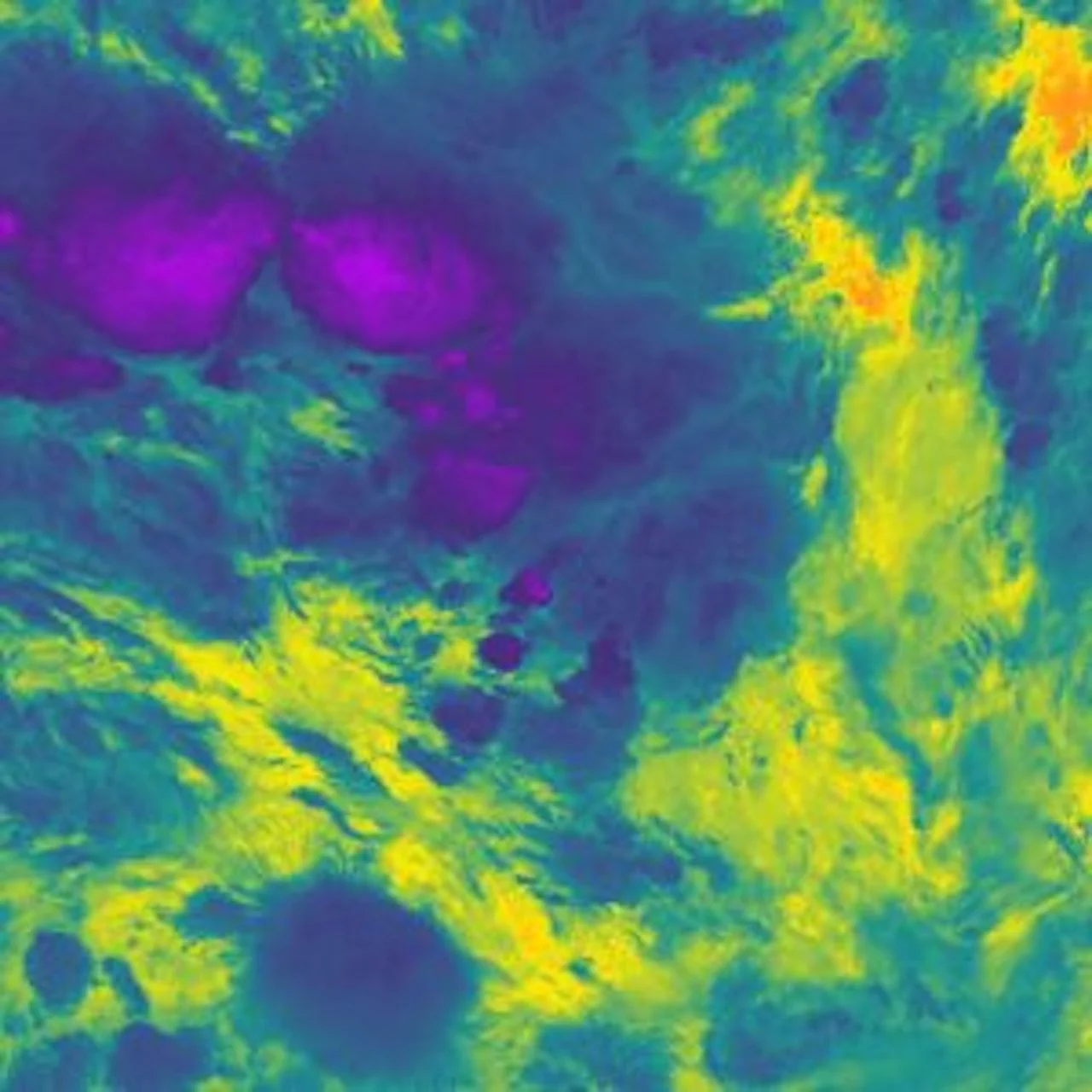
VIIRS infrared view of storms near Nauru on Dec. 29, 2018. The coldest portions of cloud are purple while the warm Pacific Ocean is orange. Photo: American NOAA-20 satellite.
"This storm achieved an unprecedented temperature that pushes the limits of what current satellite sensors are capable of measuring," said Proud, in the news release.
"We found that these really cold temperatures seem to be becoming more common – with the same number of extremely cold temperatures in the last three years as in the 13 years before that. This is important, as thunderstorms with colder clouds tend to be more extreme, and more hazardous to people on the ground due to hail, lightning and wind."
The full study was published in Geophysical Research Letters and can be found here.
Sources: National Centre for Earth Observation | BBC
Thumbnail courtesy of NASA.