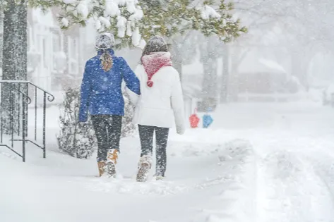
The return of the polar vortex: How bad will it get this winter?

Canada is expected to have a 'classic' winter in 2019-20, and this includes the return of the polar vortex
Ever since the record-setting cold winter in 2013-14, the term polar vortex usually comes up in discussions about Canada's chilliest season.
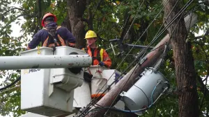
That particular season will always be remembered for its bitterly cold weather that, at the time, seemed to never end. You weren't wrong to think that -- it was the coldest Canadian winter in 18 years and third coldest in 35 years. The extended period of frigid temperatures in most of Canada came courtesy of the polar vortex.
SEE ALSO: WINTER FORECAST: Much of Canada in for a 'harsh' season ahead
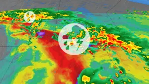
And with the release of The Weather Network's Winter Forecast, which highlights the polar vortex's appearance, questions will pop up about its impact, where and when it will be most felt and just how cold will it get when it does surface.
But before we get down to the details on its effects in our upcoming winter season, here is a refresher on what it is and the driving force behind the phenomenon.
WHAT IS A POLAR VORTEX?
Despite the term being new to many Canadians in 2013-14, it actually wasn't and is something that has always existed.
Simply put, the polar vortex is a large, billowing area of very cold air and low pressure that encompasses the Earth's poles. The intimidating "vortex" term derives from the fact it's cyclonic: It circulates (counter-clockwise in the Northern Hemisphere) in a flow of air that keeps cooler air near the poles.

It's also located fairly high up in the lower/middle stratosphere, but its impacts extend all the way down into the upper part of the troposphere -- the first layer of Earth's atmosphere where the planet's weather occurs.
The phenomenon is quite dependent on large-scale temperature contrasts in Earth's atmosphere, between the poles and the equator as the year progresses. Because of this, it is restricted to polar latitudes in the summer, but dips in the winter as the Northern Hemisphere's average temperatures drop, dragging colder air southward.
Despite the cold that tends to follow it and can factor into winter weather, the polar vortex is not actually a weather maker, for the most part, because of its position in the atmosphere. Winter weather is more influenced by the location of the jet stream, along which low pressure systems move.
READ MORE: Warm and dry winter to dominate across much of U.S. south_
To put it into context, the northern jet stream is the boundary between cooler air from the north and warmer air from the south, though it is not as high in the atmosphere as the polar vortex. It is very responsive to hemisphere-wide temperature variations and becomes "trapped" at the poles during the warm periods.
WATCH BELOW: WHICH PART OF CANADA WILL BE IMPACTED BY THE POLAR VORTEX IN 2019-20?
Canadians in the southern half of the country will be relieved to know that the polar vortex isn't expected to dip that far south and nowhere near as south as the infamous 2013-14 winter. But, it's a different story for those in the north.
Weather Network meterologist Tyler Hamilton said the polar vortex will be a "main driver" of long-term temperatures in the central-nothern regions because of its position to the North Pole and proximity to Hudson Bay.
It is expected that the winter in most northern locales will be colder than most of the winters in recent memory. It's not all doom and gloom for those in the North -- the western Yukon is expected to see warmer-than-normal temperatures.
With files from Daniel Martins.