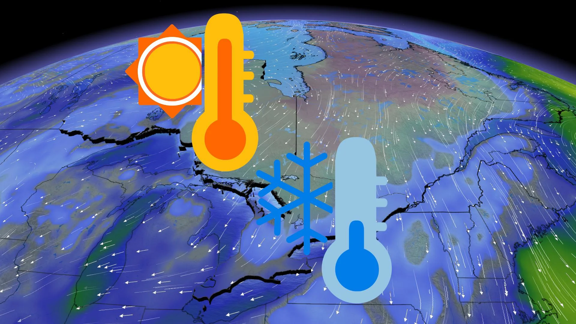
Upside down pattern brings warmer weather to wrong part of Ontario

The start of this new year has felt a little wonky across Ontario, as an abundance of cloud cover and a lack of any real winter cold have been the prominent stories to date. The winter season as a whole in fact, has been much kinder to many parts of the country, with temperatures running well above seasonal overall.
To throw in even more of a curve ball, parts of Ontario lived through an "upside down" weather pattern on Thursday.
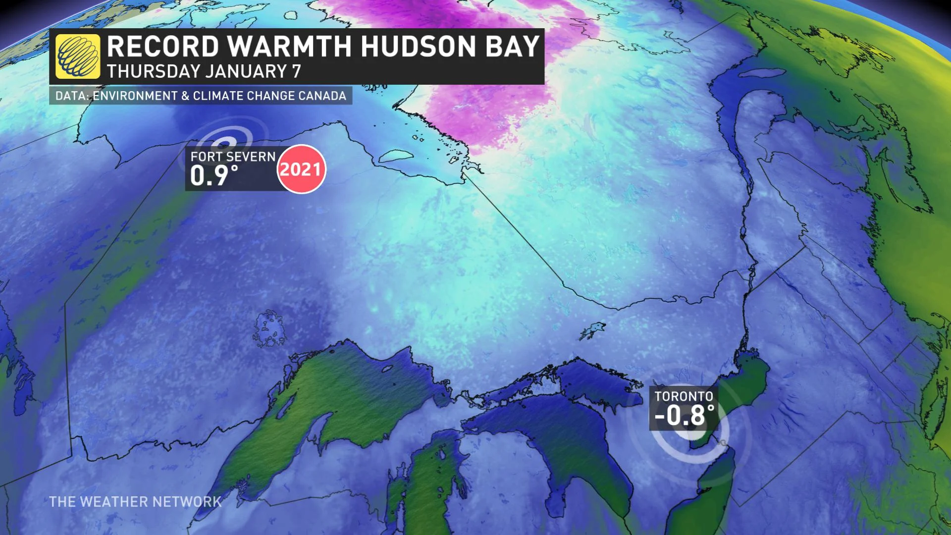
Temperatures on Thursday were warmer along the shores of Hudson Bay than they were in parts of southern Ontario, even by a couple of degrees. Fort Severn for example, saw a record-breaking high temperature of 1.1°C -- practically unheard of for the region during the month of January -- while the city of Toronto sat at -0.6°C.
WHAT GIVES?
You can thank a ridge of high pressure for the temperature disparities felt across the province.
"The ridge is pumping well above normal temperatures across northwestern Ontario, with a cool northerly flow on the back side impacting areas in the south," says Weather Network meteorologist Tyler Hamilton.
A break in the clouds on Friday made for a mostly sunny day across the south. The extended stretch of fair weather will continue into next week, as temperatures remain on the mild side of seasonal.
WATCHING FOR A MORE WINTRY PATTERN DURING THE SECOND HALF OF THE MONTH
According to Weather Network meteorologist Dr. Doug Gillham, a more traditional and active winter pattern looks to kick in for the second half of January.
"However, at this point it does not look like we will see any brutal cold - just more along the lines of what we would expect from the middle of winter," Gillham adds.


